Descent of Arac
A cool descent into the forest along the river that allows you to reach Massat.
Mountain Biking Moderate
- Distance
- 2.4 km
- Ascent
- 46 m
- Descent
- 92 m
- Duration
- 0-1 hrs
- Low Point
- 657 m
- High Point
- 709 m
- Gradient
- 3˚

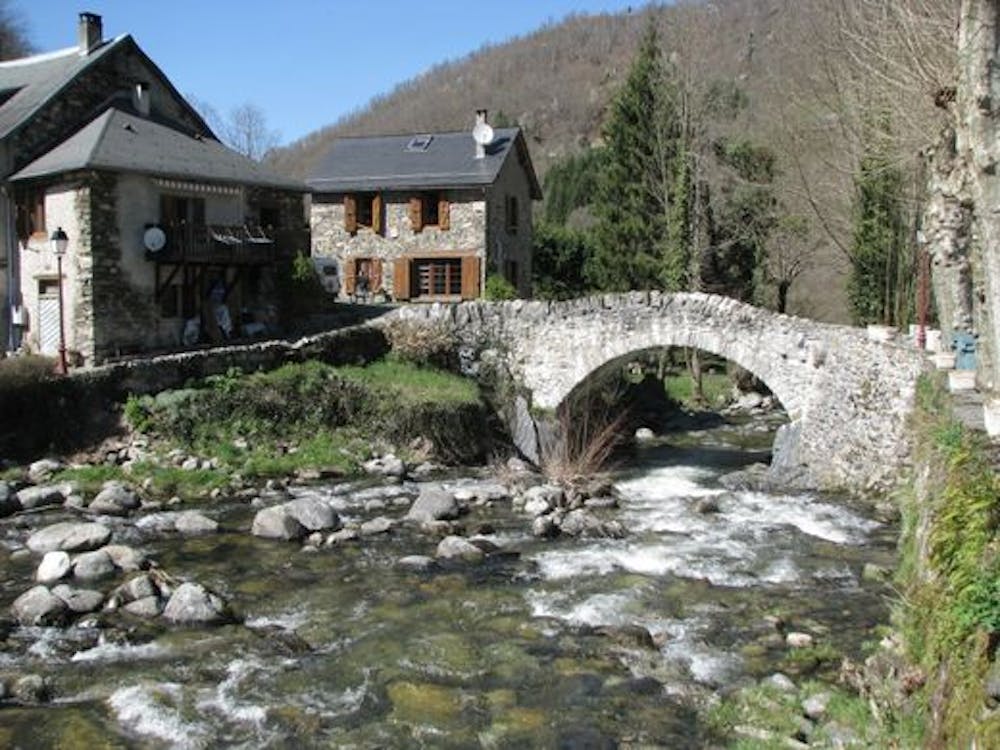
Departure from the village "Le port" crossing the bridge, follow the road that goes to the right and continue on the path. Arrived at a road, climb it and take a path on the right at the next turn. Passage in the water in a beautiful descent. Arrival on the road, left towards Massat.
Difficulty
Moderate
Mostly stable trail tread with some variability, with unavoidable obstacles 8in/20cm tall or less. Other obstacles such as rock gullies and steep sections may exist. Ideal for lower intermediate riders.
Medium Exposure

The trail contains some obstacles such as outcroppings and rock which could cause injury.
Remoteness
Away from help but easily accessed.
Best time to visit
Features
- Technical
- In the forest
- Road sections
- Roots