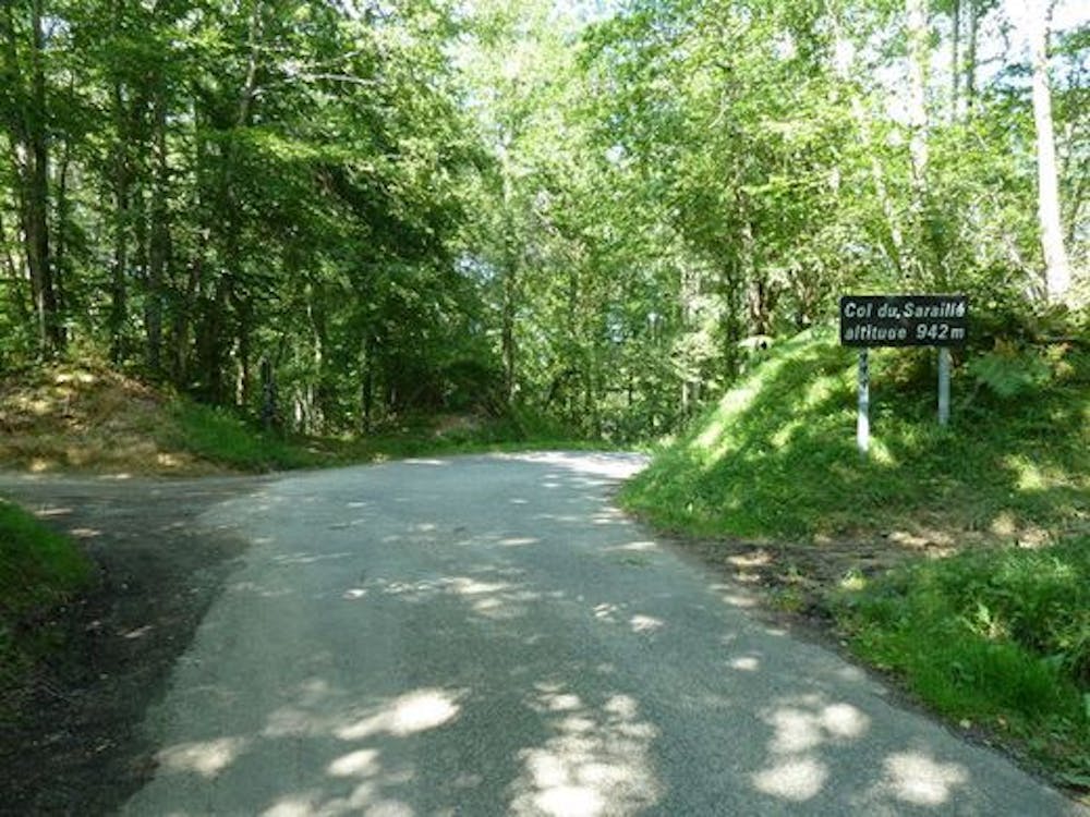
Sarraillé descent
Long descent ine the forest with small stretch of road.
Mountain Biking Moderate
- Distance
- 4.2 km
- Ascent
- 32 m
- Descent
- 385 m
- Duration
- 0-1 hrs
- Low Point
- 589 m
- High Point
- 951 m
- Gradient
- 11˚

Start from the col du Sarrailé.Follow a track (you have the choice between steeper or steeper slopes with turns, they go to the same place). At the road, go down and arrive at a junction turn left and go up a little towards a village, turn right and follow a path that descends. Arrival at a track down turn right towards Biert.
Difficulty
Moderate
Mostly stable trail tread with some variability, with unavoidable obstacles 8in/20cm tall or less. Other obstacles such as rock gullies and steep sections may exist. Ideal for lower intermediate riders.
Medium Exposure

The trail contains some obstacles such as outcroppings and rock which could cause injury.
Remoteness
Away from help but easily accessed.
Best time to visit
Features
- Technical
- In the forest
- Road sections
- Roots