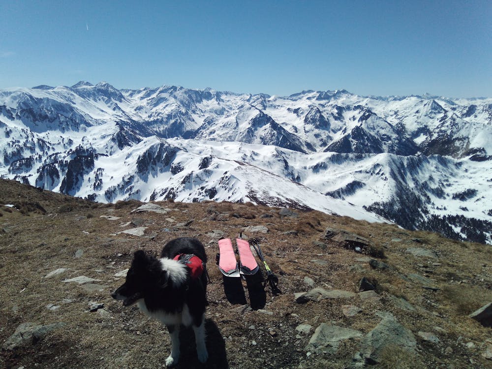
Tarbésou
Pic de Tarbésou par Ascou et variations dans la vallon
Ski Touring Easy
- Distance
- 11 km
- Ascent
- 1 km
- Descent
- 1.1 km
- Duration
- 5-6 hrs
- Low Point
- 1.7 km
- High Point
- 2.4 km
- Gradient
- 39˚

This is a popular ski touring route which is generally considered to be easy. It's remote, it features low exposure (e1) and is typically done in undefined. From a low point of 1.7 km to the maximum altitude of 2.4 km, the route covers 11 km, 1045 vertical metres of ascent and 1057 vertical metres of descent. It's graded 2.2 and Labande grade 3. You'll need skins to complete it safely.
Description
Montée par épaule NE depuis station d'Ascou et col, descente face E et remontée jusqu'à une antécime et descente versant N en forêt. Retour par col de Pailhères
Difficulty
Easy
Wide gentle slopes at around 20 degrees or less.
Low Exposure (E1)

Exposure is limited to that of the slope itself. Getting hurt is still likely if the slope is steep and/or the snow is hard.
Remoteness

Away from help but easily accessed.
Best time to visit
Features
- Face
- Tree Skiing
- Ski Mountaineering
Equipment required
- Skins