4.2 km away
Sormiou
Explore one of the legendary Calanques on this gorgeous hike
Moderate Hiking
- Distance
- 5 km
- Ascent
- 271 m
- Descent
- 262 m
A beautiful linear hike through the famous Calanques
Hiking Severe

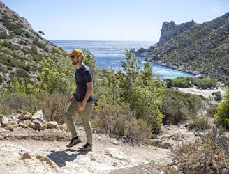
This hike is extraordinarily beautiful and takes you high up in the Calanques national park. The views over the Mediterranean are just breathtaking.
It starts off winding and pretty soon you will have the first views back towards Marseille. This first section is forested and sheltered from the sun. You will also experience the steepest section of the trail, where you have to scramble up a near vertical section (it's short but sweet).
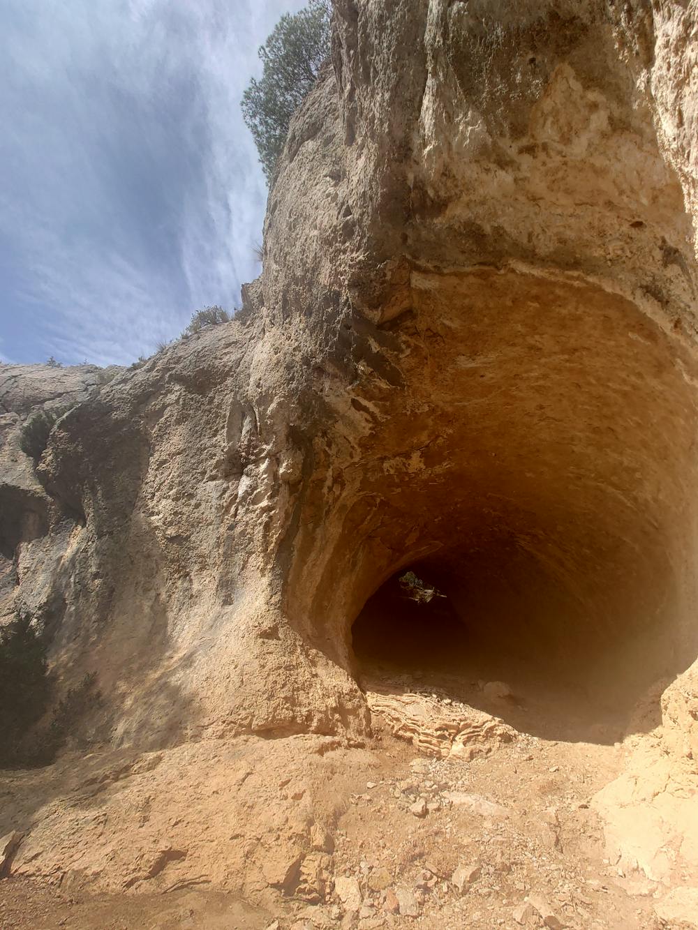
Right after this scramble you will reach Grotte Rolland, one of the coolest features of this hike. The path will take you through a cave and out the other side where you are greeted with some really cool views, just watch your step, it's steep.
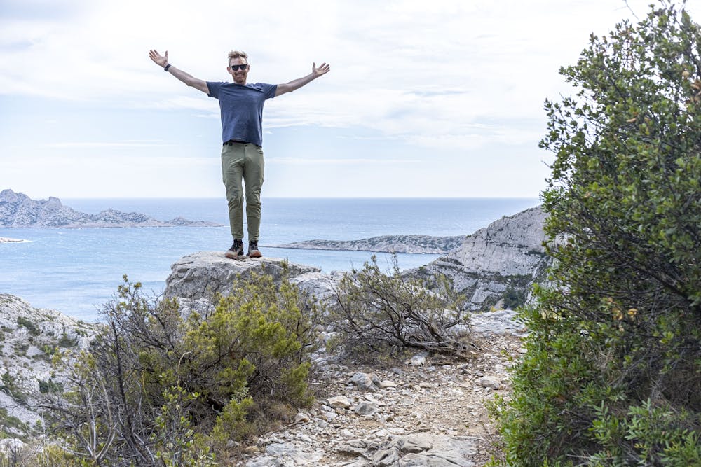
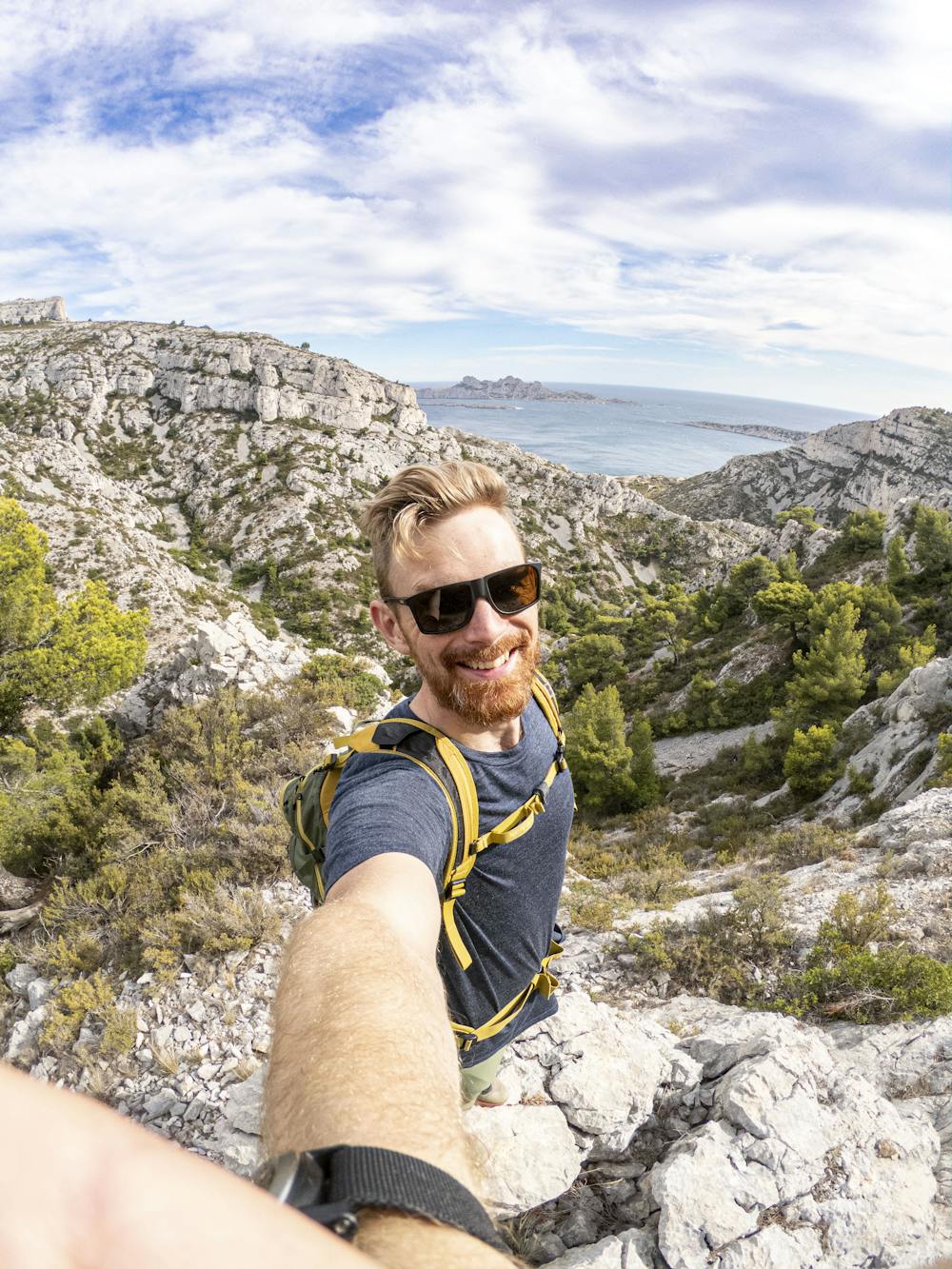
Just a short while later the trail will take you to the Col de la Selle and this is where you will first see (sea?) the Med open up towards the south. Magical views of the magnificent archipelago of Riou are awaiting and awarding all those steps up the hill. :)
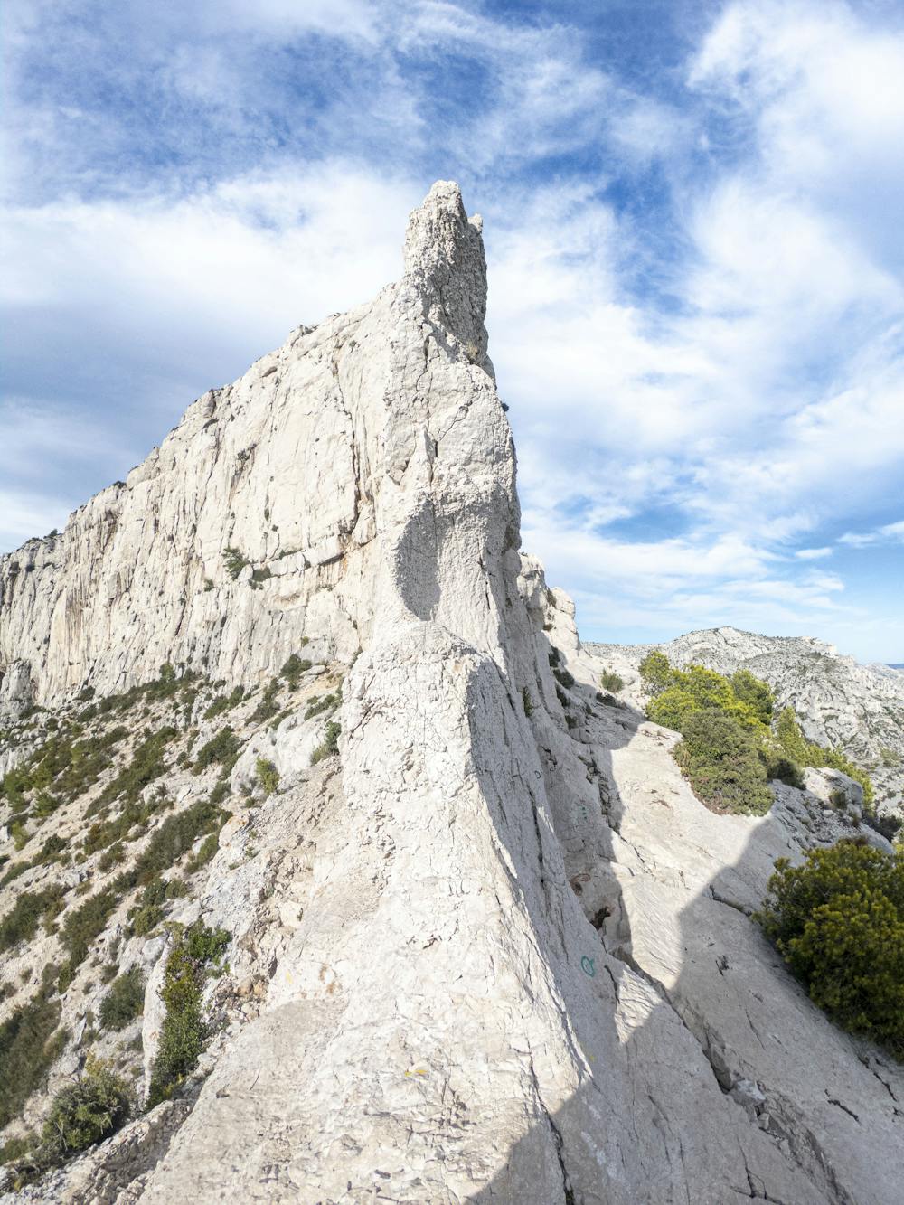
This hike ends in the Calanque de Callelongue, but before you get there you will experience the most exposed part of the trail. And this is no time for jokes, it's gorgeous, but there's no room mistakes. The passage Pas de Demi Lune is gorgeous and impressive, (at approximately 6.8 kms in to the hike) but it requires extreme caution and is only suitable to hikers with extensive knowledge of the alpine world. This gps track follows an easier path down.
Once you reach the Calanque de Callelongue you can catch a bus back to Marseille, you will have to transit because the roads are so narrow.
There's a small shop where you get of the bus, and in Calanque Callelongue there is a restaurant, but be sure to bring enough water and snacks to be self sufficient, there is NO water available during the hike.
NOTE: This hike is difficult, and certain parts are dangerous. Not suitable for inexperienced hikers. Good knowledge of the area, the weather and general conditions is essential. Disregarding the exposure of this hike could result in serious injury or even death.
Severe
Hiking challenging trails where simple scrambling, with the occasional use of the hands, is a distinct possibility. The trails are often filled with all manner of obstacles both small and large, and the hills are very steep. Obstacles and challenges are often unexpected and can be unpredictable.

Some trail sections are extremely exposed where falling will almost certainly result in serious injury or death.

Little chance of being seen or helped in case of an accident.
4.2 km away
Explore one of the legendary Calanques on this gorgeous hike
Moderate Hiking