4.2 km away
Around the Mt Marseilleveyre - Pas De Demi Lune possible
A beautiful linear hike through the famous Calanques
Severe Hiking
- Distance
- 7.3 km
- Ascent
- 410 m
- Descent
- 443 m
Explore one of the legendary Calanques on this gorgeous hike
Hiking Moderate

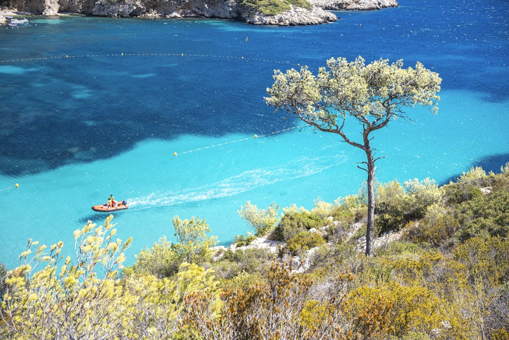
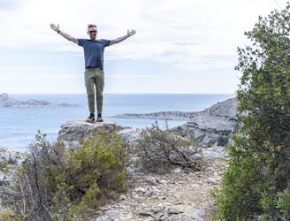
Beautiful, beautiful Calanque Sormiou!
This is one of the most beautiful and picturesque of all the Calanques, and the impossibly turquoise water is what dreams of the Mediterranean is made of.
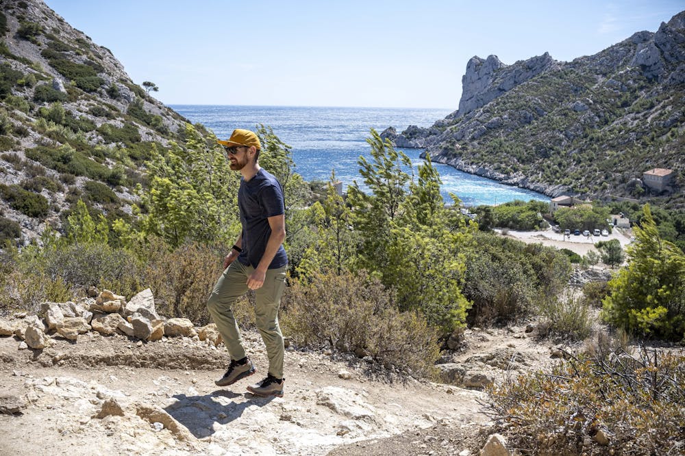
The hike starts of rolling and gently uphill, no steep sections here. When you've reached Col des Baumettes you're rewarded with views that even an AI would struggle to come up with.
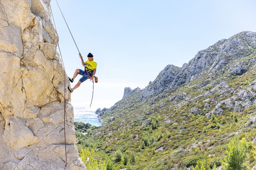
A gentle traverse on a dirt road takes you to Col de Sormiou, this is where the road is, but don't follow the road, there's a track just to the right of the road. If you're lucky you will encounter climbers, the Calanques national park is a true mecca for climbers.
At the bottom of the track you will reach the beach, and boy what a beach! White sand and turquoise water, try resisting getting a selfie here... :) The beach is suitable for children, usually not very big waves and the water isn't very deep.
There are a few restaurants in the Calanque. One of them is Le Cabanon de Jean, and he serves up the best bouillabaisse in all of Marseille. Rumour has it that he hasn't left the Calanque since he was born here... He even has his own fisher who gets the fish in the Calanque itself, it doesn't get more local produce than that.
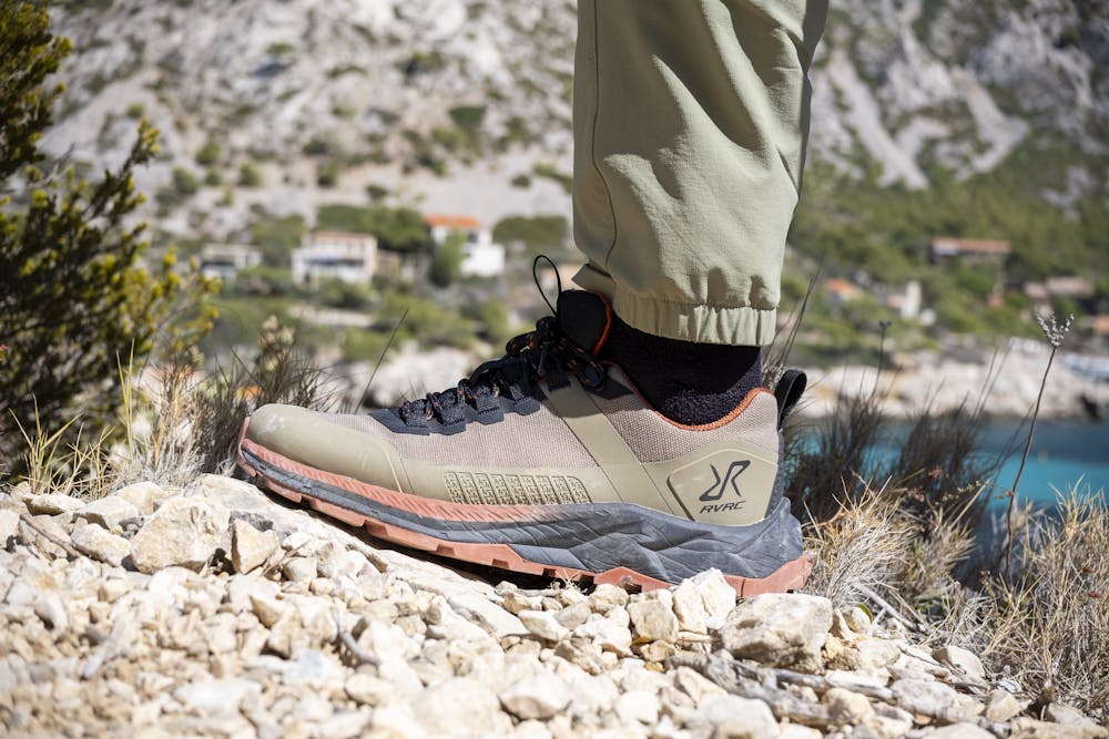
The route that leads out back towards the bus is steeper than before, but still not very steep. Some sections are rocky/rooty and requires care and good shoes. No flip-flops. And if all else fails (like really tired kids or sprained ankles) ask a restaurant to call for a taxi.
Bring sunscreen! And water! There's a restaurant (Chez Ze) at the start/end of the hike, they only accept cash. There's no shop. In the Calanque itself, there are two restaurants, bring cash.
Moderate
Hiking along trails with some uneven terrain and small hills. Small rocks and roots may be present.

The path is on completely flat land and potential injury is limited to falling over.
Close to help in case of emergency.
4.2 km away
A beautiful linear hike through the famous Calanques
Severe Hiking