Chemin des Crètes - Rutali
Corsica
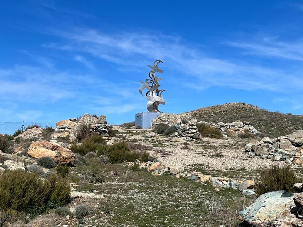
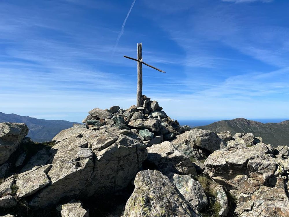
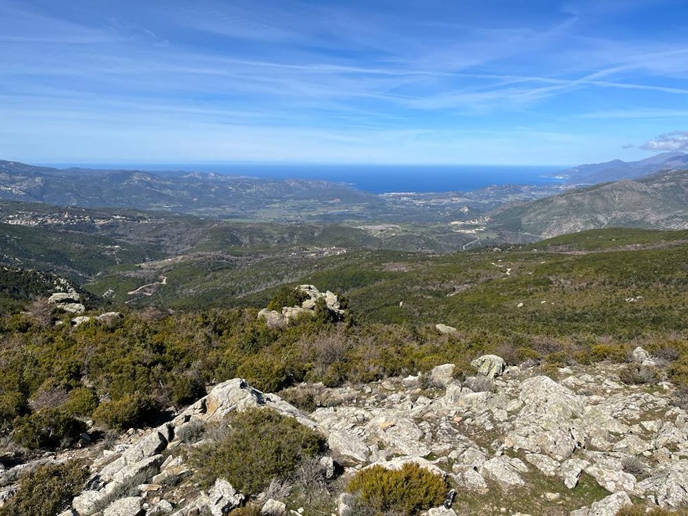
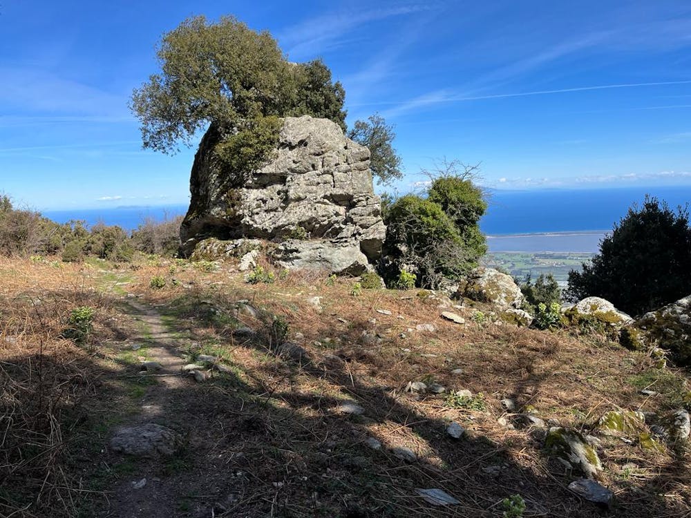
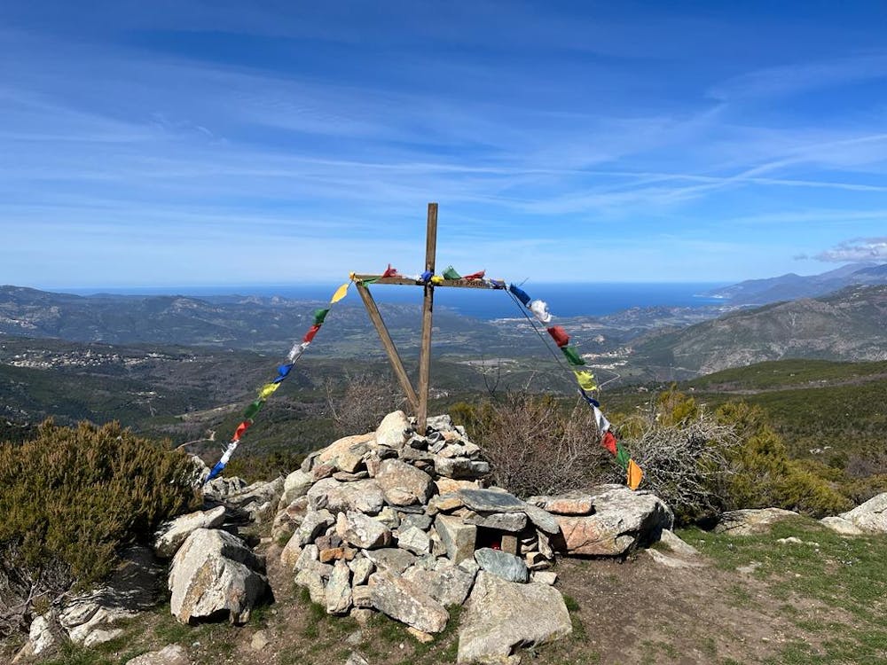
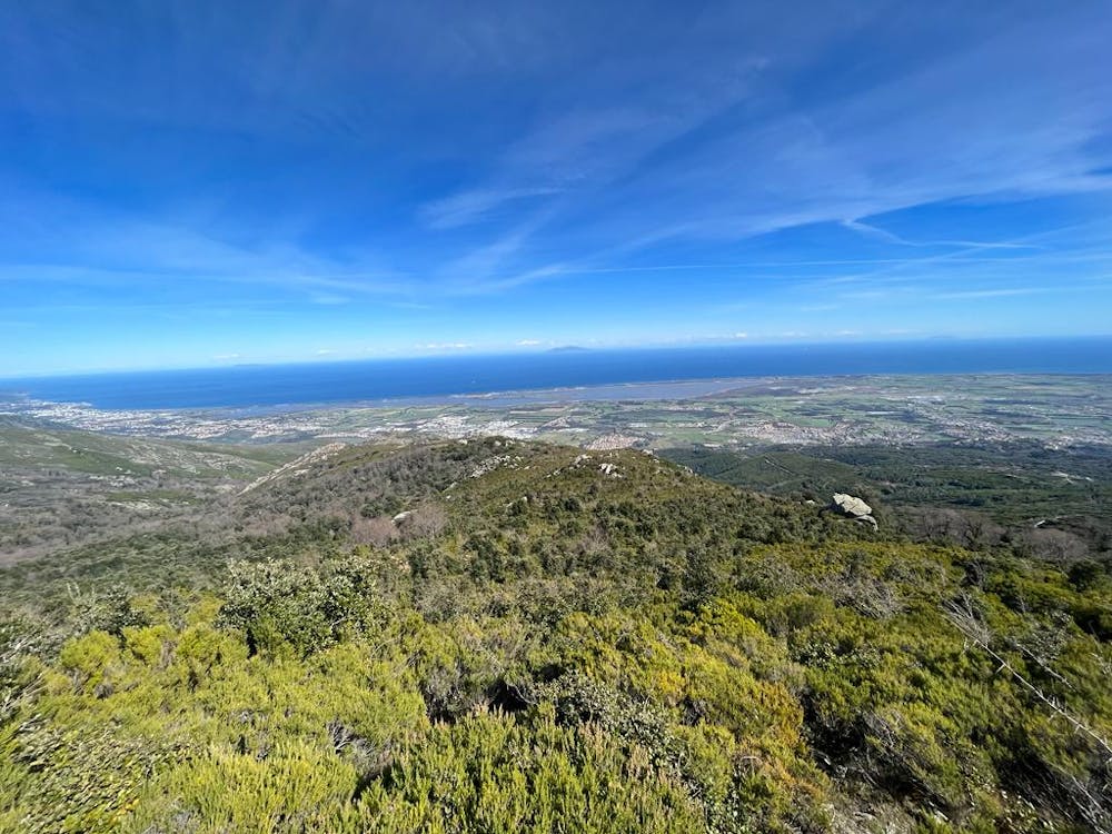
To Monte Torriccella, this hike will allow you to admire the views of the two seas.
Hiking Difficult
- Distance
- 11 km
- Ascent
- 507 m
- Descent
- 507 m
- Duration
- 2-3 hrs
- Low Point
- 596 m
- High Point
- 1 km
- Gradient
- 9˚

This is a popular hiking route which is generally considered to be difficult. It's remote, it features medium exposure and is typically done between April and October. From a low point of 596 m to the maximum altitude of 1 km, the route covers 11 km, 507 vertical metres of ascent and 507 vertical metres of descent.
- •
- •
- •
- •
- •
- •
- •
- •
Description
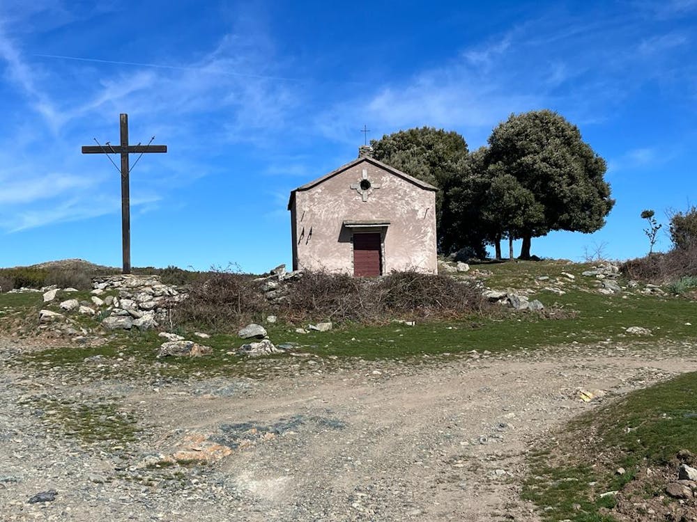
Real hike on the heights of Rutali up to Monte Torricella with a superb panoramic view.
Belle randonnée sur les hauteurs de Rutali jusqu'au Monte Torricella avec un superbe panoramique à la clef.
Difficulty
Difficult
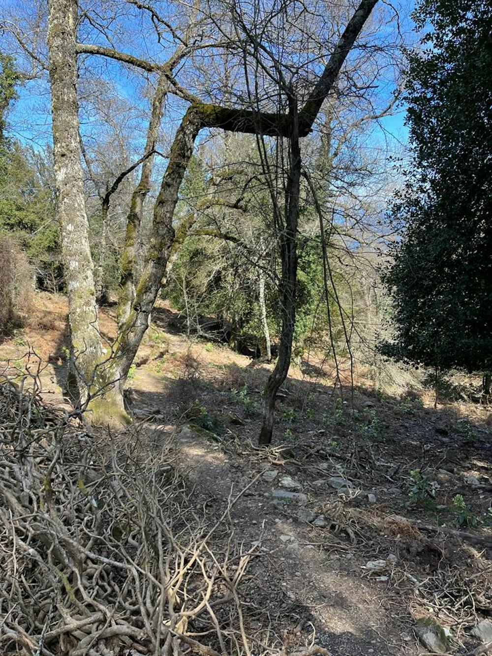
Hiking trails where obstacles such as rocks or roots are prevalent. Some obstacles can require care to step over or around. At times, the trail can be worn and eroded. The grade of the trail is generally quite steep, and can often lead to strenuous hiking.
Medium Exposure

The trail contains some obstacles such as outcroppings and rock which could cause injury.
Remoteness
Away from help but easily accessed.
Best time to visit
Features
- Picturesque
- Summit Hike
- Wild flowers
- Forestry or heavy vegetation