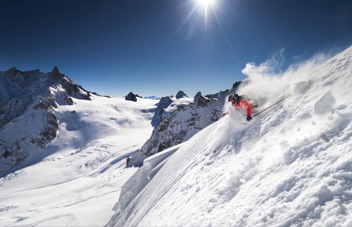
401 m away
Plan Joran Gully 1

A fun line down a narrow twisting gully
Difficult Freeride Skiing
- Distance
- 367 m
- Ascent
- 0 m
- Descent
- 123 m

A steep couloir through the forest, narrow in places
Freeride Skiing Severe

This is a great line, committing and steep. You need good snow cover to the valley floor to consider it. From the top of the Plan Joran lift follow the Marmottons Variante piste which doubles back on itself. As it passes under the cables of the access lift turn R with the cables overhead. This rapidly steepens up and is a narrow passage between the trees- it is a clearing of the old chairlift that used to lie here. You don't follow this all the way down but instead you need to traverse out L a short way down to enter the main Couloir de Jeureumaz line, that itself descends directly from the Plan Joran restaurant. In exceptional conditions you can access it that way too. Follow the main gut of the couloir, which bends to the L in its lower section, before opening out in the Chosalets beginner piste area. Diagonally R past some chalets will lead you to the cross country pistes and the access lifts where you started.
Severe
Steep skiing at 38-45 degrees. This requires very good technique and the risk of falling has serious consequences.
401 m away

A fun line down a narrow twisting gully
Difficult Freeride Skiing
474 m away

A steep, narrow couloir through the lower forest; rarely skied
Severe Freeride Skiing
522 m away

Challenging skiing down the steep scrubby shoulder beneath the Lognan telepherique cables
Severe Freeride Skiing
638 m away

A small open bowl between the trees, often bumpy but usually good fun.
Moderate Freeride Skiing
639 m away

A nice run slope with sparse trees
Moderate Freeride Skiing
758 m away

A twisting gully through the trees; often gets very bumpy in the stream-bed
Difficult Freeride Skiing
787 m away

A fun mini-adventure through the forest, with some steep drop-offs, this is particularly good in powder and windy bad vis days.
Difficult Freeride Skiing
1.4 km away

A narrow hidden bowl at 35 degrees
Difficult Freeride Skiing
1.5 km away

A good run on wide open slopes
Difficult Freeride Skiing
1.7 km away

An alternative approach to the lower Canadian Bowl; usually bumps at the top
Difficult Freeride Skiing

10 routes · Freeride Skiing

10 routes · Freeride Skiing