3.7 km away
Pointe Percée
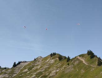
Scramble/climb up a relatively technical ascent to the top of Pointe Percée.
Extreme Hiking
- Distance
- 9.1 km
- Ascent
- 1.1 km
- Descent
- 1.1 km
Long approach for Arate climb with no need to stay overnight in the Hut.
Hiking Moderate

This is a popular hiking route which is generally considered to be moderate. It's very remote, it features low exposure and is typically done between May and September. From a low point of 1 km to the maximum altitude of 2.5 km, the route covers 10 km, 1537 vertical metres of ascent and 70 vertical metres of descent.
Long straight forward hike over moderate terrain,
Moderate
Hiking along trails with some uneven terrain and small hills. Small rocks and roots may be present.

The path is on completely flat land and potential injury is limited to falling over.

Little chance of being seen or helped in case of an accident.
3.7 km away
Scramble/climb up a relatively technical ascent to the top of Pointe Percée.
Extreme Hiking
7.6 km away
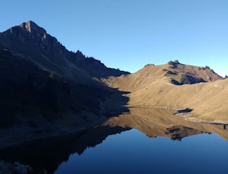
A classic lake and summit combination.
Severe Hiking