12 routes · Hiking
Balade fraicheur dans les Bauges sur les rives du Chéran
Hiking Easy

This is a popular hiking route which is generally considered to be easy. It's an unknown remoteness, it features unknown exposure and is typically done in an unknown time of year. From a low point of 431 m to the maximum altitude of 568 m, the route covers 5.9 km, 308 vertical metres of ascent and 306 vertical metres of descent.
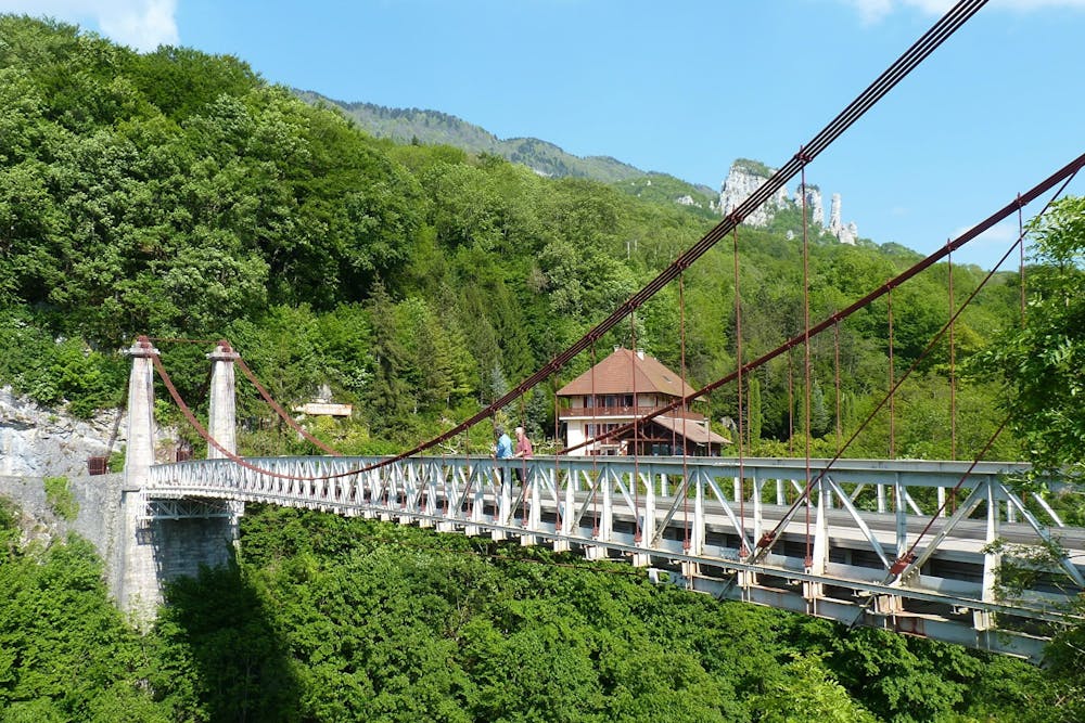
Balade fraicheur dans les Bauges sur les rives du Chéran
Easy
Walking along a well-kept trail that’s mostly flat. No obstacles are present.
12 routes · Hiking