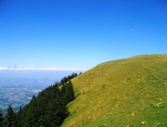
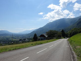
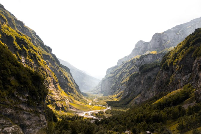
Le meilleur des Bauges
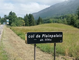
Une longue et magnifique boucle à travers, autour et au-dessus de certaines des montagnes les plus calmes de la Savoie.
Difficult Road Biking
- Distance
- 114 km
- Ascent
- 2.6 km
- Descent
- 2.6 km
Explore Bauget Alps with curated guides of the best hiking trails, and more. With over 37 3D trail maps in FATMAP, you can easily discover and navigate the best trails in Bauget Alps.
No matter what your next adventure has in store, you can find a guide on FATMAP to help you plan your next epic trip.
Get a top trail recommendation in Bauget Alps from one of our 5 guidebooks, or get inspired by the 37 local adventures uploaded by the FATMAP community. Start exploring now!
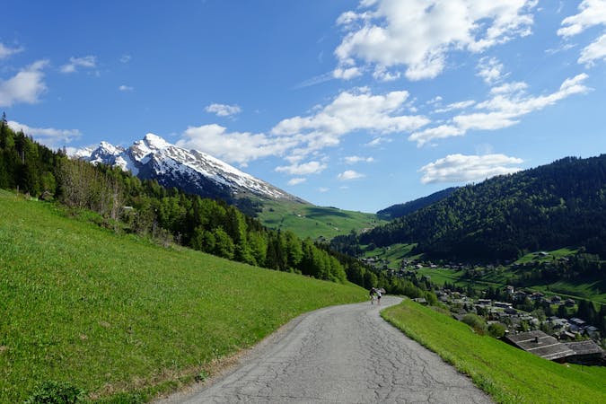
Une longue et magnifique boucle à travers, autour et au-dessus de certaines des montagnes les plus calmes de la Savoie.
Difficult Road Biking
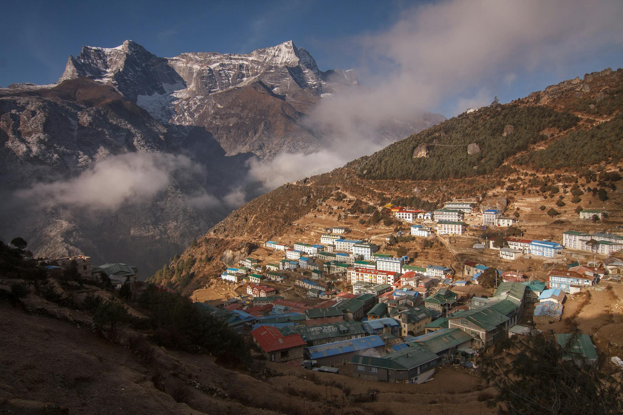
Un petit test de fitness génial qui vous récompense par une vue fabuleuse.
Difficult Road Biking
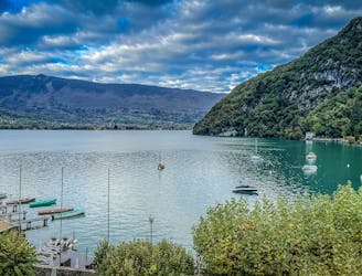
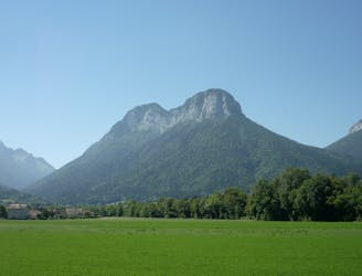
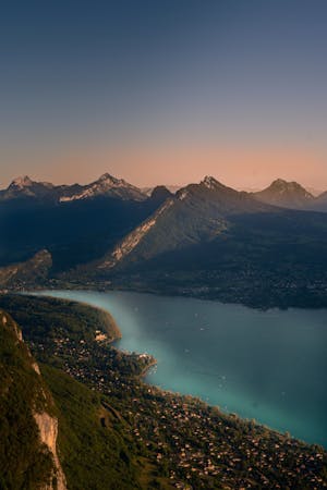
Cette randonnée à vélo relie deux des plus beaux lacs des Alpes françaises : Le lac d'Annecy et le lac du Bourget.
Moderate Road Biking
Balade familiale idéale pour profiter d'un sommet relativement plat
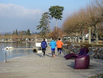
Easy Trail Running
Randonnée familiale pour découvrir le massif du Trélod par la commune de Lathuile
Moderate Trail Running
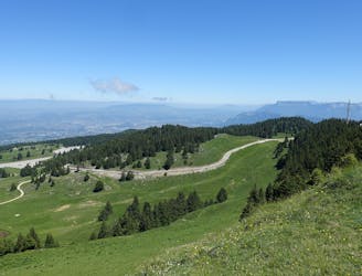
A great little fitness test which rewards you with a fabulous view
Difficult Road Biking
A long, stunning loop through, round and over some of the quietest mountains in the Savoie
Difficult Road Biking
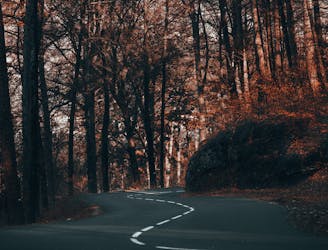
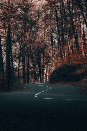
A fun loop through gorgeous forests which can be reached on foot from Annecy town centre
Moderate Trail Running
3 routes · Road Biking
15 routes · Hiking · Trail Running
4 routes · Road Biking
8 routes · Hiking
12 routes · Hiking