9.6 km away
La Tête de la Mandallaz
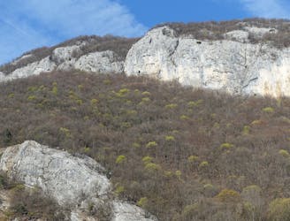
A stunning forest run to a famous summit
Difficult Trail Running
- Distance
- 13 km
- Ascent
- 614 m
- Descent
- 614 m
A fun loop through gorgeous forests which can be reached on foot from Annecy town centre
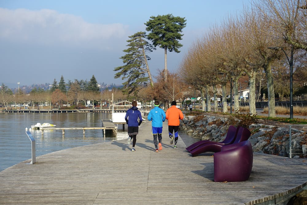
Trail Running Moderate

One of the great aspects of Annecy life is that you can quickly transition between city and forests, and this route exemplifies that perfectly. It can be started anywhere in Annecy but we've started the line from the large bridge at the eastern end of the old town.
Head south out of town and make your way to "Le belvédère", Camping Municipal d'Annecy, a popular camping spot for tourists.
Continue south into the forests and keep on pushing south until you've had enough! There is a myriad of trails on the forested ridge and when you've decided you've had enough it is easy to find a path that will lead you back to the start point. As such, consider our line shown here as an introduction to the area rather than a specific route suggestion.
The very keenest trail runners might consider running all the way to the tiny ski resort of Semnoz, which lies at the end of the ridge. The views from Semnoz are fabulous but if you do all the way to it, bear in mind that it will take you a long time to get back to Annecy...make sure you've got some energy left! We've marked a route which involves some sections of road running on the way down because this is the most efficient way down. If you'd rather avoid the road, there are plenty of opportunities to dip back into the trees and onto the trails.
Regardless of where exactly you run, beautiful forests and the occasional view across the lake to the high peaks of the Haute Savoie await.
Moderate

The path is on completely flat land and potential injury is limited to falling over.

Away from help but easily accessed.
9.6 km away
A stunning forest run to a famous summit
Difficult Trail Running