9.6 km away
Semnoz Ridge
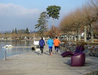
A fun loop through gorgeous forests which can be reached on foot from Annecy town centre
Moderate Trail Running
- Distance
- 15 km
- Ascent
- 619 m
- Descent
- 619 m
A stunning forest run to a famous summit
Trail Running Difficult

As you will be able to tell from looking at the plethora of trails around the Tête de la Mandallaz, there is a lot to explore in the area and this route is merely one many possible itineraries that are possible on and around the peak.
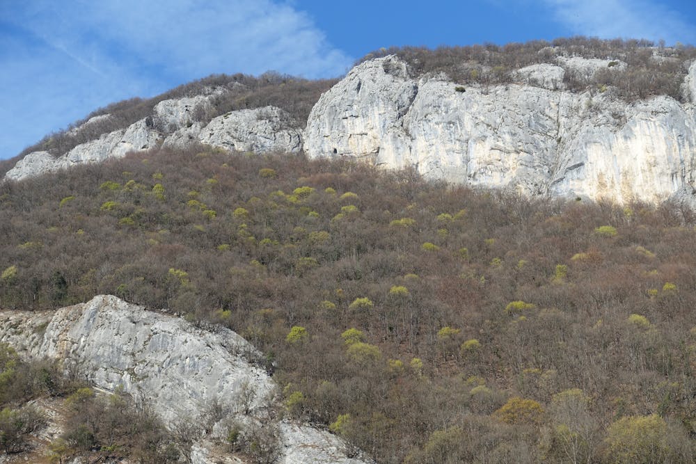
Park up next to the cemetery in the tiny village of La Balme-de-Sillingy. The run begins with a relatively gentle section of climbing vageuly eastwards into forests and this early section serves as a nice warm up. Things get tougher just after you cross through an open field, re-enter the trees and reach a junction. Turn right at the junction and begin climbing south on much steeper terrain. The path begins to bend around south-west and then makes the long climb up to the summit of the Tête de la Mandallaz itself. The initial section of the climb feels tough but once you emerge onto the mountain's summit ridge and the huge view to the south opens up, it should be (just) enough for you to forget the lactic acid in your legs and lungs!
Once on the summit, take some time to soak in the fabulous vista across Annecy, its namesake lake and the mountains of the Haute Savoie. Follow a path east off the summit and then either follow our suggested itinerary (which takes you along a gently descending path all the way) or, if time and/or energy are lacking, take the cut-out path which lies a couple of hundred metres north of the summit and follow it back to the ascent route.
Difficult

The trail contains some obstacles such as outcroppings and rock which could cause injury.
Away from help but easily accessed.
9.6 km away
A fun loop through gorgeous forests which can be reached on foot from Annecy town centre
Moderate Trail Running