0 m away
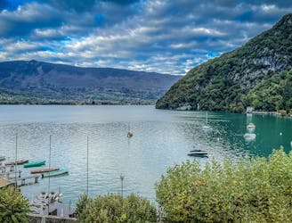
Le Semnoz depuis Annecy
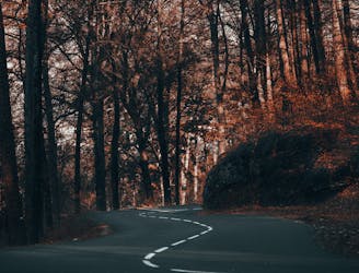
Un petit test de fitness génial qui vous récompense par une vue fabuleuse.
Difficult Road Biking
- Distance
- 32 km
- Ascent
- 1.2 km
- Descent
- 1.2 km
A great little fitness test which rewards you with a fabulous view
Road Biking Difficult

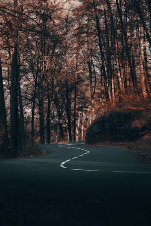
As a biker it's useful to have a few routes which you repeat regularly to test your form and fitness. If these routes involve epic scenery and quiet, winding lanes then all the better. This route ticks both boxes.
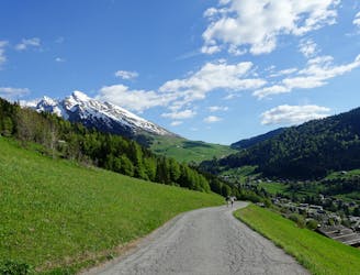
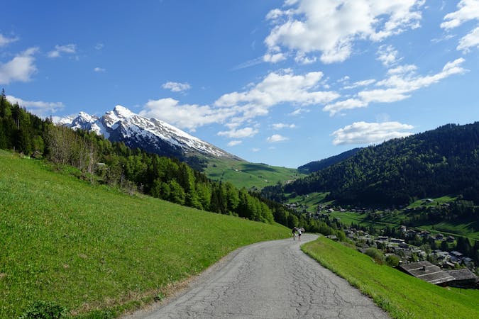
Start at the Municipal campsite south of Annecy town centre and then get stuck straight into some steep zig zags. After 5 hairpin bends the road straightens up and goes more or less due south-southwest, via a few hairpins, to the foot of Semnoz ski area's lowest chairlift. Keep the hammer down past this and finish your climb up past the Hotel Les Rochers Blanc and on to the small parking area which is the highest point which can be reached by bike. Stop your stopwatch and (because it would be a shame not to) hike up to the summit of the Crêt de Châtillon itself.
Head back to the bikes and then grab a drink on the gorgeous terrace at the hotel. The view across the to the Roc des Bouefs is fabulous. Suitably refreshed, jump back on your bike and descend back to town via the ascent route. The ride down is great fun but there are some blind bends so take care.
Difficult

Away from help but easily accessed.
0 m away
Un petit test de fitness génial qui vous récompense par une vue fabuleuse.
Difficult Road Biking
831 m away
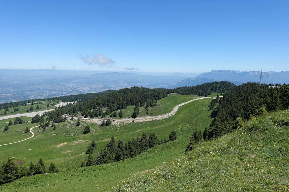
Une longue et magnifique boucle à travers, autour et au-dessus de certaines des montagnes les plus calmes de la Savoie.
Difficult Road Biking
831 m away
A long, stunning loop through, round and over some of the quietest mountains in the Savoie
Difficult Road Biking
864 m away
Cette randonnée à vélo relie deux des plus beaux lacs des Alpes françaises : Le lac d'Annecy et le lac du Bourget.
Moderate Road Biking
1.7 km away
An incredible tour through some of the most beautiful villages in the Haute Savoie
Difficult Road Biking
1.7 km away
Un circuit incroyable à travers quelques-uns des plus beaux villages de Haute-Savoie
Difficult Road Biking
3 routes · Road Biking
4 routes · Road Biking