France winter - Haute-Savoie - Pointe de Miribel
Thonon-les-Bains
Pointe de Miribel - Départ depuis Ajon
Hiking Moderate
- Distance
- 1.4 km
- Ascent
- 124 m
- Descent
- 156 m
- Duration
- 0-1 hrs
- Low Point
- 1.4 km
- High Point
- 1.6 km
- Gradient
- 12˚

This is a popular hiking route which is generally considered to be moderate. It's not remote, it features medium exposure and is typically done all year round. From a low point of 1.4 km to the maximum altitude of 1.6 km, the route covers 1.4 km, 124 vertical metres of ascent and 156 vertical metres of descent.
- •
- •
- •
- •
- •
- •
Description
Pointe de Miribel - Départ depuis Ajon
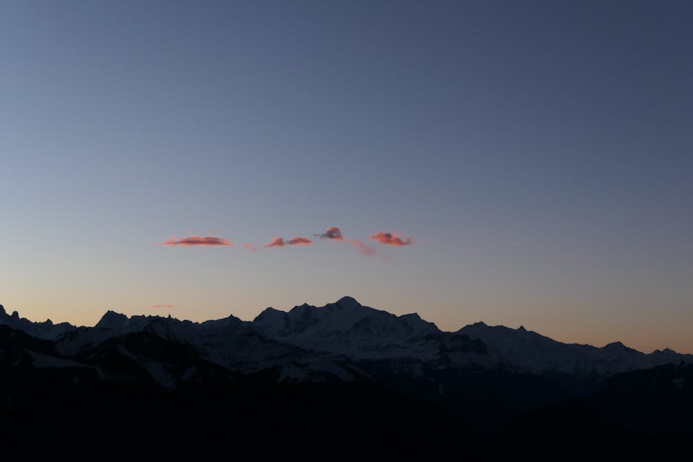
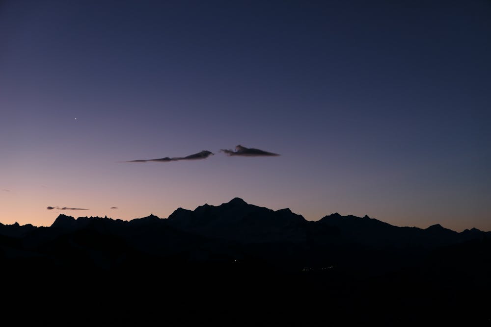
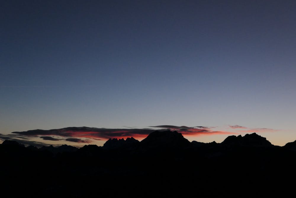
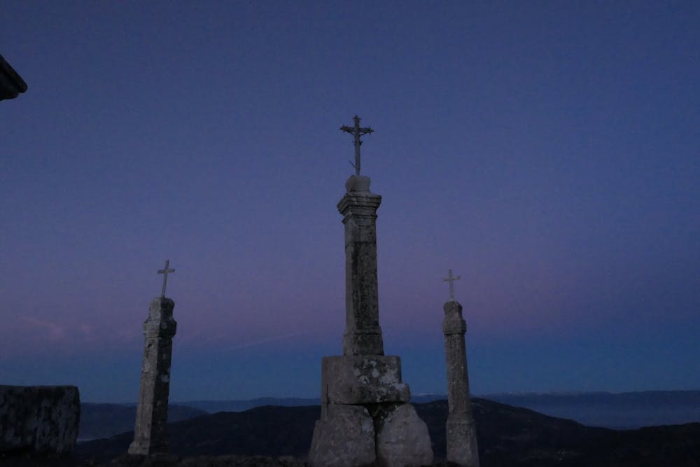
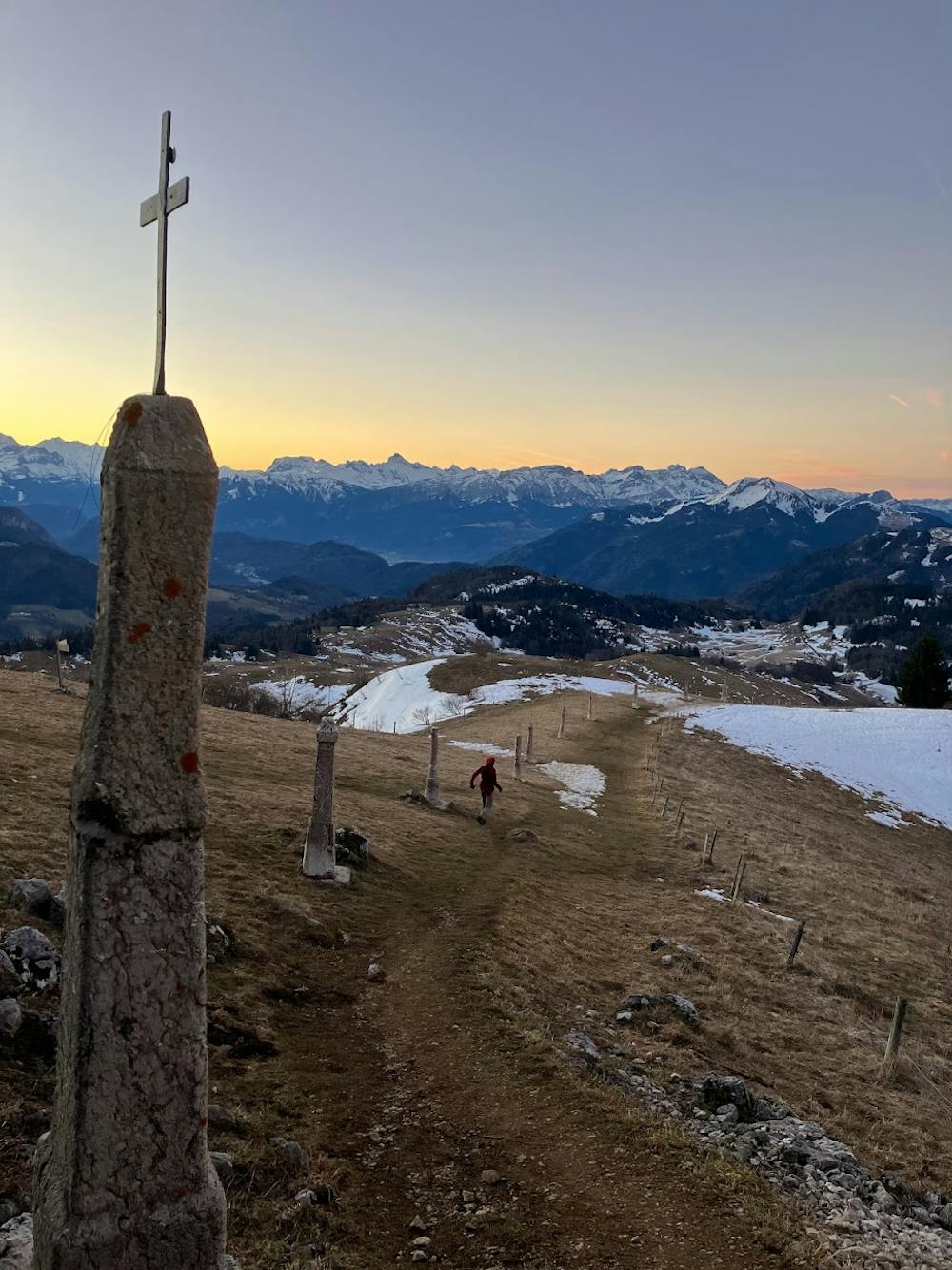
Short hike from Ajon to reach Pointe de Miribel. Here you have a good view on the Mont Blanc massif.
Note: Longer route is possible, start at Plaine-Joux.
Difficulty
Moderate
Hiking along trails with some uneven terrain and small hills. Small rocks and roots may be present.
Medium Exposure

The trail contains some obstacles such as outcroppings and rock which could cause injury.
Remoteness

Close to help in case of emergency.
Best time to visit
Features
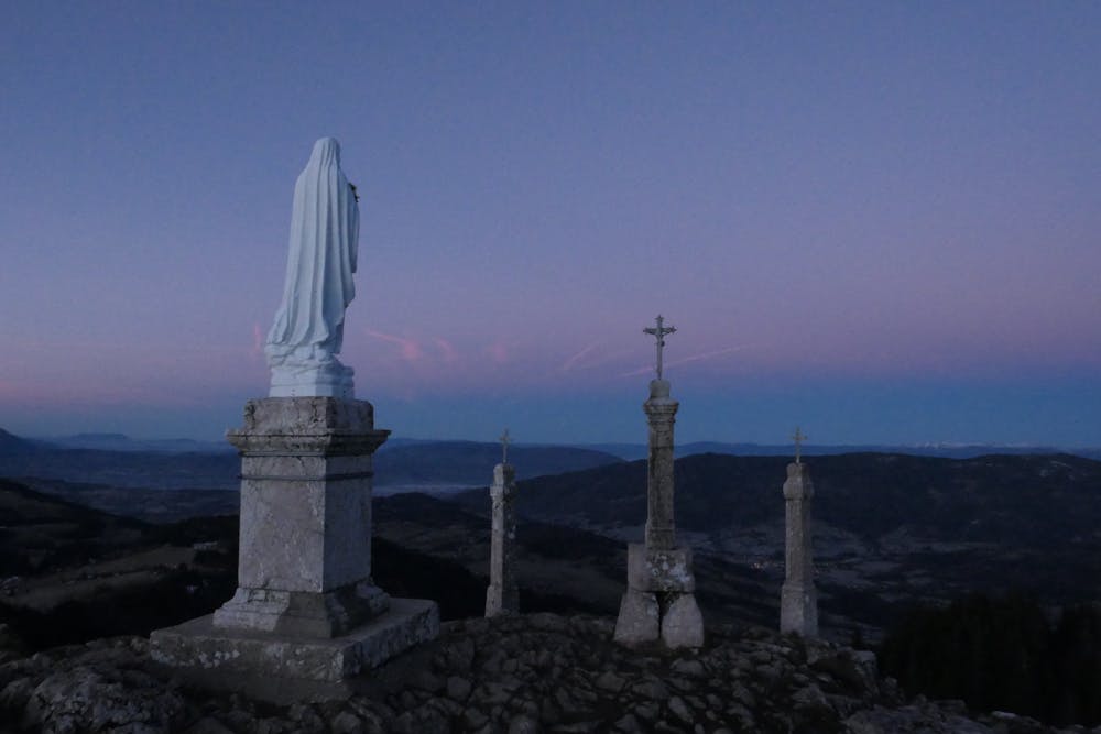
- Historical
- Picturesque
- Summit Hike
- Dog friendly
- Family friendly