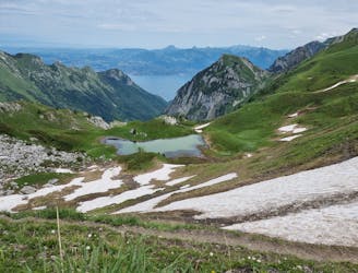
Trans'alpes

The HRP of the Alpes across France, Switzerland and Italie
Difficult Hiking
- Distance
- 580 km
- Ascent
- 36 km
- Descent
- 37 km
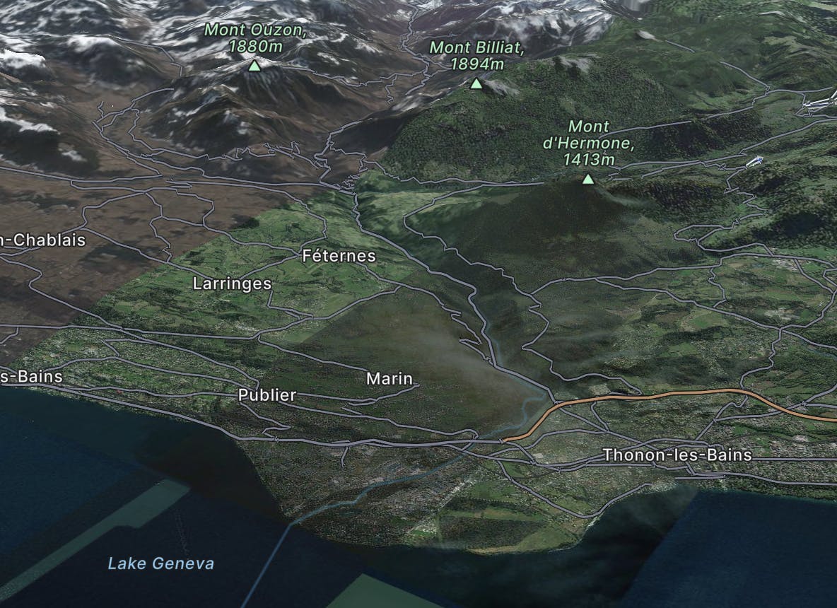
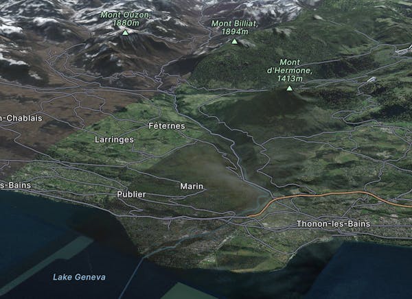
Explore Thonon-les-Bains with curated guides of the best hiking trails, and more. With over 9 3D trail maps in FATMAP, you can easily discover and navigate the best trails in Thonon-les-Bains.
No matter what your next adventure has in store, you can find a guide on FATMAP to help you plan your next epic trip.
Get a top trail recommendation in Thonon-les-Bains, or get inspired by the 9 local adventures uploaded by the FATMAP community. Start exploring now!
The HRP of the Alpes across France, Switzerland and Italie
Difficult Hiking
Pointe de Miribel - Départ depuis Ajon
Moderate Hiking

La Chapelle d'Abondance - Tour de la point de Lachau - Pointe d'Autigny - Vacheresse
Difficult Ski Touring

Dent du Vélan et Cornettes de Bise
Difficult Hiking
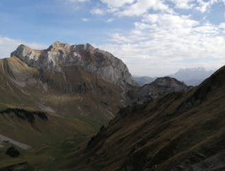
Beautiful itinerary through forests and pastures.
Difficult Trail Running

Traverse of the French Alps oin opposite direction
Difficult Hiking

Trekking over the French Alps from the Geneva Lake to Mediterrian
Difficult Hiking
bouquetins fréquents aux environ des chalets de Neuteu
Moderate Hiking