Bise-Darbon loop
Thonon-les-Bains
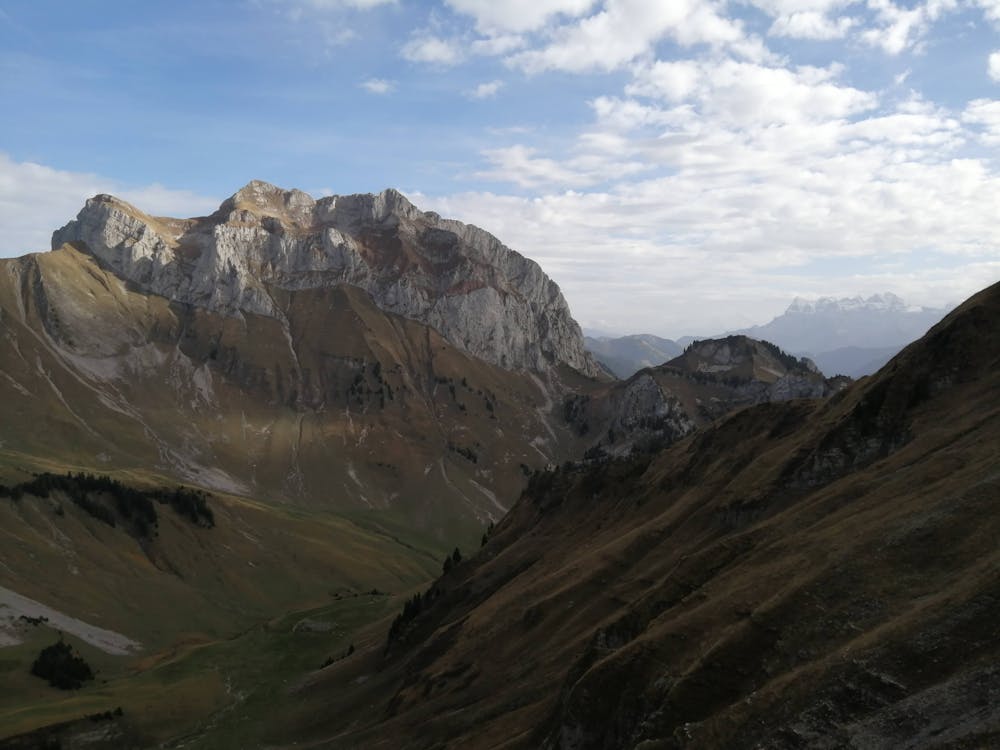
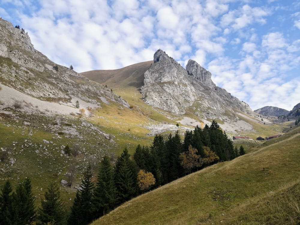
Beautiful itinerary through forests and pastures.
Trail Running Difficult
- Distance
- 17 km
- Ascent
- 1.2 km
- Descent
- 1.2 km
- Duration
- 3-4 hrs
- Low Point
- 880 m
- High Point
- 2 km
- Gradient
- 16˚

This is a popular trail running route which is generally considered to be difficult. It's remote, it features medium exposure and is typically done between May and October. From a low point of 880 m to the maximum altitude of 2 km, the route covers 17 km, 1156 vertical metres of ascent and 1156 vertical metres of descent.
- •
- •
- •
Description
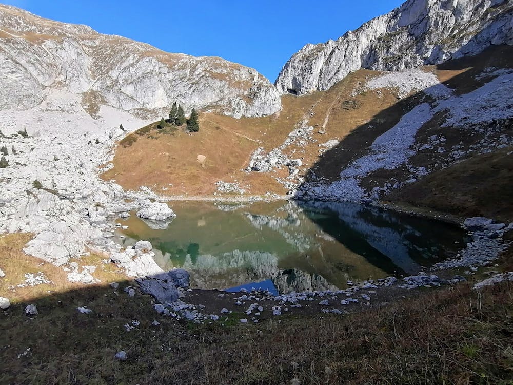
Going through the forest and pastures, passing by the lake Darbon and Bise.
Difficulty
Difficult
Medium Exposure

The trail contains some obstacles such as outcroppings and rock which could cause injury.
Remoteness
Away from help but easily accessed.