2.2 km away
Pointe Percée
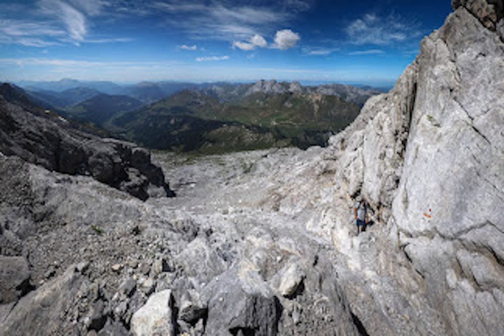
Scramble/climb up a relatively technical ascent to the top of Pointe Percée.
Extreme Hiking
- Distance
- 9.1 km
- Ascent
- 1.1 km
- Descent
- 1.1 km
amazing hike to Les Aravis' highest peak
Hiking Severe

This is a popular hiking route which is generally considered to be severe. It's remote, it features high exposure and is typically done between June and October. From a low point of 1.3 km to the maximum altitude of 2.7 km, the route covers 15 km, 1485 vertical metres of ascent and 1478 vertical metres of descent.
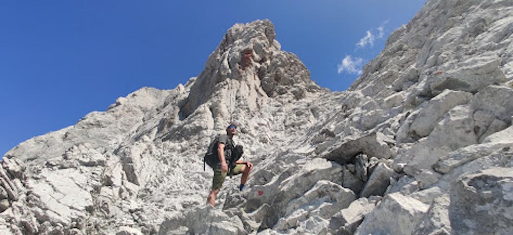
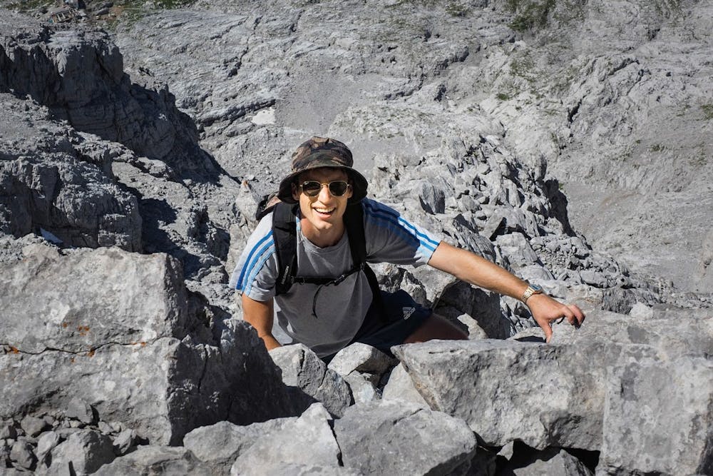
Easy hike until Gramusset Refuge, then requires a bit of climbing. Make sure to follow the red dots on the rocks for the easiest and safest route.
Severe
Hiking challenging trails where simple scrambling, with the occasional use of the hands, is a distinct possibility. The trails are often filled with all manner of obstacles both small and large, and the hills are very steep. Obstacles and challenges are often unexpected and can be unpredictable.

Some trail sections have exposed ledges or steep ascents/descents where falling could cause serious injury.

Away from help but easily accessed.
2.2 km away
Scramble/climb up a relatively technical ascent to the top of Pointe Percée.
Extreme Hiking
5.7 km away
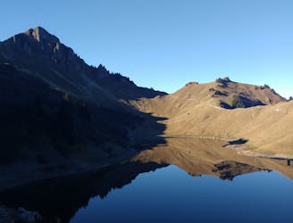
A classic lake and summit combination.
Severe Hiking