3.6 km away
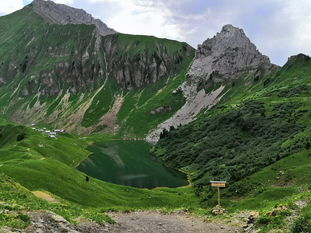
Aiguille Verte et lac de Lessy
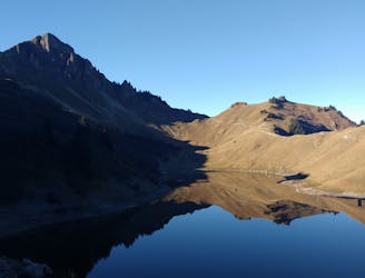
A classic lake and summit combination.
Severe Hiking
- Distance
- 13 km
- Ascent
- 1.1 km
- Descent
- 1.1 km
Lac de lessy and Aiguille verte from the parking of paradis
Hiking Moderate

This is a popular hiking route which is generally considered to be moderate. It's remote, it features medium exposure and is typically done between June and October. From a low point of 1.3 km to the maximum altitude of 2 km, the route covers 12 km, 793 vertical metres of ascent and 793 vertical metres of descent.
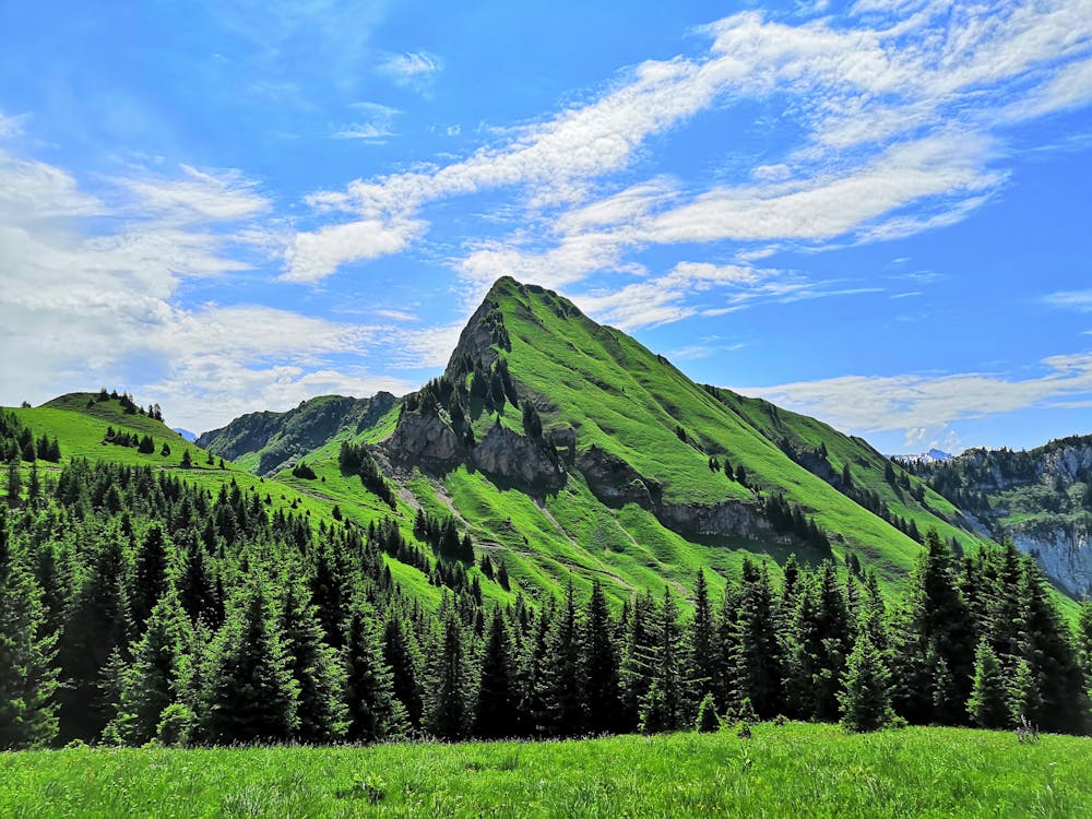
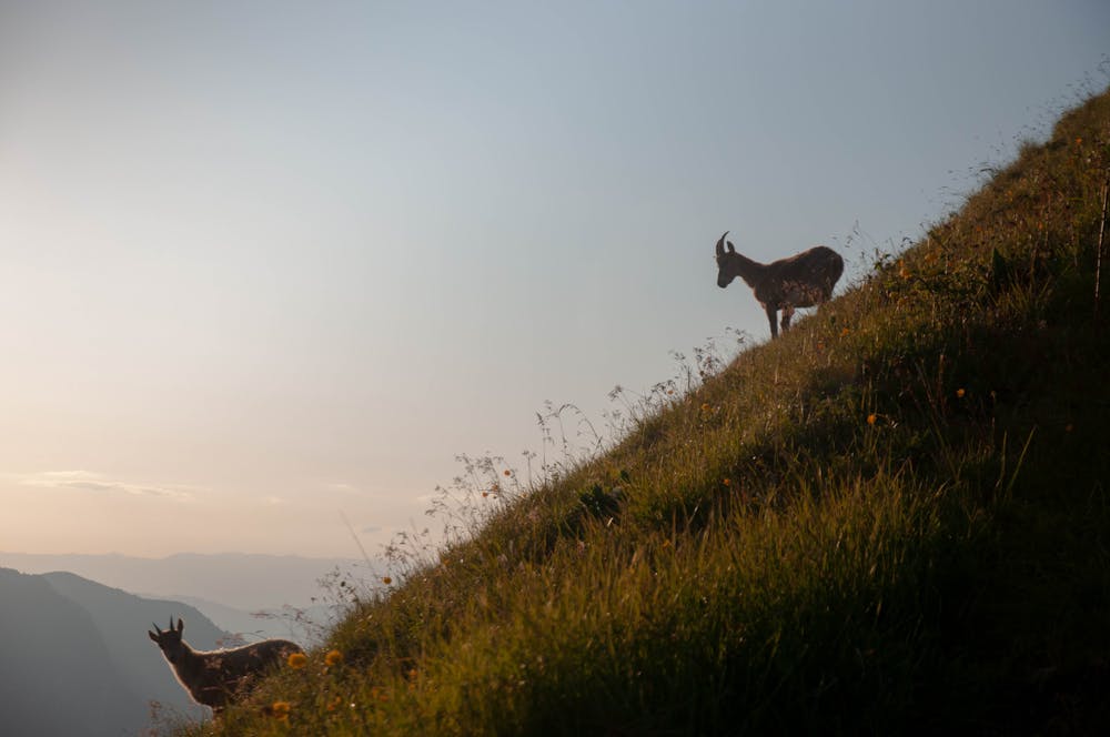
Going throught a forest and a scree, high chance of seeing chamois (especially in the early morning or the evening) and beautiful view on the top of the Aiguille Verte. The scree is relatively flat but its is followed by a bit steep climb with a ladder that can totally be avoid.
Moderate
Hiking along trails with some uneven terrain and small hills. Small rocks and roots may be present.

The trail contains some obstacles such as outcroppings and rock which could cause injury.
Away from help but easily accessed.
3.6 km away
A classic lake and summit combination.
Severe Hiking
8.8 km away
Scramble/climb up a relatively technical ascent to the top of Pointe Percée.
Extreme Hiking