6.6 km away
Monts Veyrier and Baron Traverse
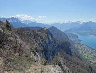
A classic ridge traverse along 2 prominent and famous peaks.
Difficult Hiking
- Distance
- 12 km
- Ascent
- 1 km
- Descent
- 1 km
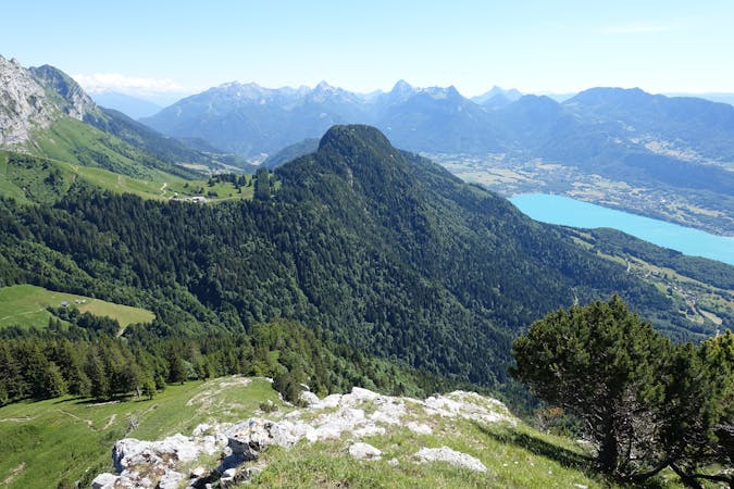
Here you can find the fantastic views, specially view on top La Tournette and behind the massif of Mont Blanc and the chain of the Aravis.
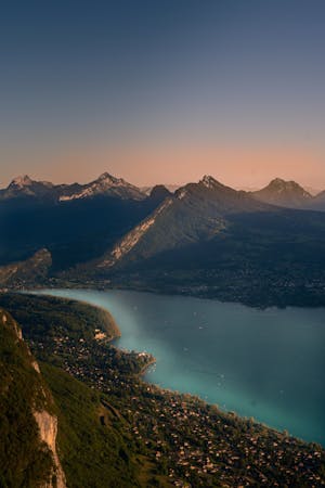
Hiking Moderate

This is a popular hiking route which is generally considered to be moderate. It's an unknown remoteness, it features unknown exposure and is typically done in an unknown time of year. From a low point of 446 m to the maximum altitude of 1.7 km, the route covers 31 km, 1430 vertical metres of ascent and 1402 vertical metres of descent.

Moderate
Hiking along trails with some uneven terrain and small hills. Small rocks and roots may be present.
6.6 km away
A classic ridge traverse along 2 prominent and famous peaks.
Difficult Hiking
9.2 km away
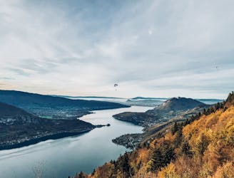
La vue mythique qu'offre ce col a une autre saveur lorsque que l'on vient d'en bas
Moderate Hiking
1 routes · Hiking
15 routes · Hiking · Trail Running