2.4 km away
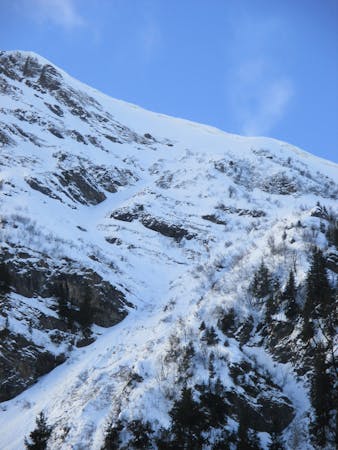
Tête de Bostan
A long popular classic of the Chablais with an adventurous mellow descent.
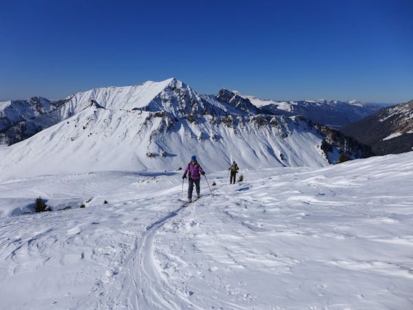
Moderate Ski Touring
- Distance
- 15 km
- Ascent
- 1.4 km
- Descent
- 1.4 km
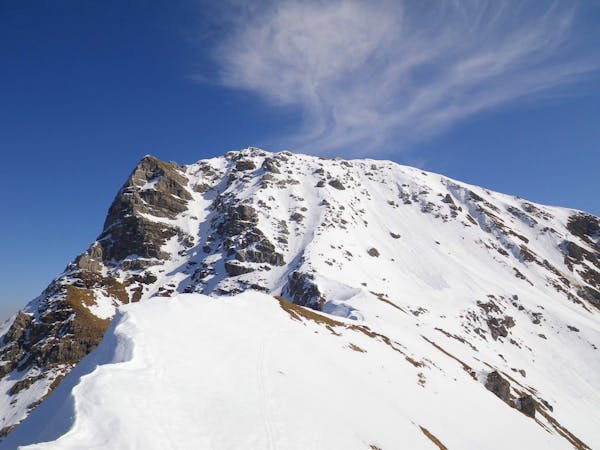
Easy ascent with great views of Mont Blanc at the top, descent through open terrain.
Ski Touring Moderate

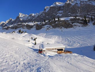
Starting at Erigne (where there is some parking and also a bus to and from Morzine) take the usually pisted track up towards the Lac de Mines d'Or, keep right at the first turn and follow the river, cross the bridge and make your way up along the track through the trees. When you reach open terrain head for the first chalet and then continue up towards the second chalet, crossing the small gully and then on up to the Col. The final ascent to the Refuge de la Golese is overhung by steeper terrain so be aware of snow conditions. Descending pick your line through the open terrain before rejoining the snow-track back to the bridge.
Moderate
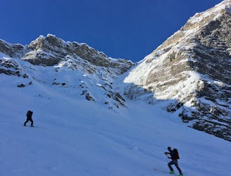
Slopes become slightly steeper at around 25-30 degrees.

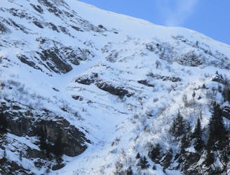
As well as the slope itself, there are some obstacles (such as rock outcrops) which could aggravate injury.

Little chance of being seen or helped in case of an accident.
2.4 km away
A long popular classic of the Chablais with an adventurous mellow descent.
Moderate Ski Touring
4.6 km away
A secluded summit squeezed between Morzine and Avoriaz with a steep ascent and short but beautiful descent requiring good snow cover to be worthwhile.
Difficult Ski Touring
6.5 km away
A stunning steep and committing line that's rarely in condition, this route offers some very technical skiing.
Extreme Ski Touring
8 routes · Ski Touring
9 routes · Freeride Skiing · Ski Touring
3 routes · Ski Touring