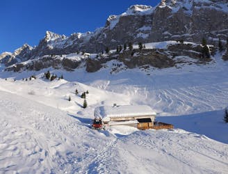

2.3 km away
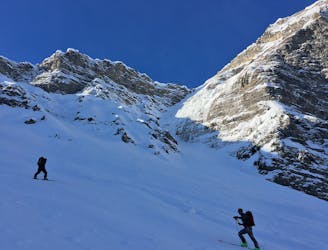
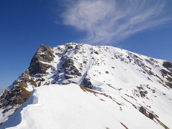
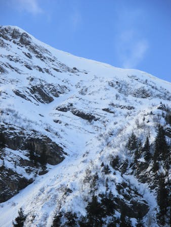
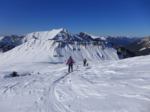
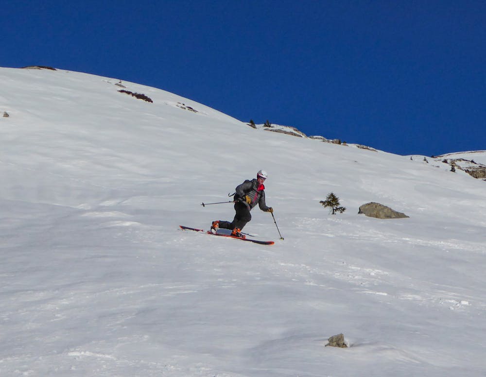
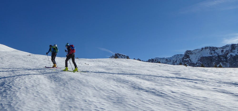
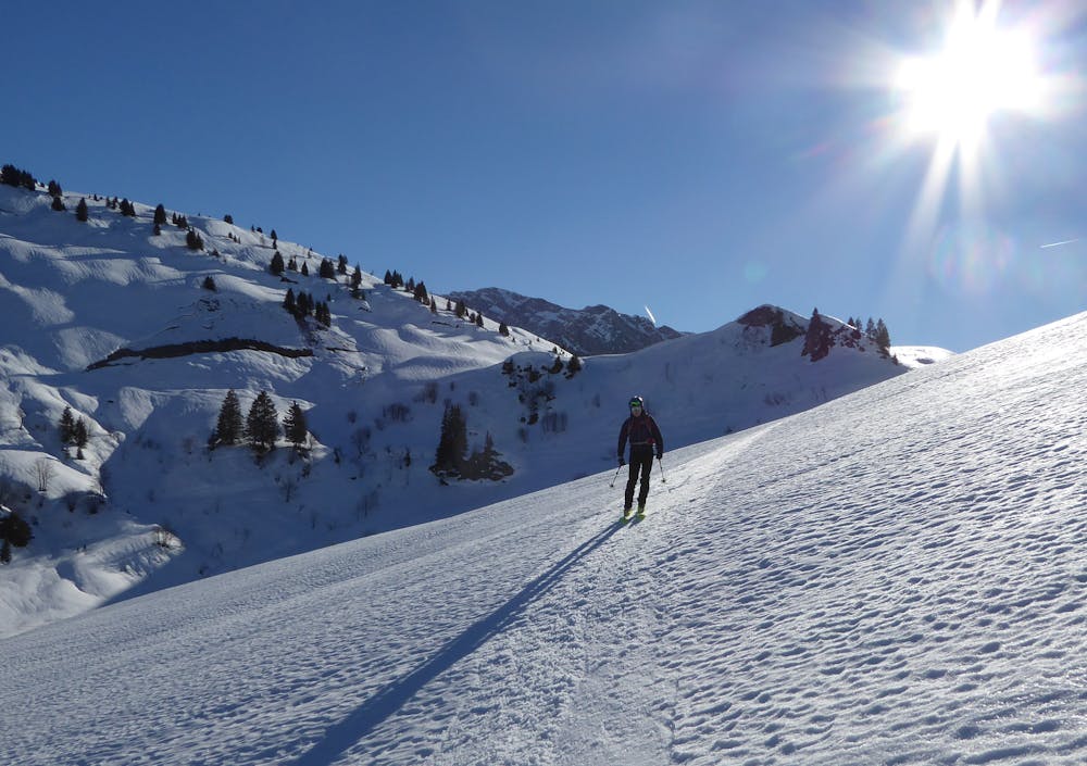
Pointe de Ressachaux: West Side
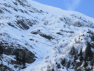
A secluded summit squeezed between Morzine and Avoriaz with a steep ascent and short but beautiful descent requiring good snow cover to be worthwhile.
Difficult Ski Touring
- Distance
- 3 km
- Ascent
- 56 m
- Descent
- 1.2 km