6.1 km away
Pointe d'Andey - A Hidden Gem in the Haute Savoie
An easy, accessible and safe ski tour - perfect for beginners
Moderate Ski Touring
- Distance
- 5.7 km
- Ascent
- 860 m
- Descent
- 863 m
A fun classic in the Chablais with a bit of novelty value
Ski Touring Moderate

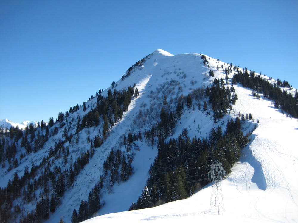
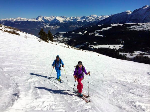
A unique ski touring peak with novelty value and a great viewpoint. It is very prominent on the road between Cluses and Annemasse and in a good winter you can see tracks on it from your car! The Môle is on the fringes of the Chablais but stands entirely on it’s own. A lot of the view looks down on a more built up landscape of the Haute Savoie, and over to Switzerland, but this gives contrast and adds to the experience. In summer it is a popular walking peak and also gets biked around. In winter it needs a good snowfall with sustained cold temperatures (due to its relatively low altitude) to be skiable.
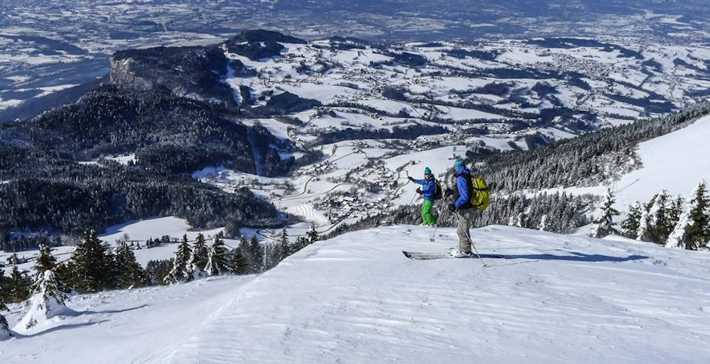
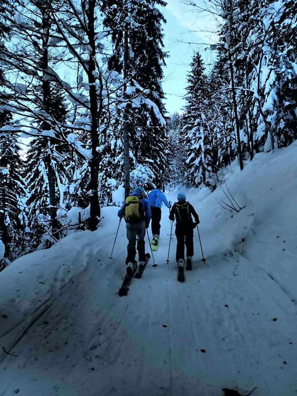
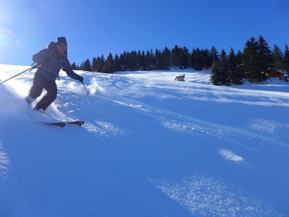
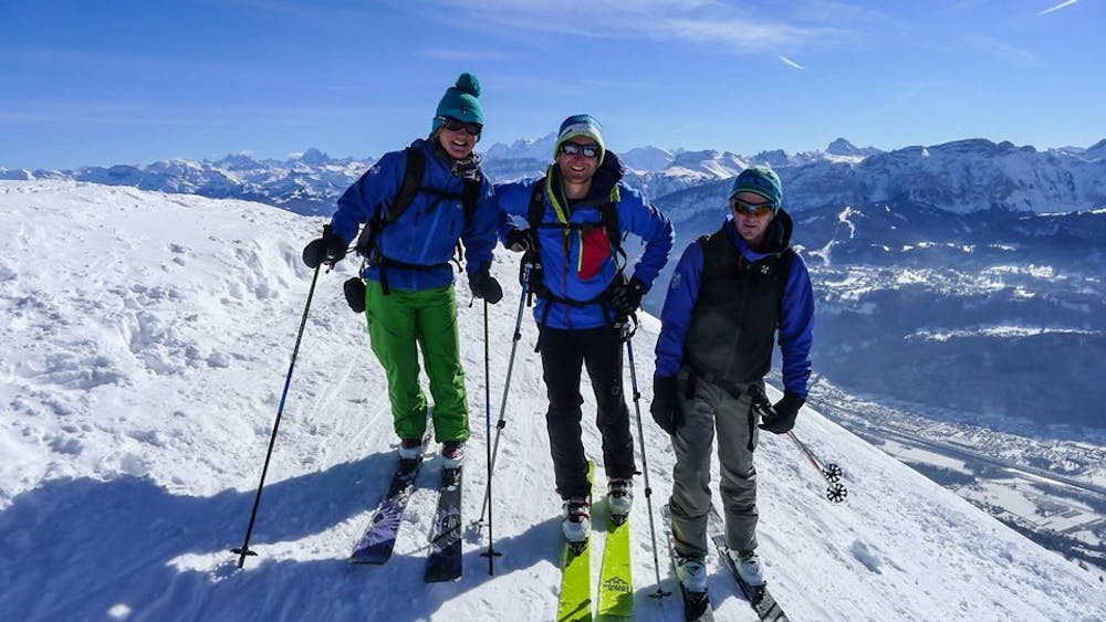
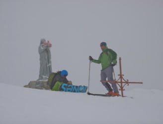
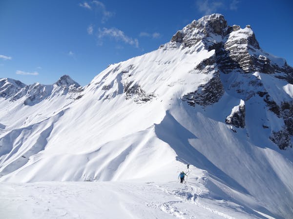
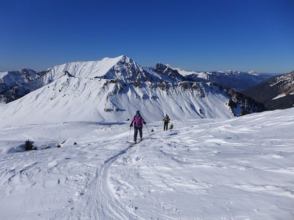
From the parking at Chez Béroud follow the wide track in the forest towards the Petit Môle taking a very obvious right branch at La Bossenaz. After clearing the treeline there is a good flattening beyond the Petit Môle to have a break and enjoy the view. The terrain above is steeper and more sustained and it is a good idea to carry couteau (ski crampons) if the snow is firm (as it often is due to its south west facing nature). After a few kick turns you will reach the first summit and the cross, then shuffle down, across and up to the true summit which is a couple of metres higher. Enjoy the magnificent views towards the Chablais, Aravis and Mont Blanc Massif and prepare to ski down.
Ski down the ridge which broadens and you come to the tree line. A few turns through nicely spaced trees take you to easier terrain, a broad flat col and a nearby electricity pylon. Put your skins back on for the short ascent to the Tête de l’Écutieux. From here ski down the broad ridge to shortly gain some beautiful north facing meadows. Enjoy the fun mellow terrain passing a few buildings on the way until you reach the treeline. From here a short amount of combat through the bushes and trees takes you to a wide track. Luckily this track has a slight gradient to it and will take you round to join the road below the parking. From here walk or hitch up the road back to your car.
Moderate
Slopes become slightly steeper at around 25-30 degrees.

Exposure is limited to that of the slope itself. Getting hurt is still likely if the slope is steep and/or the snow is hard.

Away from help but easily accessed.
6.1 km away
An easy, accessible and safe ski tour - perfect for beginners
Moderate Ski Touring
7 routes · Ski Touring
5 routes · Ski Touring
10 routes · Ski Touring
3 routes · Ski Touring