4.7 km away
Aiguillette des Houches / Pointe de Lapaz
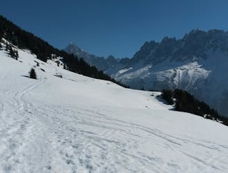
Technical snowshoeing route that offers a panoramic view of Chamonix.
Difficult Snow Shoeing
- Distance
- 11 km
- Ascent
- 992 m
- Descent
- 992 m
This idyllic snowshoe route follows the locals' favourite summer hiking trail
Snow Shoeing Easy

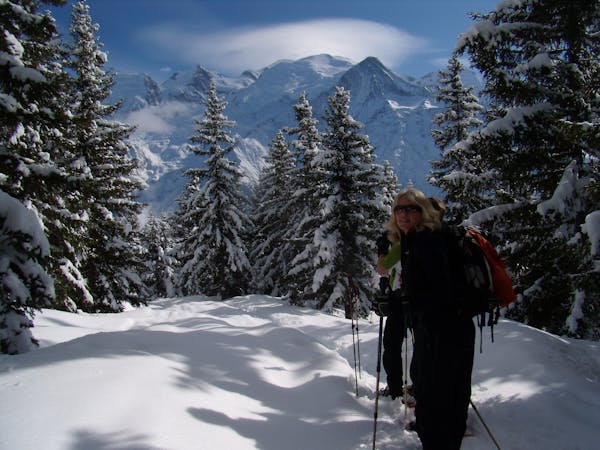
This fantastic snowshoe trail has views directly facing the Mont Blanc Massif which only get better the higher you climb. This itinerary is of moderate difficulty and takes on average 1 hour 45 with 200 meters of elevation gain and loss. This trail has long been a favourite amongst the Servoz locals and you certainly won't find the throngs of tourists crowding the more well known Chamonix trails.
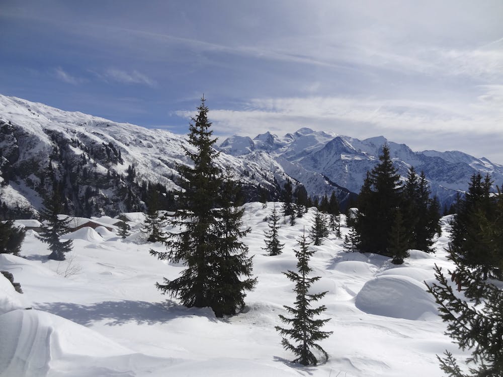
Starting from the car park at the top of the La Côte hamlet at 1050 meters elevation, follow signs for Lac Vert. It is possible to extend the route by going all the way to Plaine Joux and back.
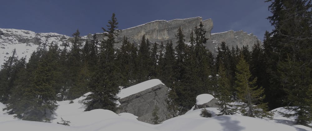
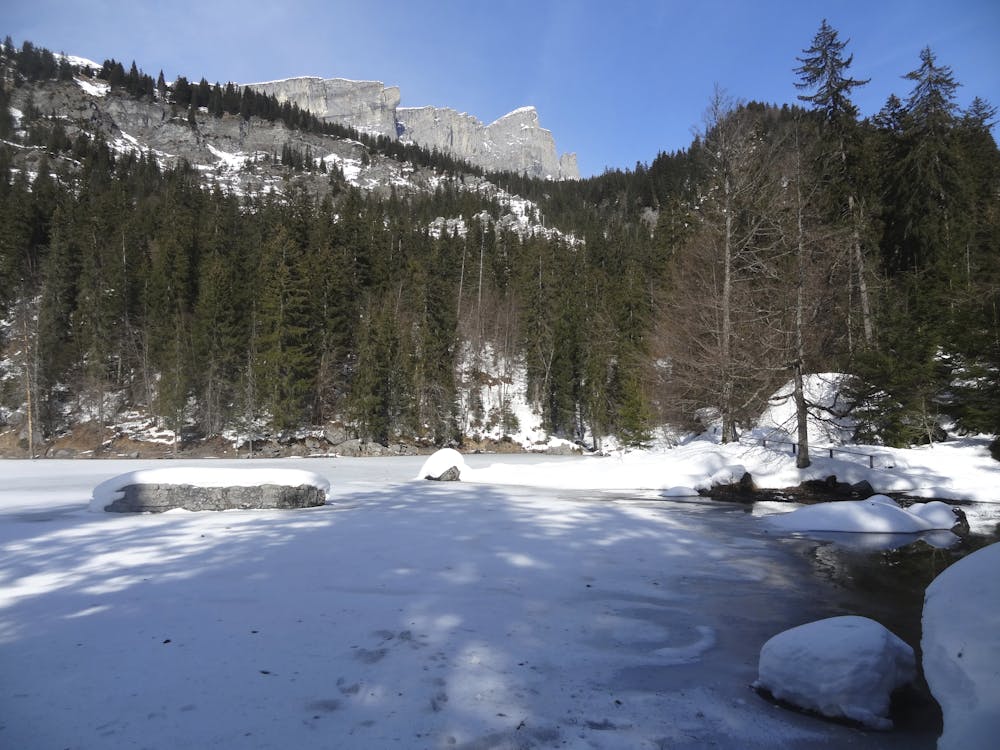
It is worthwhile taking in the full loop around the lake for the views. The Lac Vert was formed as a result of rockfall from Le Derochoir and is a popular fishing spot in summer.
Easy
4.7 km away
Technical snowshoeing route that offers a panoramic view of Chamonix.
Difficult Snow Shoeing
3 routes · Snow Shoeing