1.6 km away
Semnoz Ridge
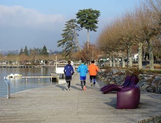
A fun loop through gorgeous forests which can be reached on foot from Annecy town centre
Moderate Trail Running
- Distance
- 15 km
- Ascent
- 619 m
- Descent
- 619 m
A loop around lake Annecy with a foray into the Bauges Mountains
Trail Running Severe

This is a popular trail running route which is generally considered to be severe. It's remote, it features high exposure and is typically done between May and October. From a low point of 445 m to the maximum altitude of 1.7 km, the route covers 114 km, 6586 vertical metres of ascent and 6585 vertical metres of descent.
The route of the 2019 Annecy Maxi Race ultra-distance
Severe

Some trail sections have exposed ledges or steep ascents/descents where falling could cause serious injury.

Away from help but easily accessed.
1.6 km away
A fun loop through gorgeous forests which can be reached on foot from Annecy town centre
Moderate Trail Running