25 m away
Kv du Mont-Blanc

le kilomètre vertical de Chamonix
Difficult Trail Running
- Distance
- 3.9 km
- Ascent
- 1 km
- Descent
- 0 m
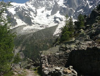
The historic Grands Mulets route starting on the French side of the mountain at the church square in Chamonix
Trail Running Extreme

In July 2013, I set the fastest known time for the full ascent and descent of the Mont Blanc.
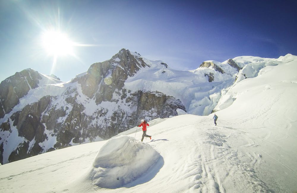
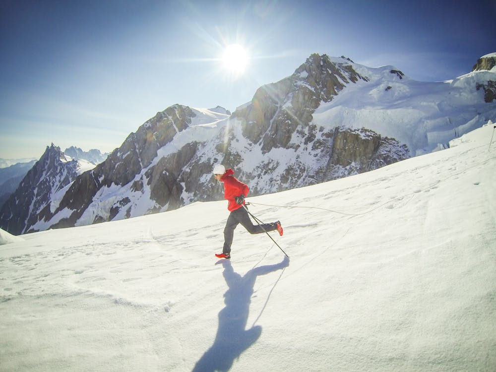
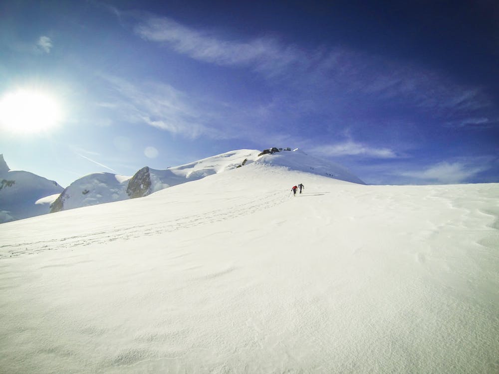
This route, the historic Grands Mulets, covered a total of 28.4km and started on the French side of the mountain at the church square in Chamonix.
It ascends to the west of the Bosson Glacier and the well-known trail "La Jonction" trail, followed by the route to the Grands Mulets refuge, before arriving on the Petit and Grand Plateau and the steep climb to the Bosses Ridge, past the Valot refuge and eventually to the summit of Mont Blanc at 4810m.
I made the summit in an incredible time of 3 hours 33 minutes.
On the descent, followed the same route and reached the church square in Chamonix with a final time of 4 hours and 57 minutes, breaking the record of 5 hours 11 minutes that was set in 1990 by Pierre-André Gobet.
Check out the full story on the ‘Déjame Vivir’ documentary film here: https://bit.ly/dvenglish
Extreme

The trail contains some obstacles such as outcroppings and rock which could cause injury.
Away from help but easily accessed.
25 m away
le kilomètre vertical de Chamonix
Difficult Trail Running
41 m away

Epreuve reine de l'événement
Severe Trail Running
53 m away

La course nocturne en binome
Difficult Trail Running
60 m away

La plus longue coure du Marathon
Extreme Trail Running
218 m away
An amazing way to see some of the best view in Chamonix on foot.
Moderate Trail Running
716 m away

A classic loop around the Chamonix Valley.
Easy Trail Running
861 m away

La course format 10k de l'événement
Moderate Trail Running
881 m away

le cross du Mont-blanc
Difficult Trail Running
894 m away

Le mini cross est un petit trail pour les plus jeunes, de 800m à 3km en fonction des catégories.
Easy Trail Running
919 m away
Enjoy the open vistas of the north balcony between Montenvers and Plan de l'Aiguille on vintage Chamonix trails.
Moderate Trail Running

8 routes · Trail Running