7.7 km away
Kv du Mont-Blanc

le kilomètre vertical de Chamonix
Difficult Trail Running
- Distance
- 3.9 km
- Ascent
- 1 km
- Descent
- 0 m

There's life beyond the South and North Balcony trails—explore this amazing loop!
Trail Running Severe

Tired of Chamonix's busy and relatively-easy trails? Then this route is for you! On this loop, you'll follow technical and sometimes barely-there trails around the Diosaz valley.
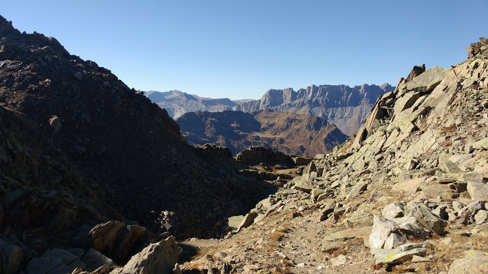
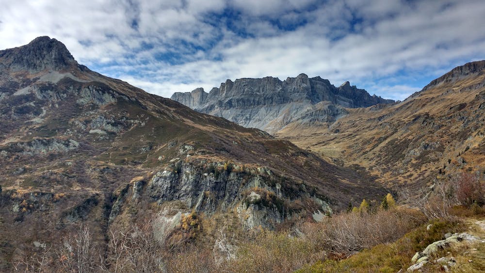
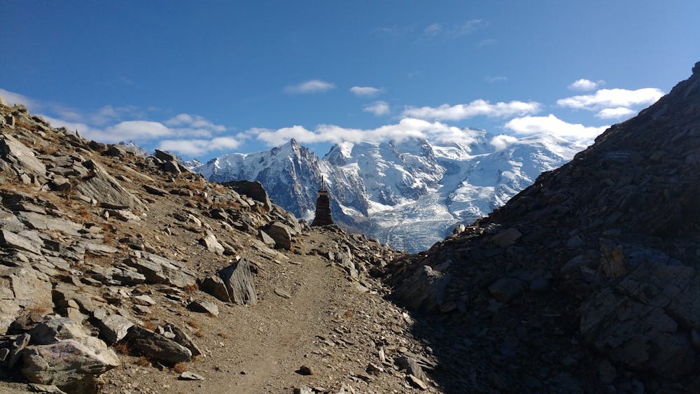
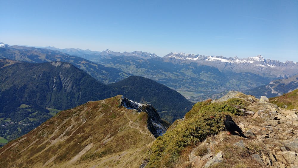
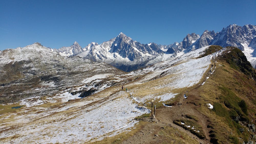
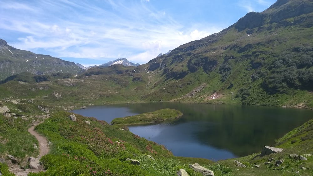
Starting from Servoz reduces the time spent on "boring" trails and allows for a nice loop. However, you won't have any opportunities to shorten the itinerary.
After following and crossing a low traffic road for a while, you'll quickly reach the path that will bring you to Aiguillette des Houches via the ridgeline. It's a steep but mostly unexposed trail (except for a few meters around altitude 2241m) that can be brutal in the summer heat.
From the small col, an easy but technical descent takes you through the Carlaveyron reserve to Bellachat, where you'll begin the rocky ascent towards Brévent. Pace yourself: the summit looks closer than it actually is. At the top, don't forget to check out the orientation table and the accompanying information panels, where you'll learn quite a bit about the peaks' names and how the area evolved.
When you're ready to continue, follow the ski piste, then the trail, until you reach Col du Brevent. Take a last look at Mont-Blanc before commencing the long and technical descent towards the river crossing at Arlevé. Every 3 years this trail serves as the course of the Trail des Aiguilles Rouges.
From there, you'll still need to deal with a gentle but long climb in order to reach the refuge. It's a good idea to stop a moment at the refuge, if only to enjoy the view. Don't be fooled by the fact that it's mostly downhill from there. You still have a long way to go until Servoz...
After a short climb to Pormenaz lake, you'll still need to deal with a flattish section below the Pormenaz ridge before finally being able to start the 1100m descent. Perhaps the idea of being close to the end will give you a shot of energy, but be careful: the trail is demanding, especially when you're tired.
The last section of the route will have you cross the town of Servoz, but after a day on technical trails, you may not mind running a bit on pavement.
Severe
7.7 km away

le kilomètre vertical de Chamonix
Difficult Trail Running
7.7 km away

Epreuve reine de l'événement
Severe Trail Running
7.8 km away

La course nocturne en binome
Difficult Trail Running
7.8 km away

La plus longue coure du Marathon
Extreme Trail Running
7.9 km away
An amazing way to see some of the best view in Chamonix on foot.
Moderate Trail Running
8 km away
A classic loop around the Chamonix Valley.
Easy Trail Running
8.3 km away

Le mini cross est un petit trail pour les plus jeunes, de 800m à 3km en fonction des catégories.
Easy Trail Running
8.3 km away

La course format 10k de l'événement
Moderate Trail Running
8.3 km away

le cross du Mont-blanc
Difficult Trail Running
8.4 km away
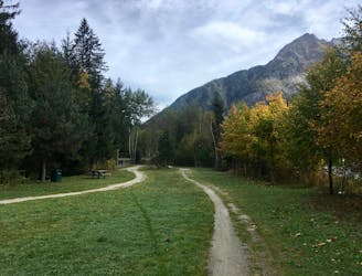
The easiest trail run in Chamonix.
Easy Trail Running
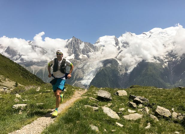
8 routes · Trail Running