81 m away
23 Km du Mont-blanc

le cross du Mont-blanc
Difficult Trail Running
- Distance
- 24 km
- Ascent
- 1.7 km
- Descent
- 733 m
The easiest trail run in Chamonix.
Trail Running Easy

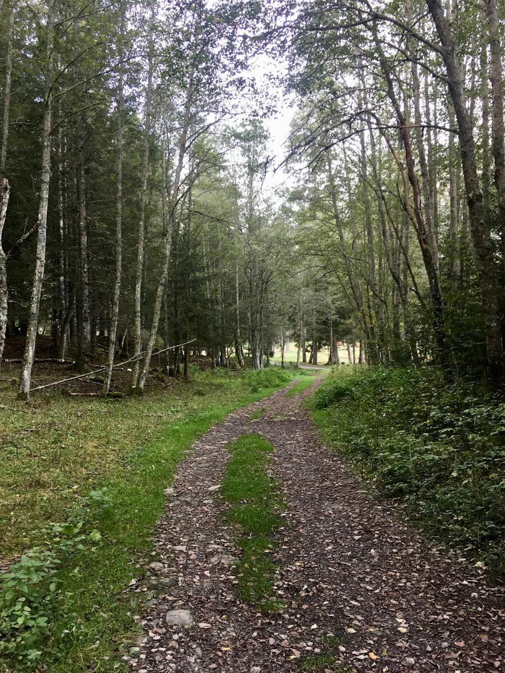
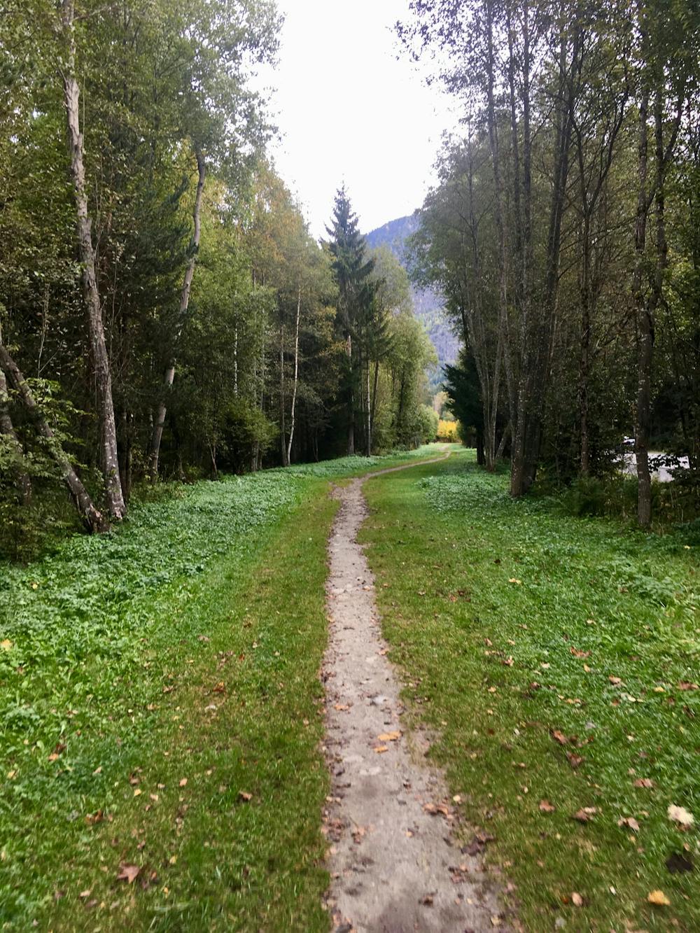
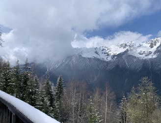
While Chamonix is renowned as a radically-challenging mountain destination, the valley still offers a small trail system filled with easy hiking and running routes: the Les Bois trails. This network of trails and dirt paths inhabits a stand of tall trees along the banks of the river.
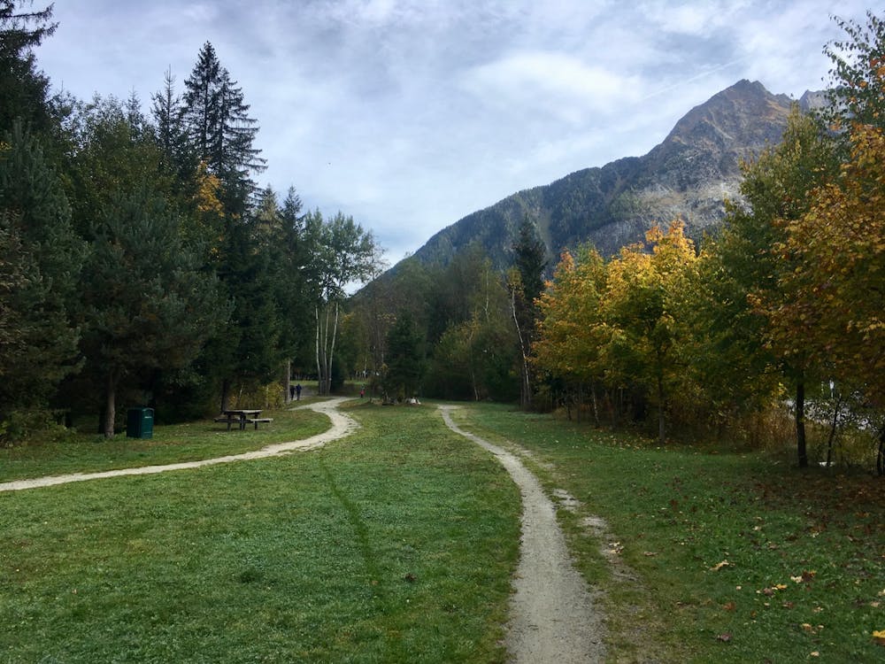
The route mapped here is just one recommendation from the Chamonix Board of Tourism for an itinerary in this area. This small forest is a complex network of wide dirt paths and narrow singletrack trails that are constantly intersecting, splitting, and junctioning with other trails. Trying to follow a specific route through this area can be confusing, so it’s best to just pick a general direction that you’d like to go and pick the type of track that you’d like to follow.
For an easier route, stick to the wide, gravel paths. With almost no elevation gain and no technical obstacles, these provide the easiest hiking and running you’ll find anywhere in Chamonix
In between the gravel paths there are a few flat singletrack trails. Since these trails traverse such a flat woodland zone, they are quite rooty and can be wet if it’s rained recently. Choose these trails for a slightly more challenging adventure.
If you’d like to continue your adventure beyond the route detailed here, the options are endless! Consider connecting to the Chamonix Valley Gravel Ride or the Petit Balcon Loop.
Easy

The path is on completely flat land and potential injury is limited to falling over.
Close to help in case of emergency.
81 m away
le cross du Mont-blanc
Difficult Trail Running
94 m away

La course format 10k de l'événement
Moderate Trail Running
103 m away

Le mini cross est un petit trail pour les plus jeunes, de 800m à 3km en fonction des catégories.
Easy Trail Running
408 m away

A classic loop around the Chamonix Valley.
Easy Trail Running
641 m away
Enjoy the open vistas of the north balcony between Montenvers and Plan de l'Aiguille on vintage Chamonix trails.
Moderate Trail Running
717 m away
An amazing way to see some of the best view in Chamonix on foot.
Moderate Trail Running
907 m away

La plus longue coure du Marathon
Extreme Trail Running
908 m away

La course nocturne en binome
Difficult Trail Running
913 m away

Epreuve reine de l'événement
Severe Trail Running
933 m away

le kilomètre vertical de Chamonix
Difficult Trail Running

8 routes · Trail Running