1.3 km away
Kv du Mont-Blanc

le kilomètre vertical de Chamonix
Difficult Trail Running
- Distance
- 3.9 km
- Ascent
- 1 km
- Descent
- 0 m
A loop from Chamonix to Aiguillette des Houches, returning via Le Bettey, Le Coupeau and a stretch of the renowned UTMB trail.
Trail Running Moderate

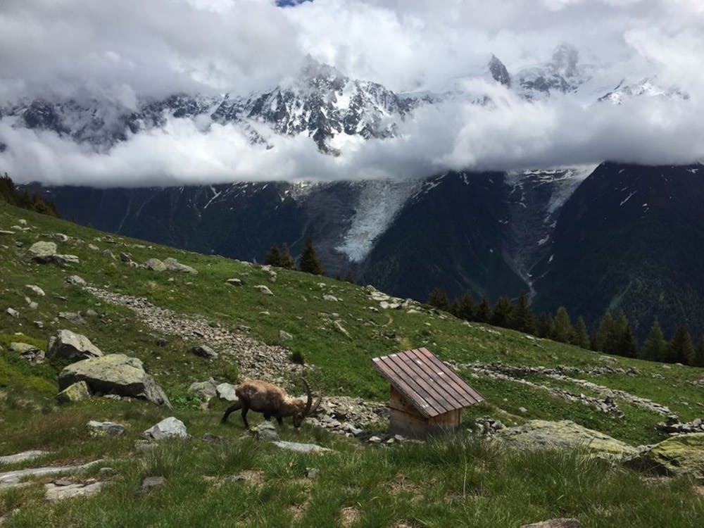
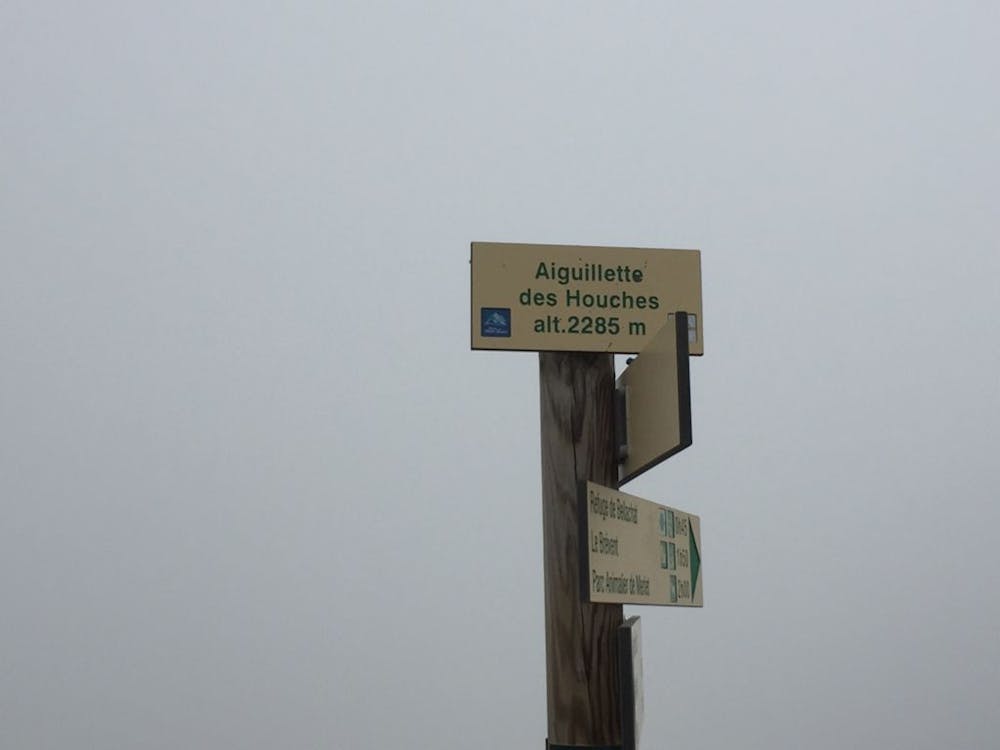
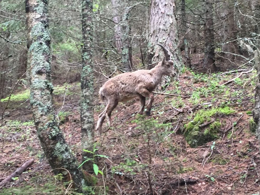
A moderate climb from Chamonix to Aiguillette des Houches, with Merlet and Chalets de Chailloux. As progress is made, the forest trails turn to alpine meadows; revealing amazing panoramic views of the valley. You can also expect to see plenty of bouquetin and the odd marmotte.
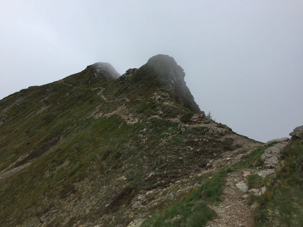
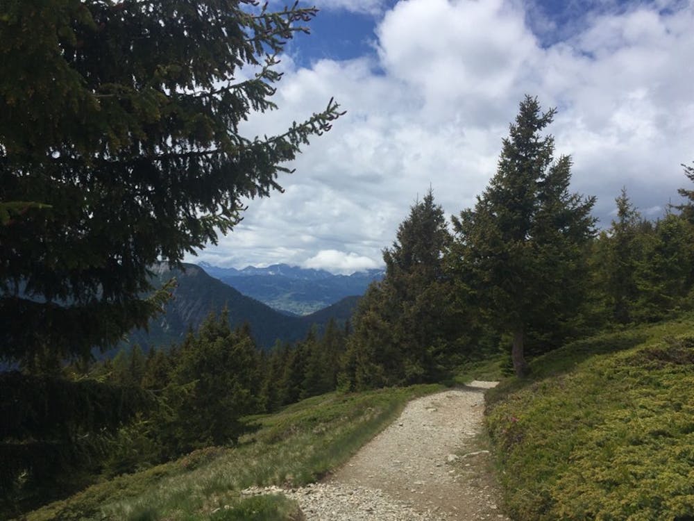
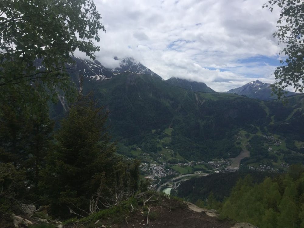

The descent will take you through the mountain sleepy villages of Le Bettey and Le Coupeau and the trail eventually meets a section of the UTMB race, taking you back on a flat trail towards Chamonix.
Moderate

Some trail sections have exposed ledges or steep ascents/descents where falling could cause serious injury.

Away from help but easily accessed.
1.3 km away
le kilomètre vertical de Chamonix
Difficult Trail Running
1.3 km away

Epreuve reine de l'événement
Severe Trail Running
1.3 km away

La course nocturne en binome
Difficult Trail Running
1.3 km away

La plus longue coure du Marathon
Extreme Trail Running
1.5 km away
An amazing way to see some of the best view in Chamonix on foot.
Moderate Trail Running
2 km away

A classic loop around the Chamonix Valley.
Easy Trail Running
2 km away
Enjoy the open vistas of the north balcony between Montenvers and Plan de l'Aiguille on vintage Chamonix trails.
Moderate Trail Running
2.2 km away

La course format 10k de l'événement
Moderate Trail Running
2.2 km away

le cross du Mont-blanc
Difficult Trail Running
2.2 km away

Le mini cross est un petit trail pour les plus jeunes, de 800m à 3km en fonction des catégories.
Easy Trail Running

8 routes · Trail Running