8.5 km away
Semnoz Ridge
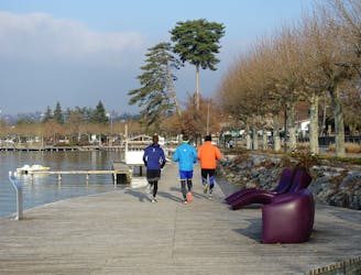
A fun loop through gorgeous forests which can be reached on foot from Annecy town centre
Moderate Trail Running
- Distance
- 15 km
- Ascent
- 619 m
- Descent
- 619 m
Départ du parking attérrissage Péroix
Trail Running Difficult

This is a popular trail running route which is generally considered to be difficult. It's remote, it features medium exposure and is typically done between May and September. From a low point of 547 m to the maximum altitude of 1.6 km, the route covers 10 km, 1098 vertical metres of ascent and 1098 vertical metres of descent.
Itinéraire souvent emprunté par les parapentistes
Difficult

The trail contains some obstacles such as outcroppings and rock which could cause injury.
Away from help but easily accessed.
8.5 km away
A fun loop through gorgeous forests which can be reached on foot from Annecy town centre
Moderate Trail Running
9.8 km away
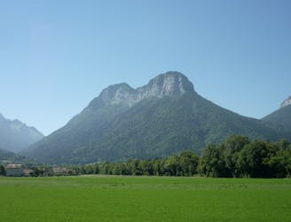
Randonnée familiale pour découvrir le massif du Trélod par la commune de Lathuile
Moderate Trail Running

15 routes · Hiking · Trail Running