2.5 km away
Semnoz Ridge
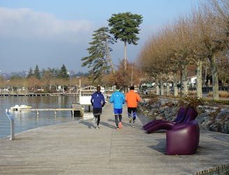
A fun loop through gorgeous forests which can be reached on foot from Annecy town centre
Moderate Trail Running
- Distance
- 15 km
- Ascent
- 619 m
- Descent
- 619 m
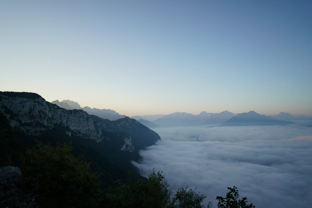
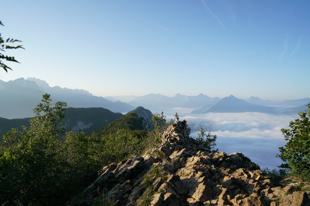
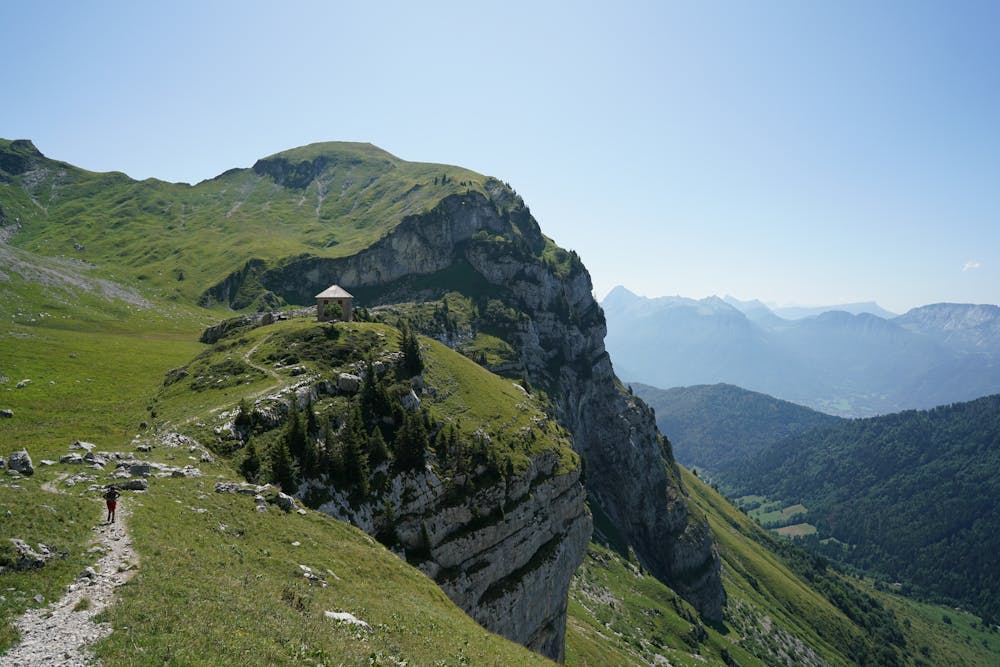
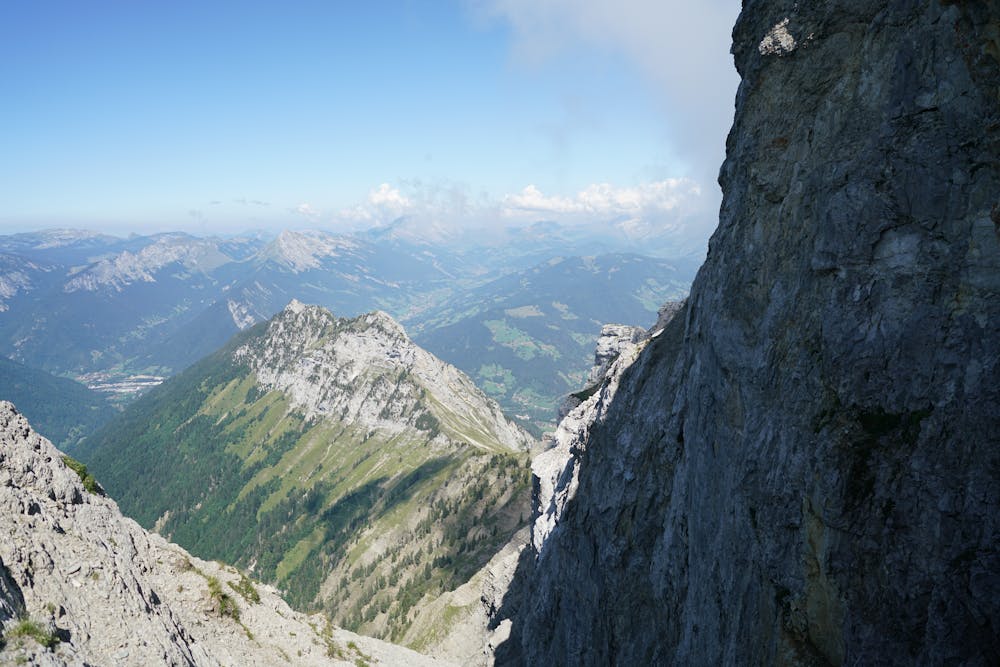
A must-do either in trail-running or hiking ! Annecy-le-Vieux > Col des Sauts > Mont Veyrier > Mont Baron > Col des Contrebandiers > Col de Bluffy > Planfait > Chalets de l'Aulp > La Tournette > Chalets de l'Aulp > Col de la Forclaz
Trail Running Difficult

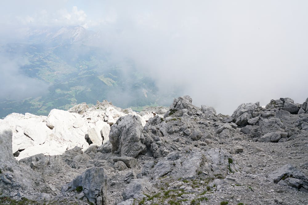
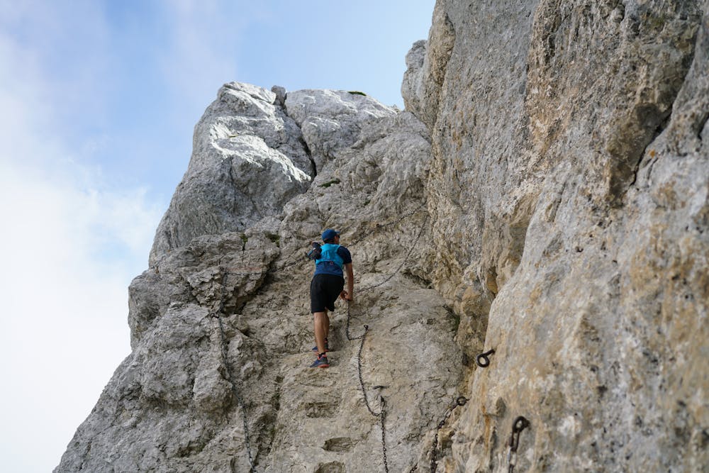
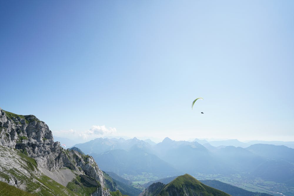
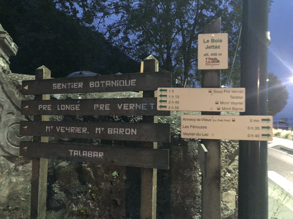
Start not so far from the small port of Annecy-le-Vieux, heading to Talloires. Some signs indicate Mont Veyrier. Go all the way up to Mont Veyrier via the Col des Sauts (where you will get a first nice view on the lake). Continue on the beautiful aerial ridge towards Mont Baron. Don't forget to enjoy the panorama. Keep going until the old cable-car platform (back in 1934 it was possible to reach the top from Veyrier du Lac, except a stunning view, nothing remains from this time). Then go down to Col des Contrebandiers and join the Col de Bluffy. Follow the road inside the small village of Bluffy for about 10 minutes. Once you see the trail on the left side, take it to reach Planfait (famous take-off spot for paragliding). From Planfait, join the Chalets de l'Aulp. The ascent is steep but safe. From l'Aulp going up to La Tournette is quite obvious: the trail is very well marked. A variant of the normal path exists just before the Blonay-Dufour refuge on the left. It's a nice alternative but way more technical than the classic. Anyway getting to the summit is not too complicated but beware in wet conditions or if there's snow remaining. Some cables and chains are available in few passages and two metal ladders have been installed to reach the summit. You can go down either the same way or through the variant. Once back to the Chalets de l'Aulp follow the trails going to the Col de la Forclaz. This is one of the world's most famous paragliding site. There you can rest and go back to Talloires or reach Doussard at the end of the lake.
Difficult

The trail contains some obstacles such as outcroppings and rock which could cause injury.

Close to help in case of emergency.
2.5 km away
A fun loop through gorgeous forests which can be reached on foot from Annecy town centre
Moderate Trail Running