6.6 km away
Brévent - Pormenaz Loop
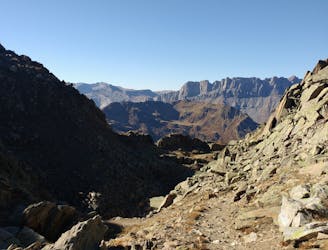
There's life beyond the South and North Balcony trails—explore this amazing loop!
Severe Trail Running
- Distance
- 31 km
- Ascent
- 2.4 km
- Descent
- 2.4 km
nice run if the snow is still there above 1600m
Trail Running Moderate

This is a popular trail running route which is generally considered to be moderate. It's not remote, it features low exposure and is typically done between March and October. From a low point of 1.1 km to the maximum altitude of 1.6 km, the route covers 7.6 km, 579 vertical metres of ascent and 586 vertical metres of descent.
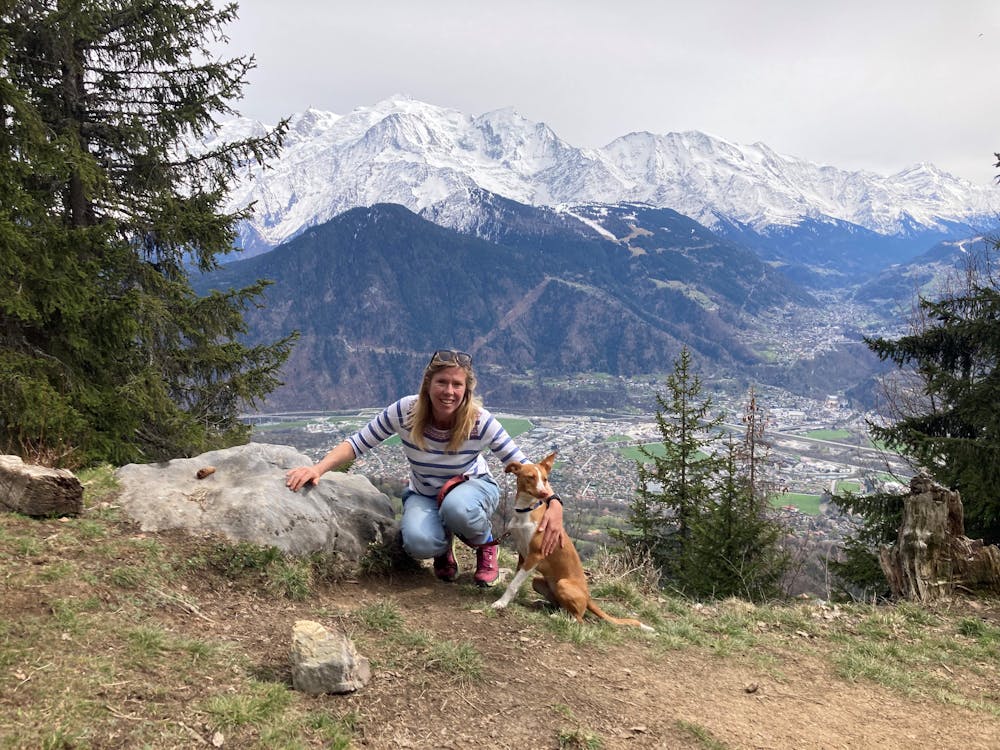
This is a quiet route close to Chamonix with fantastic views
Moderate

The path is on completely flat land and potential injury is limited to falling over.
Close to help in case of emergency.
6.6 km away
There's life beyond the South and North Balcony trails—explore this amazing loop!
Severe Trail Running