1.7 km away
Semnoz Ridge
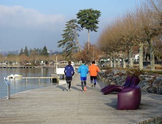
A fun loop through gorgeous forests which can be reached on foot from Annecy town centre
Moderate Trail Running
- Distance
- 15 km
- Ascent
- 619 m
- Descent
- 619 m
Le tour du lac d'Annecy par les montagnes.
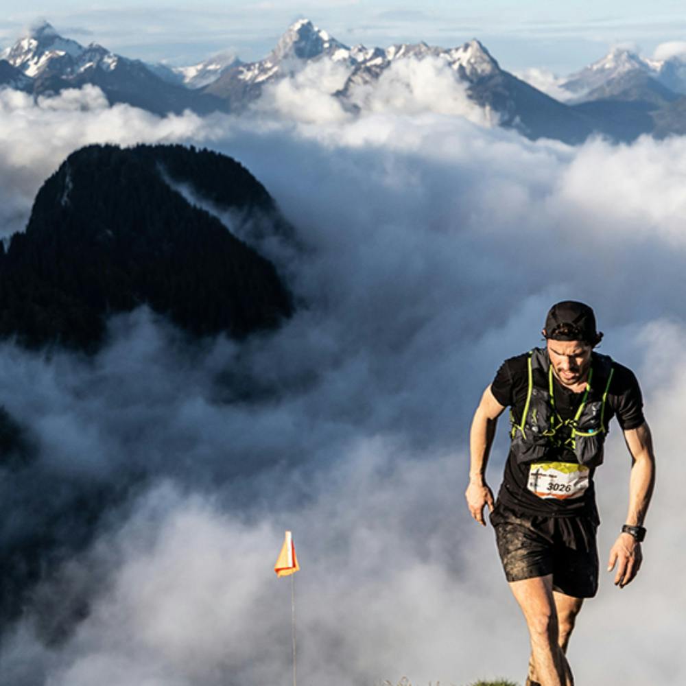
Trail Running Difficult

This is a popular trail running route which is generally considered to be difficult. It's not remote, it features medium exposure and is typically done between April and October. From a low point of 445 m to the maximum altitude of 1.7 km, the route covers 82 km, 4833 vertical metres of ascent and 4833 vertical metres of descent.
Annecy Bois de Sévrier Forêt Domaniale du Semnoz Crêt de Chatillon 1699m Saint-Eustache Montagne d'Entrevernes 1336m Doussard Mont Baron 1299m Mont Veyrier Annecy
Difficult

The trail contains some obstacles such as outcroppings and rock which could cause injury.

Close to help in case of emergency.
1.7 km away
A fun loop through gorgeous forests which can be reached on foot from Annecy town centre
Moderate Trail Running