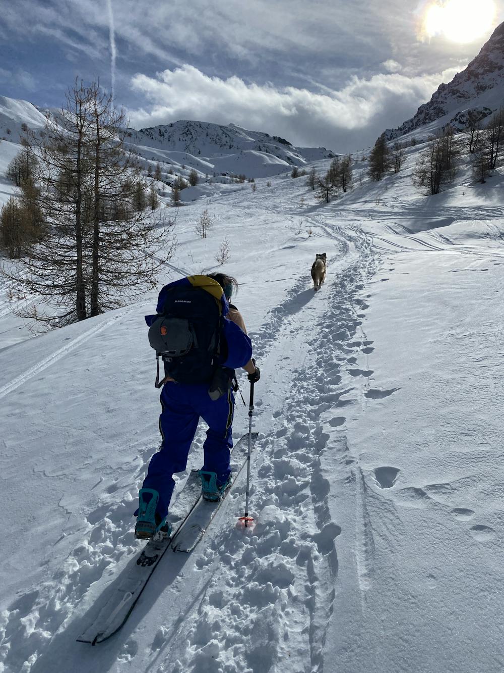
Col de Longet ski 🎿
Briançon
Facile et Sympa avec pas mal de variation possible
Hiking Easy
- Distance
- 3.7 km
- Ascent
- 674 m
- Descent
- 0 m
- Duration
- 1-2 hrs
- Low Point
- 2 km
- High Point
- 2.7 km
- Gradient
- 13˚

This is a popular hiking route which is generally considered to be easy. It's remote, it features low exposure and is typically done between December and May. From a low point of 2 km to the maximum altitude of 2.7 km, the route covers 3.7 km, 674 vertical metres of ascent and 0 vertical metres of descent.
Description
A smooth rando up and down. The way down is the same as the way up, but you can improvise while quipping it easy.
Difficulty
Easy
Walking along a well-kept trail that’s mostly flat. No obstacles are present.
Low Exposure

The path is on completely flat land and potential injury is limited to falling over.
Remoteness

Away from help but easily accessed.
Best time to visit
Features
- Picturesque
- Dog friendly
- Family friendly