Bois Durat
Briançon
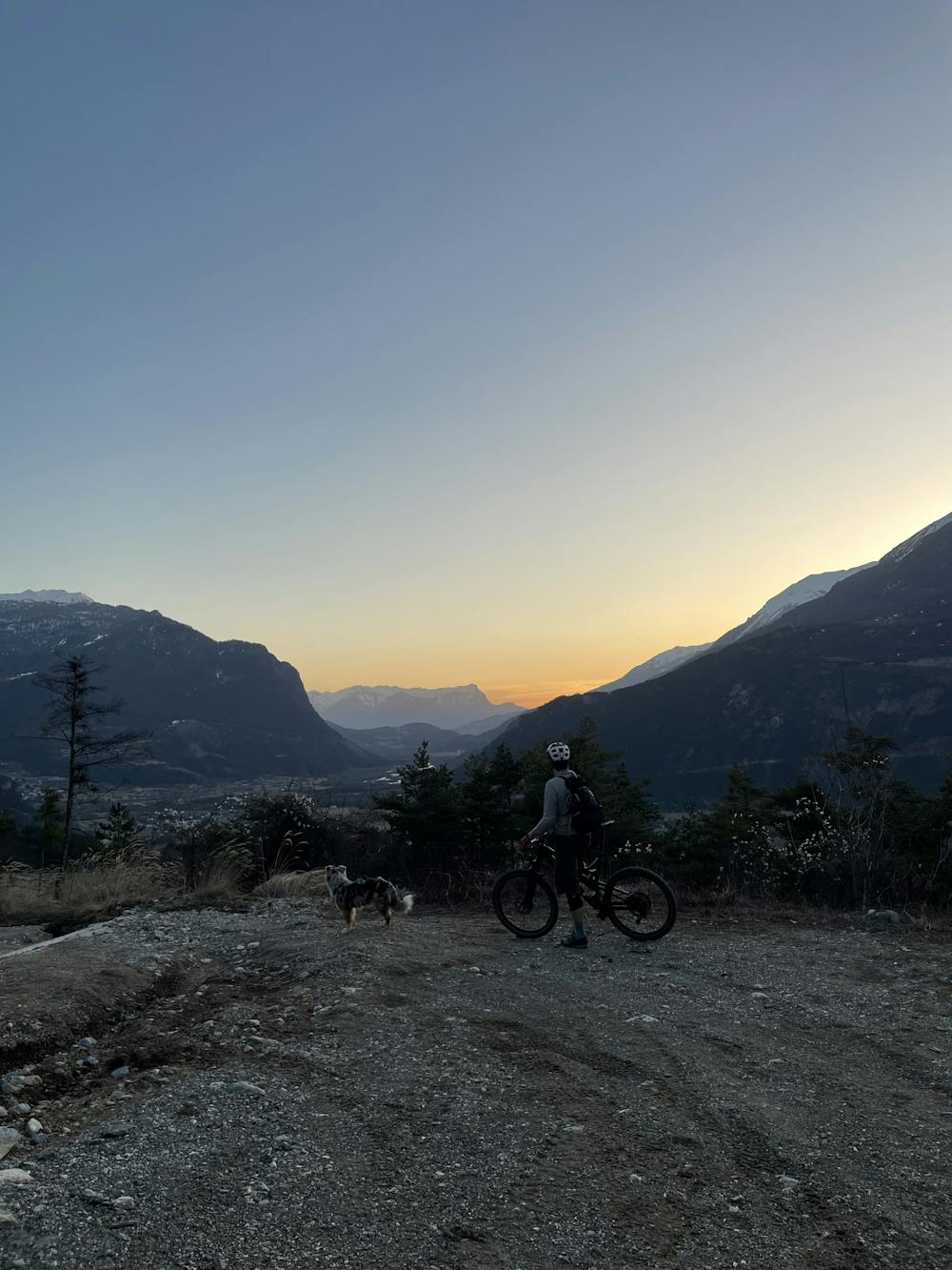
Physical climb for a fantastic downhill with stunning views
Mountain Biking Difficult
- Distance
- 7.3 km
- Ascent
- 572 m
- Descent
- 537 m
- Duration
- 1-2 hrs
- Low Point
- 1.1 km
- High Point
- 1.6 km
- Gradient
- 12˚

This is a popular mountain biking route which is generally considered to be difficult. It's remote, it features medium exposure and is typically done between May and October. From a low point of 1.1 km to the maximum altitude of 1.6 km, the route covers 7.3 km, 572 vertical metres of ascent and 537 vertical metres of descent.
Description
Short but steep climb in the middle. Very fun downhill, a bit technical but still accessible to most
Difficulty
Difficult
Mostly stable trail tread with some variability featuring larger and more unavoidable obstacles that may include, but not be limited to: bigger stones, roots, steps, and narrow curves. Compared to lower intermediate, technical difficulty is more advanced and grades of slopes are steeper. Ideal for upper intermediate riders.
Medium Exposure

The trail contains some obstacles such as outcroppings and rock which could cause injury.
Remoteness
Away from help but easily accessed.
Best time to visit
Features
- Flow
- Technical
- Singletrack
- In the forest
- Roots