Reotier loop with 2 wheels
Briançon
Forest road to go up, mix trail and forest road downhill.
Mountain Biking Difficult
- Distance
- 17 km
- Ascent
- 775 m
- Descent
- 775 m
- Duration
- 1-2 hrs
- Low Point
- 884 m
- High Point
- 1.6 km
- Gradient
- 11˚
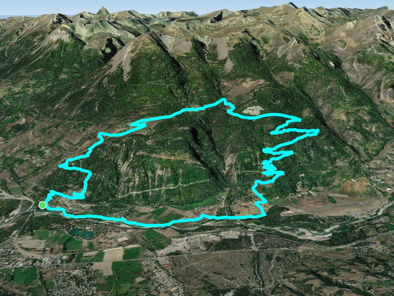
This is a popular mountain biking route which is generally considered to be difficult. It's remote, it features medium exposure and is typically done between April and October. From a low point of 884 m to the maximum altitude of 1.6 km, the route covers 17 km, 775 vertical metres of ascent and 775 vertical metres of descent.
Description
Long but easy climb, Long enjoyable downhill. Some part of the downhill can be a bit technical.
Difficulty
Difficult
Mostly stable trail tread with some variability featuring larger and more unavoidable obstacles that may include, but not be limited to: bigger stones, roots, steps, and narrow curves. Compared to lower intermediate, technical difficulty is more advanced and grades of slopes are steeper. Ideal for upper intermediate riders.
Medium Exposure

The trail contains some obstacles such as outcroppings and rock which could cause injury.
Remoteness
Away from help but easily accessed.
Best time to visit
Features
- Technical
- Picturesque
- Singletrack
- In the forest
- Wet-weather friendly
- Roots
- Wooden Feature