935 m away
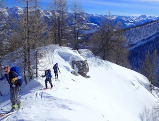
Crête de Reychard
Great tree skiing when the snow is good.
Difficult Ski Touring
- Distance
- 9.4 km
- Ascent
- 937 m
- Descent
- 1.2 km
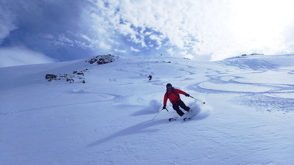
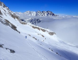
A stunning line near Puy-Saint-Vincent ski resort
Ski Touring Difficult

A great line in a stunning valley, this line is just alongside the Puy Saint Vincent ski station but you can’t see it and it feels wild. It can be accessed from resort with a bit of booting and skiing over a crête, so don’t be surprised if you see a few more people coming down than you expected.
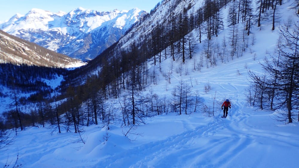
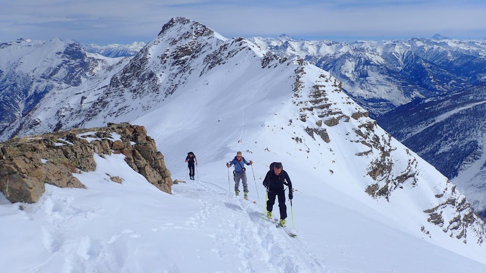
From the parking near 1800 resort cross the road on the bend and follow the path, it quickly crosses a piste and then continues flat in a NW direction. Cross a metal gantry and continue until you reach the valley of Narreyroux. Here turn SW and follow the valley floor, after some steeper steeps turn north and climb to the Col de Bal. From the col it is possible to follow the ridge west for a few hundred meters. This gives access to some steeper lines which can be scouted on the way in.
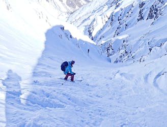
Descent
There are a few options for descent depending on snow levels etc. The easiest is to just follow your track back, but it is possible with a bit of planning to ski across and descend the valley on the left hand side if you are skiing down, this side is often less tracked, but does need a good snow level as there are some rocky sections that need covering. There are also some steeper lines if you have travelled further up the ridge, but you need to have scouted them first and its not alway obvious what goes and what ends in a drop.
Difficult
Serious gradient of 30-38 degrees where a real risk of slipping exists.

Exposure is limited to that of the slope itself. Getting hurt is still likely if the slope is steep and/or the snow is hard.

Away from help but easily accessed.
935 m away
Great tree skiing when the snow is good.
Difficult Ski Touring
4.6 km away
A short tour with the use of an uplift.
Difficult Ski Touring
4.6 km away
Classic couloir skiing in an amazing place.
Severe Ski Touring
5.5 km away
A mixed day of tracks, woods and open faces.
Moderate Ski Touring
7 km away
A classic circular route through some big peaks
Severe Ski Touring