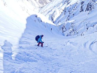
5.5 km away
Col du Bal
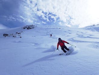
A stunning line near Puy-Saint-Vincent ski resort
Difficult Ski Touring
- Distance
- 11 km
- Ascent
- 1 km
- Descent
- 1 km
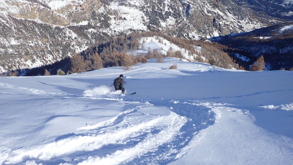
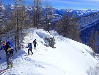
A mixed day of tracks, woods and open faces.
Ski Touring Moderate

As you enter the Fournel Valley you normally park at the obvious parking near the signs for the silver mines. Sometimes the road is open to allow access for the ice climbing higher up the valley (if open it is still quite icy). If this is the case you can park near the first bridge or near the water plant just past the second little bridge, next to the road junction. Please park carefully and considerately as, if open, this route does see some traffic for the ice climbing.
From the main parking, head up the road and cross the first bridge. Just after this bridge turn right and take a cut through to emerge just before the second bridge. Turn right and you arrive at a road junction; take the left uphill road and follow it up round one tight bend to another junction.
Here there is a sign telling you about the nature reserve areas on this tour. Check it out and make sure you don’t enter any of them.
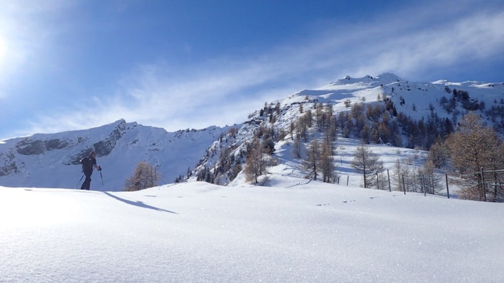
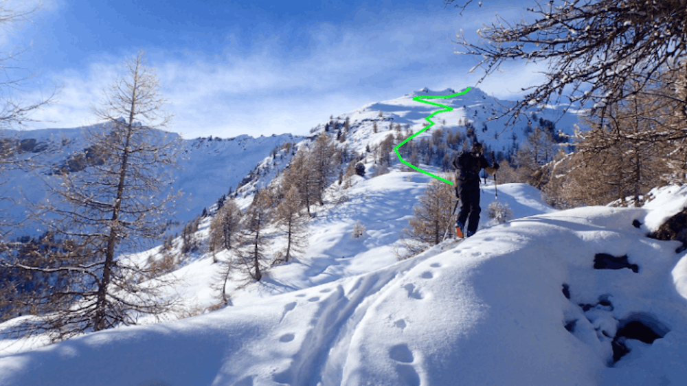
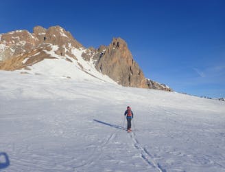
Take the right-hand road and head up again through some switchback turns. (It’s possible to cut the corners on the road, but the wood is dense and the roadway provides a gentle if longer warm-up.) Keep going until you reach two houses at 1650m, at which point leave the road and head up behind the houses. Follow a shallow ridge up through the trees. As the trees thin out and the ridge gets sharper you see the first nature reserve, fenced and roped off. Do not enter, but keep heading up until it opens out and you can see the top of the ridge leading to the summit. Pick your line up to it.
Descent
Follow your tracks back down the ridge to the houses at 1650m. Here you have a choice: either head back on the road, an easier but hassle-free descent, or try and keep heading down in the trees, often hard and overgrown - hence not always the best choice.
Moderate
Slopes become slightly steeper at around 25-30 degrees.

Exposure is limited to that of the slope itself. Getting hurt is still likely if the slope is steep and/or the snow is hard.

Away from help but easily accessed.
5.5 km away
A stunning line near Puy-Saint-Vincent ski resort
Difficult Ski Touring
6 km away
Great tree skiing when the snow is good.
Difficult Ski Touring
6 km away
A classic circular route through some big peaks
Severe Ski Touring
9.4 km away
A great traverse over one of the main peaks in the valley
Severe Ski Touring
9.8 km away
A short tour with the use of an uplift.
Difficult Ski Touring
9.8 km away
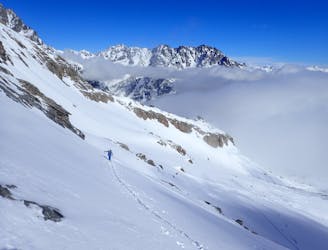
Classic couloir skiing in an amazing place.
Severe Ski Touring