3.8 km away
Tête Fouran
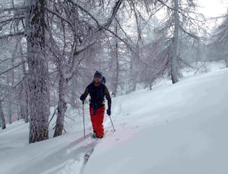
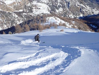
Great tree skiing.
Moderate Ski Touring
- Distance
- 8.2 km
- Ascent
- 1 km
- Descent
- 1 km
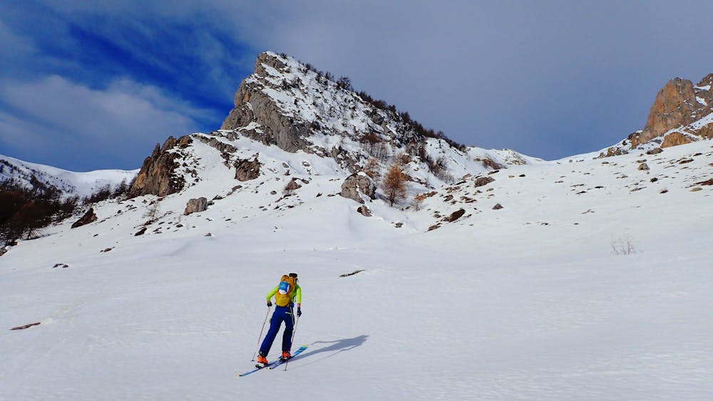
A great traverse over one of the main peaks in the valley
Ski Touring Severe

A wild and remote traverse of one of the main peaks in the valley, you will need to cars to make this traverse work or face a long skin back round to the starting point. But the effort is worth it, with the route offering great views and a real feeling of being high in the mountains
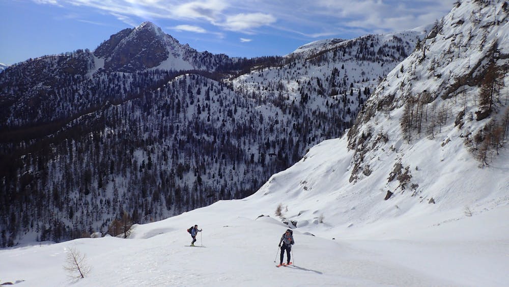
From the parking follow the forest road towards the Cabane de Tramouillon. There are quite a few options for cutting corners off the road that are never that steep and save a lot of time versus following the road. Just before the Cabane there is a small bridge that you must cross. From the Cabane you will see the south-east facing slope that takes you to the col at 2707m. Climb to the col it get very steep here and the use of crampons and axe maybe necesary.
Descent
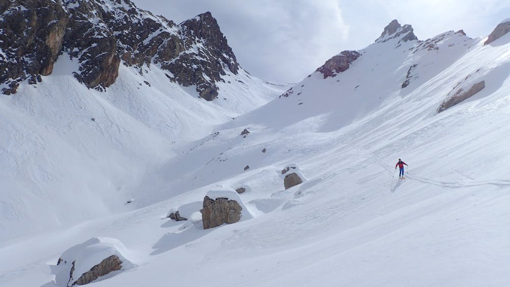
Ski down the Vallon de Clauzis. You can ski it either side and both are a fun line. At the end of the valley turn east and access a long open slope with the Eysserenne stream on it. It’s important to access this face as high up as you can; if you drop too low the trees stop you getting across. At the bottom of the face you come to a forest road, follow this east. The road goes all the way down to the bridge at 1194m, it isn’t very steep in places so can be hard work, in good snow it is possible to cut the corners off the road.
Severe
Steep skiing at 38-45 degrees. This requires very good technique and the risk of falling has serious consequences.

In case of a fall, death is highly likely.

Away from help but easily accessed.
3.8 km away
Great tree skiing.
Moderate Ski Touring
9.4 km away
A mixed day of tracks, woods and open faces.
Moderate Ski Touring