5.3 km away
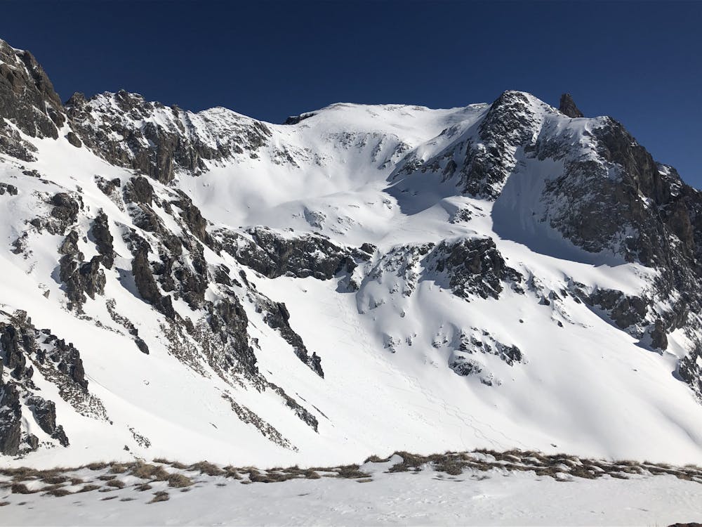
Pic de la Moulinière SW couloir
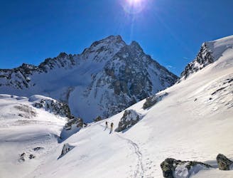
A long traverse for a cool couloir.
Severe Ski Touring
- Distance
- 11 km
- Ascent
- 1.4 km
- Descent
- 1.4 km

A short descent, then through a spectacular col then a short journey to the Col des Cerces, before a final descent to the Drayeres Hut
Ski Touring Moderate

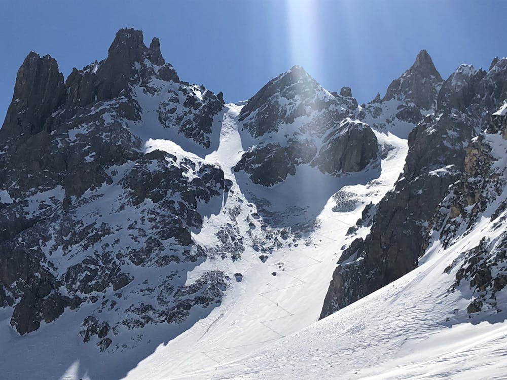
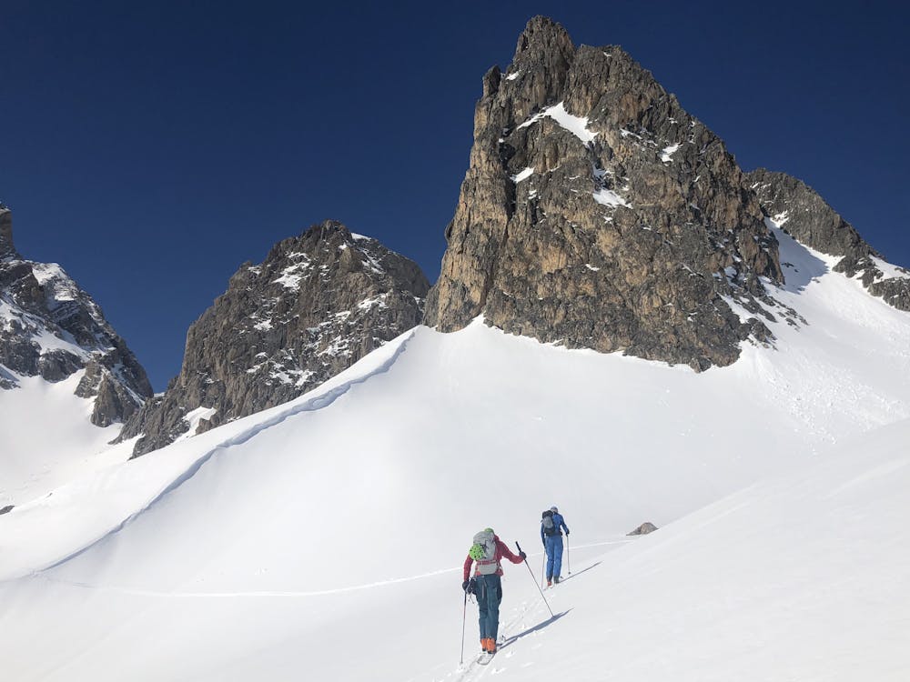
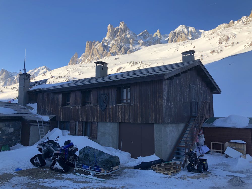
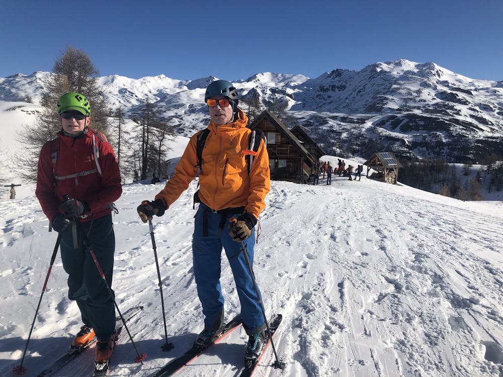
Unusually for a ski tour your day begins downhill from the hut, after a flattish section. Avoid the narrow path you came up on but take the L side of the Chardonnet streambed to the N of the hut, which is far more open. From the valley floor take the main track that leads in the direction of the Drayeres Hut. In really bad weather, or when looking for an easy day, you could go straight to the hut. Much more interesting is to take one of the side valley options. Either way skin up past the lovely Laval Hut (a great place to stop for a coffee/stay the night if the Chardonnet Hut is full). Shortly after here one option is an obvious circular loop above the Lac de Beraudes, below the Pointes des Cerces, or alternatively as shown, continue a little further up the valley. Cross the stream (snow bridge normally) and head up the streambed known as the Riou Blanc, aiming for the obvious unnamed col between the Pain de Sucre and the Pointe de Riou Blanc. Descent straight to the Drayeres Hut is possible from here, but more interesting is to continue NW down easy slopes, then an undulating skin again, past 2 frozen snow-covered lakes then S to the Col des Cerces. It is worth continuing 2 minutes beyond the col to a rocky outcrop to its SSE, from where there are outstanding views of the Grand Galibier and the Pointes des Cerces, 2 of the more challenging ski peaks of the area. Optional extras, not involving much more time, would be to visit the nearby Col des Rochilles or one of 2 cols to the N of nearby Lac Rond. Backtrack past where you had previously put your skins on, skiing on the L bank of the Claree streambed, down to the Drayeres Hut.
Moderate
Slopes become slightly steeper at around 25-30 degrees.
5.3 km away

A long traverse for a cool couloir.
Severe Ski Touring
5.3 km away
A great couloir that is quick to access, with cool skiing.
Severe Ski Touring
5.8 km away
A local classic couloir, a must for any steep skier.
Severe Ski Touring
5.9 km away
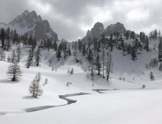
A beautiful introduction to this unspoilt area with gorgeous, varied and extremely friendly huts.
Moderate Ski Touring
6 km away
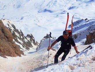
A classic couloir in the Cerces
Severe Ski Touring
6 km away
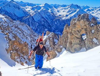
A stunning line, the couloir is great skiing.
Severe Ski Touring
6 km away
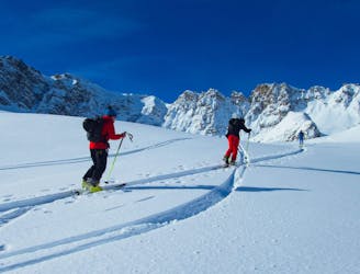
A really nice easier line, perfect for those new to ski touring. But a big day out as well.
Moderate Ski Touring
6 km away
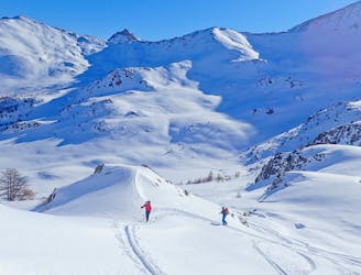
An interesting line with face and tree skiing.
Difficult Ski Touring
6.4 km away

The iconic ski peak of the area. A must do summit with incredible views and a big spring descent to a brilliant hut.
Difficult Ski Touring
8.7 km away
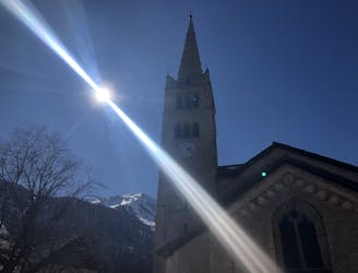
One big climb over a steady col then a long descent to Nevache.
Moderate Ski Touring
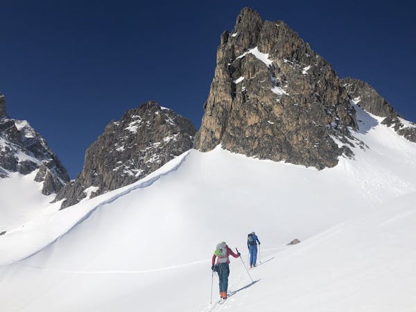
4 routes · Ski Touring