4.5 km away
Montagne de Cristol
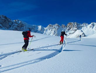
An interesting line with face and tree skiing.
Difficult Ski Touring
- Distance
- 9.5 km
- Ascent
- 990 m
- Descent
- 990 m
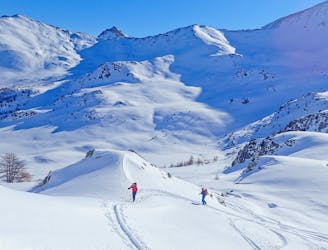
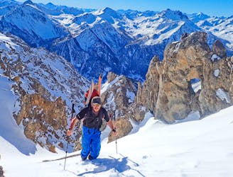
A great line at the end of a stunning valley
Ski Touring Difficult

This is a fabulous route in a peaceful valley.
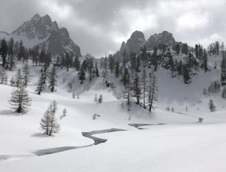
From the parking at Plampinet head NNW on the GR 5/57; this is a ski de fond track that doesn’t follow the exact route and twist and turns, so follow it but cut corners where possible. At 1582m turn west on a track leading through the trees, follow this to the Torrent Creuzt. It briefly comes back on the ski de fond track, and then head south into that valley.
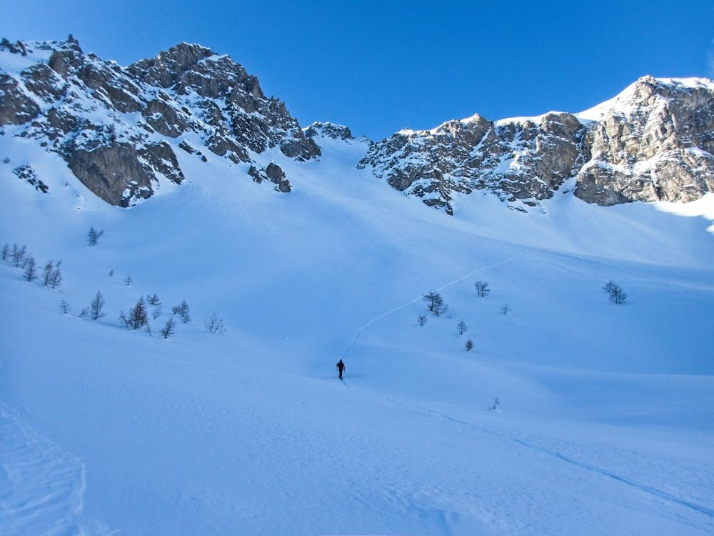
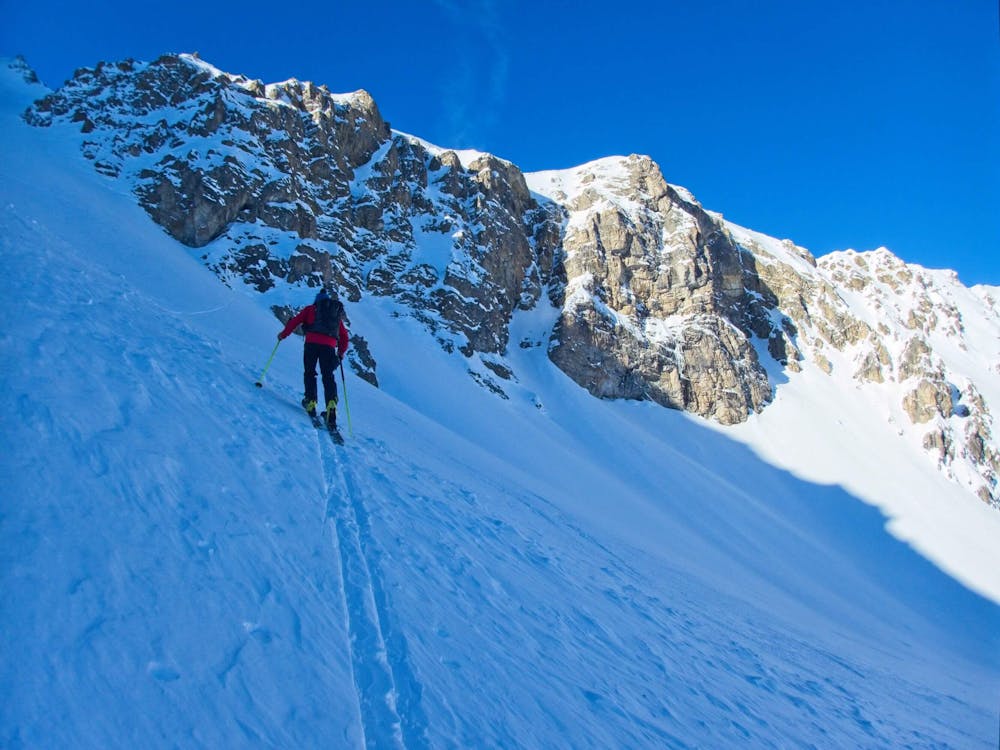
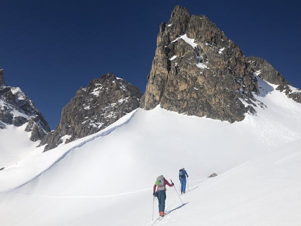
There are 2 choices as the valley steepens : stay in the valley floor and head up through a tight gully or cut left and gain height on a more open slope - there isn’t a lot of difference time wise. As you get into the higher part of the valley and out of the trees you will see the north couloir very clearly. Head up and follow it as it bends left. The couloir doesn’t lead to the summit; it is possible but involves descending the other side and climbing a different ridge.
Descent
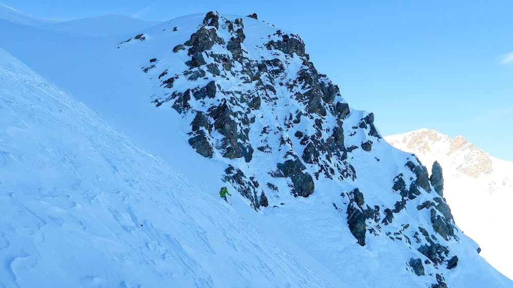
Follow the couloir back down and at the bottom traverse into the valley bottom through the trees and the tight gully seen on the way up. Continue on easier angle terrain though trees back to the ski de fond track. Here you have a choice - cut back through the trees you came up (this route can be tight in places and tricky in poor snow) or stay on the ski de fond track. If you stay on the ski de fond track it goes in loop and you will have to skate or pole up small hill sections. Either way brings you back on the GR5/57 and back to Plampinet.
Note – this route goes over two maps with no overlap –3535OT and 3536 OT - but there's no such worries with our map!
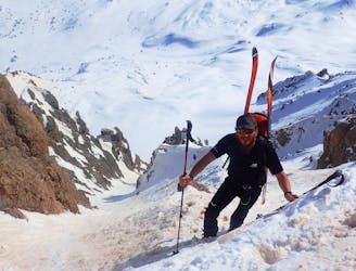
Difficult
Serious gradient of 30-38 degrees where a real risk of slipping exists.

As well as the slope itself, there are some obstacles (such as rock outcrops) which could aggravate injury.
Away from help but easily accessed.
4.5 km away
An interesting line with face and tree skiing.
Difficult Ski Touring
4.6 km away
A really nice easier line, perfect for those new to ski touring. But a big day out as well.
Moderate Ski Touring
4.6 km away
A stunning line, the couloir is great skiing.
Severe Ski Touring
4.6 km away
A classic couloir in the Cerces
Severe Ski Touring
4.6 km away
A beautiful introduction to this unspoilt area with gorgeous, varied and extremely friendly huts.
Moderate Ski Touring
8.1 km away
One big climb over a steady col then a long descent to Nevache.
Moderate Ski Touring
9.4 km away
A hybrid day with 2 busy resorts at the beginning and the middle, sandwiched with some very remote and beautiful terrain
Difficult Ski Touring
4 routes · Ski Touring