Pointe du Sifflet - Couloir NE par le pas du pin
Grenoble
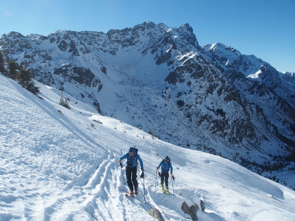
Steep line with a first couloir exposed to a small cliff, visible from quite far
Freeride Skiing Severe
- Distance
- 12 km
- Ascent
- 1.4 km
- Descent
- 1.4 km
- Low Point
- 1.3 km
- High Point
- 2.2 km
- Gradient
- 50˚

This is a popular freeride skiing route which is generally considered to be severe. It's remote, it features medium exposure (e2) and is typically done between December and May. From a low point of 1.3 km to the maximum altitude of 2.2 km, the route covers 12 km, 1367 vertical metres of ascent and 1367 vertical metres of descent. You'll need skins, ice axe and crampons to complete it safely.
Description
From a very common start (Prabert), two beautiful lines which make you discover a great part of Belledonne. The final couloir is quite impressive and quite straightforward line.
Difficulty
Severe
Steep skiing at 38-45 degrees. This requires very good technique and the risk of falling has serious consequences.
Medium Exposure (E2)

As well as the slope itself, there are some obstacles (such as rock outcrops) which could aggravate injury.
Remoteness
Away from help but easily accessed.
Best time to visit
Features
- Couloir
Equipment required
- Skins
- Ice axe
- Crampons