97 routes · Ski Touring · Mountain Biking · Hiking · Alpine Climbing
Explore Isère with curated guides of the best hiking trails, ski routes, and more. With over 93 3D trail maps in FATMAP, you can easily discover and navigate the best trails in Isère.
No matter what your next adventure has in store, you can find a guide on FATMAP to help you plan your next epic trip.
Get a top trail recommendation in Isère from one of our 6 guidebooks, or get inspired by the 93 local adventures uploaded by the FATMAP community. Start exploring now!
97 routes · Ski Touring · Mountain Biking · Hiking · Alpine Climbing
69 routes · Ski Touring · Hiking · Alpine Climbing · Trail Running

63 routes · Hiking · Ski Touring · Alpine Climbing

39 routes · Freeride Skiing
27 routes · Hiking · Mountain Biking
24 routes · Freeride Skiing
15 routes · Freeride Skiing
15 routes · Hiking
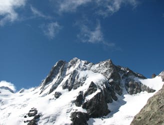
A fine and complex route on an isolated and beautiful mountain
Moderate Alpine Climbing
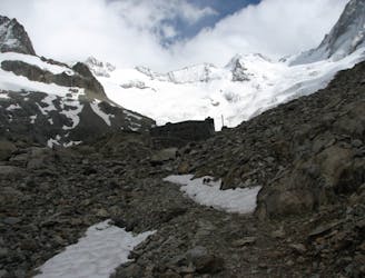
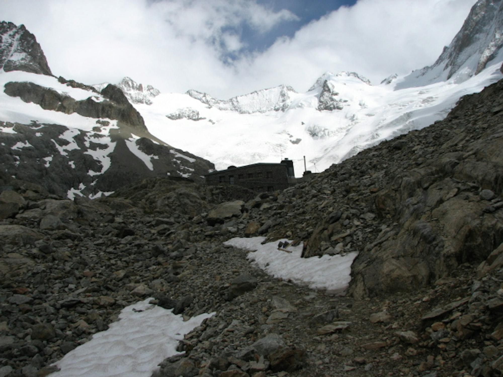
A beautiful walk up a wild valley to a remote hut with an impressive view
Difficult Hiking
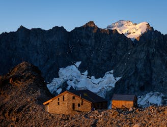
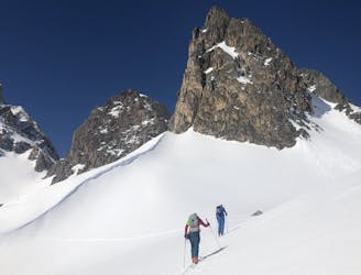
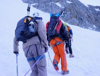
A long climb to a high col with amazing views, then a traverse to a high hut- into the wilderness!
Severe Ski Touring
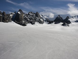
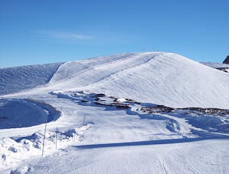
A mellow mountain journey through a high pass with a great descent
Difficult Ski Touring
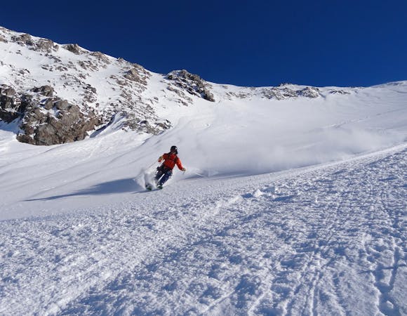
A steep S facing descent to be timed carefully for spring snow
Severe Ski Touring
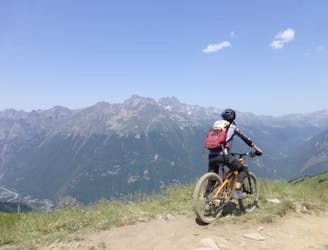
One of the most iconic downhills in the world.
Extreme Mountain Biking

One of the hardest off-pistes in Alpe d'Huez
Extreme Freeride Skiing

A slightly easier entry to the Perrins bowl, via a lovely short couloir, but still through serious terrain
Difficult Freeride Skiing

10 routes · Freeride Skiing
5 routes · Freeride Skiing
7 routes · Ski Touring
8 routes · Freeride Skiing

15 routes · Freeride Skiing · Ski Touring
6 routes · Alpine Climbing · Hiking