576 m away
Côtes de Rivet

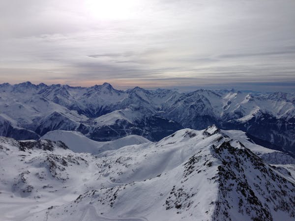
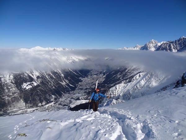
An easy access and gentle off-piste route.
Moderate Freeride Skiing
- Distance
- 2.9 km
- Ascent
- 0 m
- Descent
- 815 m

One of the hardest off-pistes in Alpe d'Huez
Freeride Skiing Extreme

The Cheminees (chimneys) can be seen from the bottom of the ski resort; they are a couple of couloirs and their verticality is very impressive. They are really easy access as they are just next to the arrival of Marmottes III. Either choose to go to the right or the left cheminee. Looking down, the right one has a wider start whereas the left one is narrower and you can barely do jump turns. By the end of them you can get a few turns as it get slightly wider but still extremely steep. There's a few safe spots where you can stop and wait for the rest of your crew but never go here if there's more than 3 to 4 of you. Once you come out of the couloir you can either do a traverse to your left and reach the top of the Clocher de Mâcle 2800 or ski down to join the start of Balcons slope. Everyone can see you from the cable car or at the top and bottom of Marmottes III which can add on a little more stress to your skiing! This itinerary is reserved only to experienced expert skiers only who are willing to push themselves. You're not allowed to fall here as you're surrounded by rocks and it's a very narrow couloir. Always go and check with the ski patrols how are the conditions and tell them you're going to go down the Cheminees; they'llalways have good advice to give you and they are located at the top and bottom of Marmottes III lift.
Extreme
Extreme skiing terrain above 45 degrees. These routes are reserved for experienced experts.
576 m away

An easy access and gentle off-piste route.
Moderate Freeride Skiing
1.9 km away

A very nice off-piste with a 15 min walk up a steep section.
Difficult Freeride Skiing
1.9 km away

A fantastic off piste adventure, in serious terrain
Difficult Freeride Skiing
1.9 km away

A great off-piste adventure, but in serious terrain
Difficult Freeride Skiing
2 km away

A fine but tricky route in serious terrain
Severe Freeride Skiing
2.4 km away

A slightly easier entry to the Perrins bowl, via a lovely short couloir, but still through serious terrain
Difficult Freeride Skiing
2.7 km away

A classic steep colour, for expert skiers only and with tricky route-finding
Extreme Freeride Skiing
3.5 km away

A great companion route to La Fare Canyon, sharing the same approach
Difficult Freeride Skiing
5.7 km away

A beautiful, sunny route away from the crowds, but be aware of the avalanche risk.
Difficult Freeride Skiing
5.8 km away

A lovely off-piste run in a quiet corner of the ski area
Moderate Freeride Skiing

8 routes · Freeride Skiing

15 routes · Freeride Skiing · Ski Touring