4 m away
263 Couloir

A fantastic off piste adventure, in serious terrain
Difficult Freeride Skiing
- Distance
- 4.5 km
- Ascent
- 36 m
- Descent
- 937 m
A great off-piste adventure, but in serious terrain
Freeride Skiing Difficult
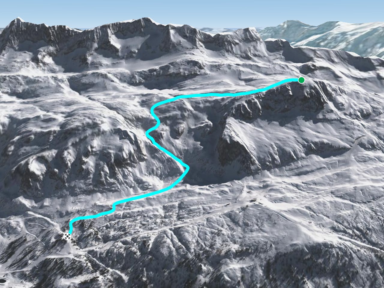
A fabulous, varied adventure; the skiing is never too hard, but the terrain is complex and serious. Excellent route finding skills are required to follow the right path, and there are a number of more difficult variants, so be very careful not to blindly follow tracks, as they may lead to extreme terrain. From the top of the Dôme des Petites Rousses, ski northwards across the summit with the edge to your left, and continue down a gentle slope, which descends into a tiny low-sided valley, heading north-east before turning back towards the north. When a small bowl opens on your right carry straight on northwards, and make a descending traverse across a fairly gentle slope, gradually turning west as you reach the floor of the small bowl at its base. From the tiny flat at the base of the bowl continue westwards towards a small knoll directly ahead before the main wall drops away, and ski down a small gully on the right flank of the knoll into a larger bowl backed by cliffs. Follow the base of the bowl, which funnels into the canyon proper - this is fun and varied skiing, with lots of short sections of varying steepness and aspect, which vary considerably according to snow conditions. At the bottom it is generally best to bear right and ski down a small valley and its successor to reach the Cascade piste.
Difficult
Serious gradient of 30-38 degrees where a real risk of slipping exists.

Exposure is limited to that of the slope itself. Getting hurt is still likely if the slope is steep and/or the snow is hard.

Little chance of being seen or helped in case of an accident.
4 m away
A fantastic off piste adventure, in serious terrain
Difficult Freeride Skiing
213 m away

A fine but tricky route in serious terrain
Severe Freeride Skiing
850 m away

A slightly easier entry to the Perrins bowl, via a lovely short couloir, but still through serious terrain
Difficult Freeride Skiing
953 m away

A classic steep colour, for expert skiers only and with tricky route-finding
Extreme Freeride Skiing
1.8 km away

A great companion route to La Fare Canyon, sharing the same approach
Difficult Freeride Skiing
1.9 km away

One of the hardest off-pistes in Alpe d'Huez
Extreme Freeride Skiing
2.4 km away

An easy access and gentle off-piste route.
Moderate Freeride Skiing
3.8 km away

A very nice off-piste with a 15 min walk up a steep section.
Difficult Freeride Skiing
5.4 km away

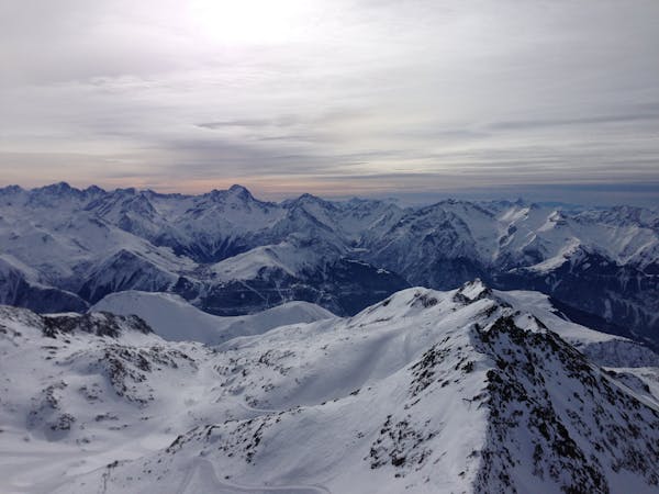
A beautiful, sunny route away from the crowds, but be aware of the avalanche risk.
Difficult Freeride Skiing
6.9 km away

A lovely off-piste run in a quiet corner of the ski area
Moderate Freeride Skiing
8 routes · Freeride Skiing

15 routes · Freeride Skiing · Ski Touring