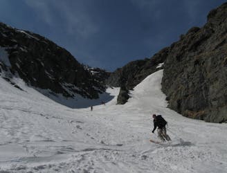
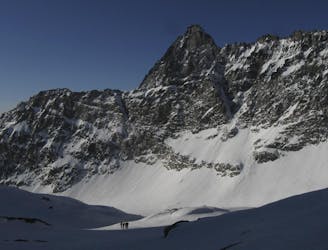
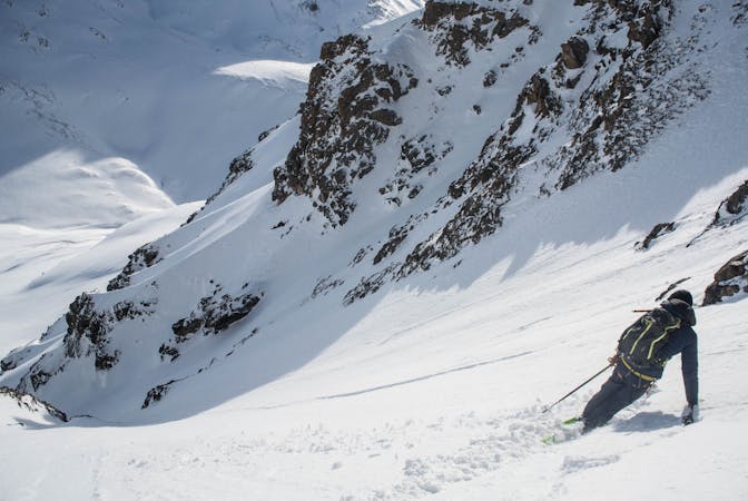
Glacier du Gebroulaz
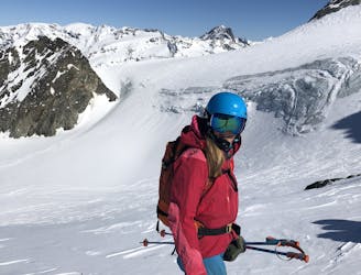
A classic traverse along the backbone of the Three Valleys.
Difficult Ski Touring
- Distance
- 20 km
- Ascent
- 581 m
- Descent
- 2.3 km
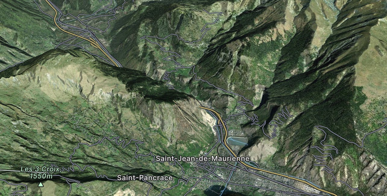
Explore Saint-Jean-de-Maurienne with curated guides of the best hiking trails, trail running routes, ski routes, and more. With over 69 3D trail maps in FATMAP, you can easily discover and navigate the best trails in Saint-Jean-de-Maurienne.
No matter what your next adventure has in store, you can find a guide on FATMAP to help you plan your next epic trip.
Get a top trail recommendation in Saint-Jean-de-Maurienne from one of our 7 guidebooks, or get inspired by the 69 local adventures uploaded by the FATMAP community. Start exploring now!
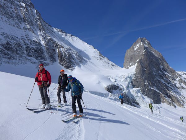
A classic traverse along the backbone of the Three Valleys.
Difficult Ski Touring
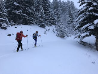
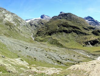
A safe option for crossing the Vanoise, avoiding as much steep ground as possible
Moderate Ski Touring
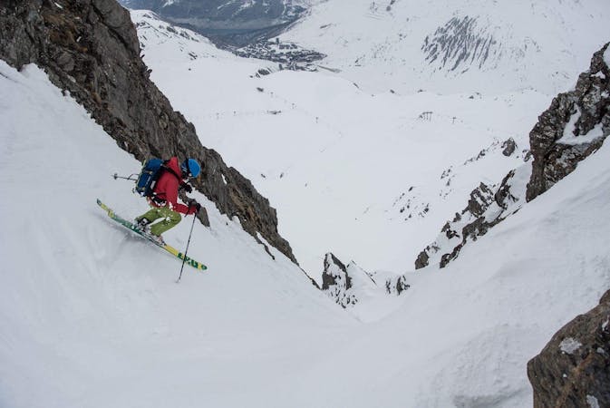
A big climb and a single huge descent on impressive N facing terrain
Difficult Ski Touring
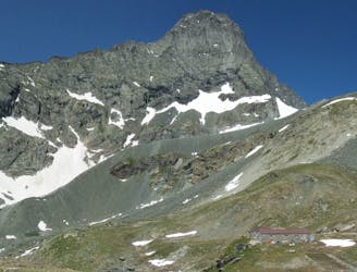
A great return trip up a very shapely peak
Moderate Ski Touring
Luckily a much easier day after the big one yesterday, over a steep col on the frontier
Difficult Ski Touring
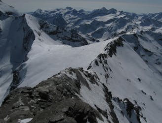
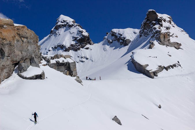
A memorable ski mountaineering traverse, with the addition of the Passage du Colerin to take you over to Italy
Severe Ski Touring
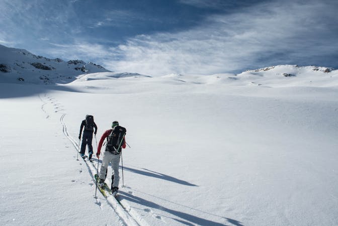
A crucial link between two high huts, with some long high glacial sections and fabulous mountain scenery
Difficult Ski Touring
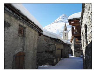
A positioning day from the roadhead in Bonneval to a high hut
Moderate Ski Touring

14 routes · Hiking
70 routes · Freeride Skiing
19 routes · Ski Touring
5 routes · Freeride Skiing · Ski Touring

3 routes · Hiking
5 routes · Ski Touring
6 routes · Ski Touring