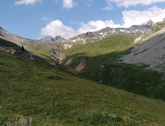
Via Alpina: Savoy to the Hautes Alps
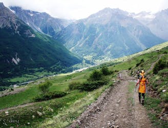
Follow the Via Alpina from Savoy to the Hautes Alps.
Moderate Hiking
- Distance
- 42 km
- Ascent
- 2.8 km
- Descent
- 2.3 km
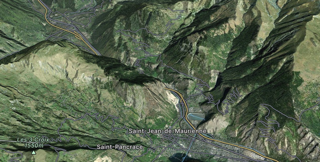
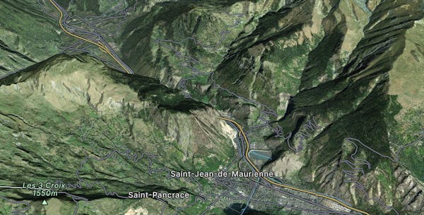
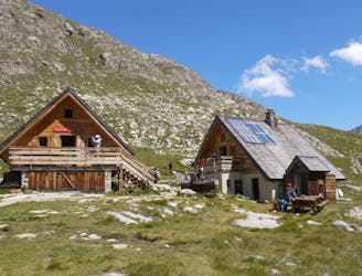
Go hiking in Saint-Jean-de-Maurienne with curated guides of the best hikes across the region. With over 69 3D trail maps in FATMAP, you can easily discover and navigate the best trails in Saint-Jean-de-Maurienne.
No matter what your next adventure has in store, you can find a guide on FATMAP to help you plan your next epic trip.
Get a top hiking trail recommendation in Saint-Jean-de-Maurienne from one of our 7 guidebooks, or get inspired by the 69 local adventures uploaded by the FATMAP community. Start exploring now!
Follow the Via Alpina from Savoy to the Hautes Alps.
Moderate Hiking
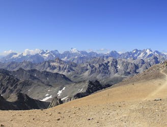
A wild mountain day taking you to one of France's best known summits
Difficult Hiking
A lovely day trip on its own, or a positioning day ahead of summiting Mont Thabor
Moderate Hiking
From the shores of Tignes Lake, pass two Cols on your way to the peaceful refuge below Grande Motte.
Moderate Hiking
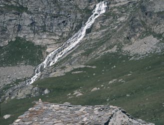
A walk along the rocky alpine pastures, facing the majestic glacial cirques of the Arc springs.
Moderate Hiking

The HRP of the Alpes across France, Switzerland and Italie
Difficult Hiking
Trek in Hannibal's footsteps on a 3 day hiking trip crossing the Alps,
Moderate Hiking

Traverse of the French Alps oin opposite direction
Difficult Hiking

14 routes · Hiking

3 routes · Hiking