1.5 km away
Pointe des Fours from le Pont de la Neige
A short, accessible summit hike to the rugged heights of Pointe des Fours from the Snow Bridge close to Col d'Iseran.
Moderate Hiking
- Distance
- 5.7 km
- Ascent
- 545 m
- Descent
- 545 m
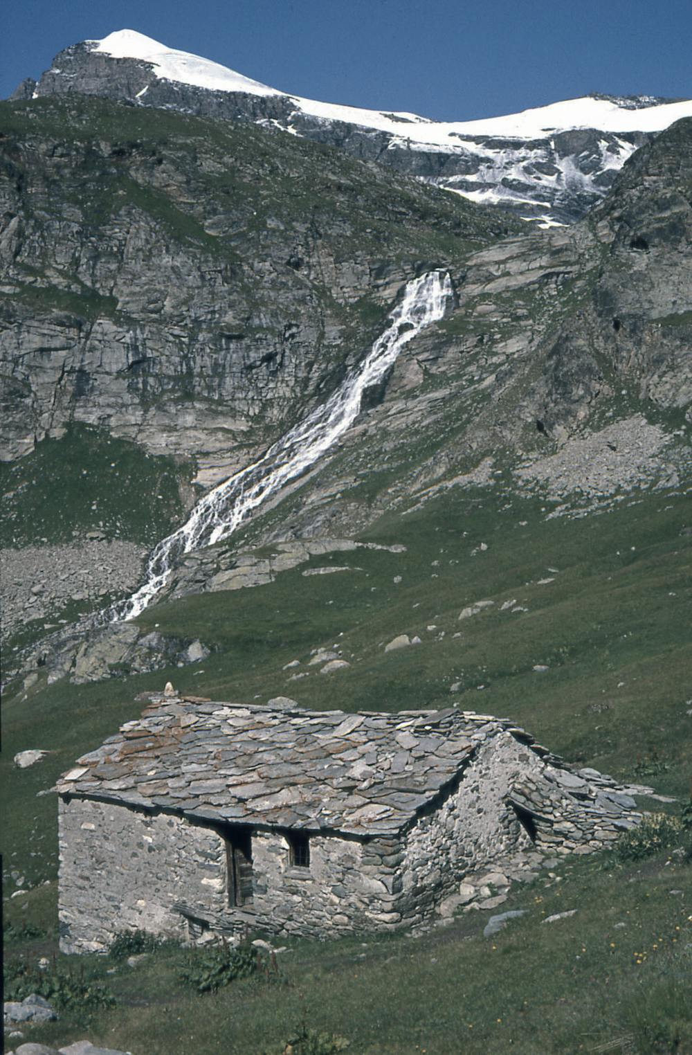
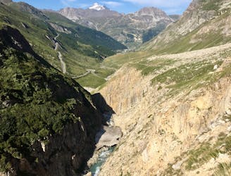
A walk along the rocky alpine pastures, facing the majestic glacial cirques of the Arc springs.
Hiking Moderate

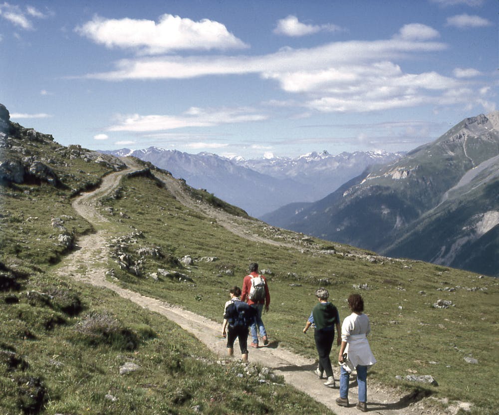
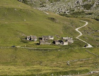
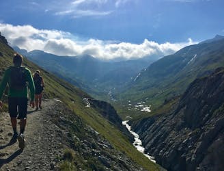
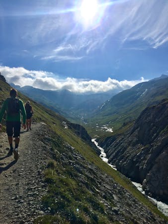
While hiking this route, you will feel so small amidst the magnificent Alps. It traverses through yellow grasses and green pastures and takes a balcony path where the view of the peaks and glaciers of the high Maurienne is exceptional.
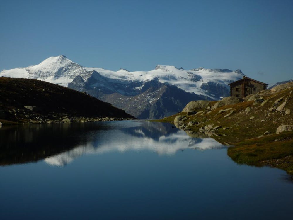
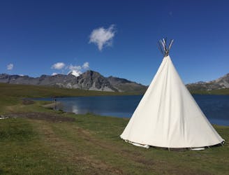
The destination, the refuge of Carro, is the highest refuge of the Savoyards Alpine Club at 2,759m. It's situated on a large plateau, near two lakes, in a high mountain site with nearby glaciers, The refuge faces the long border of the Levannason.
From the car park the trail climbs to reach the balcony path, which will offer a permanent panorama of the summits and the massifs: the Vallonnet glacier, the Albaron, the Cirque des Evettes, the glacier of Grand Méan, the peaks of Mulinet and its glacier, the glacier of the sources of the Arc, and the peaks of Levanna.
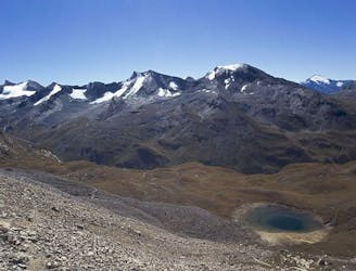
The trail eventually arrives at the small lake of Pys, dominated by the tip of Montet, then passing under the small and large Aiguille Rousse. Finally, you'll arrive at the Carro refuge.
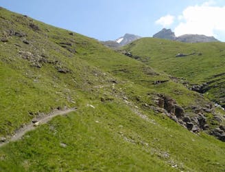
You can expect mostly rocky singletrack that gets rougher and more barren the higher the trail climbs. At times the effort required to step up/over rocky parts is moderate to hard (no scrambling required), but these sections are dispersed along the route so you can catch your breath and recover.
If you plan to hike this entire route in one day, be sure to reserve enough time. Alternatively, plan to stay overnight at the refuge.
In early summer, some passages can be covered in snow.
This route forms part of the multi-day tour of the Haute Maurienne Vanoise.
Moderate
Hiking along trails with some uneven terrain and small hills. Small rocks and roots may be present.

The trail contains some obstacles such as outcroppings and rock which could cause injury.

Little chance of being seen or helped in case of an accident.
1.5 km away
A short, accessible summit hike to the rugged heights of Pointe des Fours from the Snow Bridge close to Col d'Iseran.
Moderate Hiking
6.2 km away
This hike towards the Col and Lake Grand Fond in Vanoise National Park offers a superb view of the glaciers, the peaks, and a beautiful lake.
Difficult Hiking
6.3 km away
A medium length hike through gorges past grazing animals and leading towards a Col at 2957m.
Moderate Hiking
6.3 km away
Alternative Col hike from Vallon du Prariond
Moderate Hiking
6.3 km away
A long-distance hike with a rare landscape on arrival.
Moderate Hiking
7.7 km away
Discover Lac d'Ouillette, hidden from view from the Val d'Isere resort and onwards to a remote, rugged Col.
Moderate Hiking
7.7 km away
A stunning and strenuous round circuit through the Bailletaz Nature Reserve, passing above the glacial Lac de la Sassière.
Difficult Hiking
8 routes · Hiking

14 routes · Hiking