1.5 km away
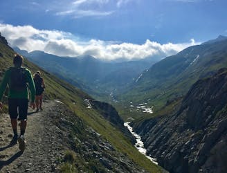
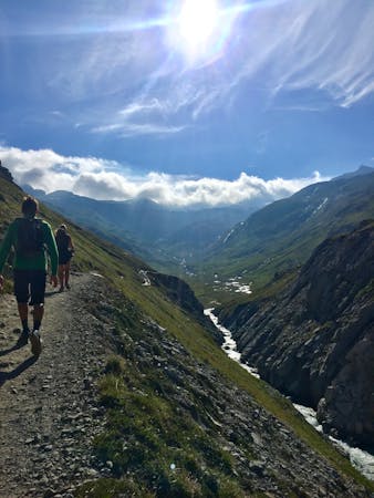
High Maurienne Trail to Refuge Carro
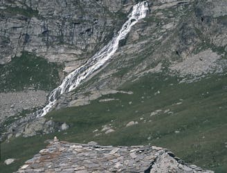
A walk along the rocky alpine pastures, facing the majestic glacial cirques of the Arc springs.
Moderate Hiking
- Distance
- 22 km
- Ascent
- 908 m
- Descent
- 908 m
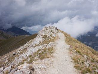
A short, accessible summit hike to the rugged heights of Pointe des Fours from the Snow Bridge close to Col d'Iseran.
Hiking Moderate

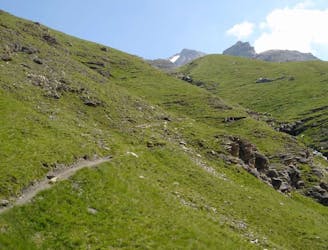
This route provides a short, accessible summit hike to the rugged heights of Pointe des Fours from le Pont de la Neige close to the Col l'Iseran pass. The route offers the chance to get into high barren, alpine territory with all its rugged, unspoilt landscape relatively quickly from the start point.
This short out-and-back route is a perfect morning or afternoon activity. That said, it's still a steep climb to reach the summit despite being such a short distance.
Whilst so close, make sure you visit the infamous Col l'Iseran; an understated and large col which also offers a small refreshments shack.
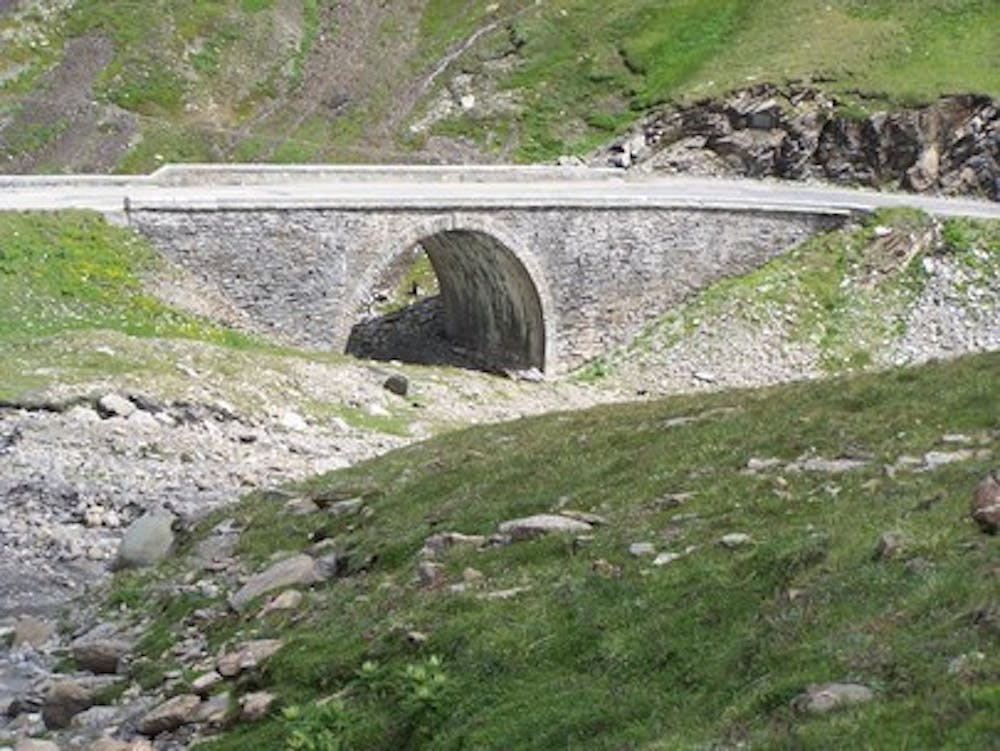
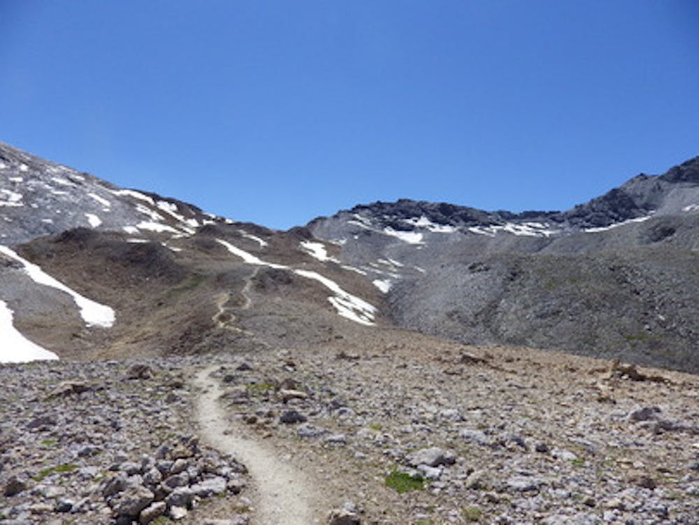
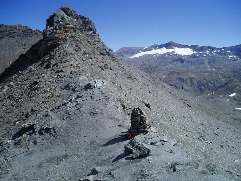
The start point and car park is located a few meters after the le Pont de la Neige (2528m) at the edge of the Col de l'Iseran road. Follow the marked trail towards Col des Fours. The trail is singletrack all the way, so it's easy to follow it to the Pointe des Fours summit.
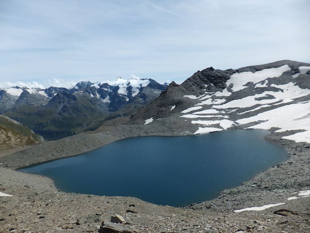
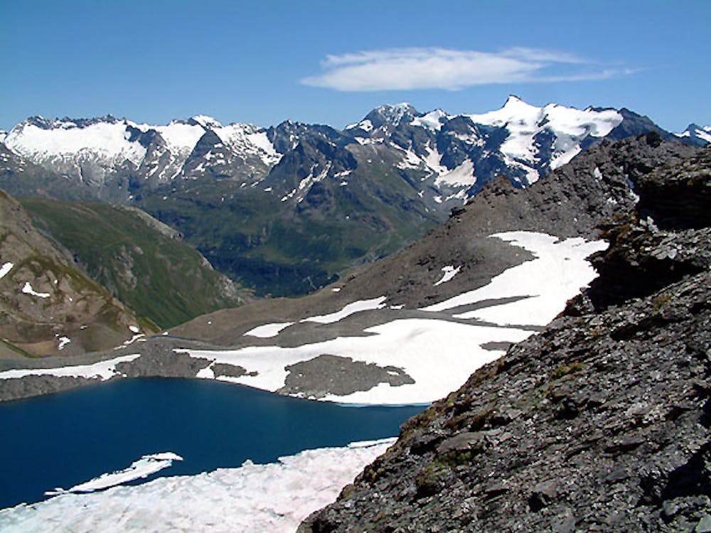
You'll pass two small, beautiful glacial lakes before the summit. You'll also pass Col des Fours a few hundred meters below the summit of Pointe des Fours.
Enjoy the amazing 360-degree views once at the summit; see how many peaks you can identify from this perfect viewing spot. This is high Alps terrain at its best!
To return, reverse the route to the start point. Or, as an alternative descent, retrace the route to the Col des Fours and use the descent route provided by "Col des Fours from Manchet." This finishes at the small village of le Manchet where a bus service is available, or a further walk is required to reach Val d'Isere.
Moderate
Hiking along trails with some uneven terrain and small hills. Small rocks and roots may be present.

The trail contains some obstacles such as outcroppings and rock which could cause injury.

Little chance of being seen or helped in case of an accident.
1.5 km away
A walk along the rocky alpine pastures, facing the majestic glacial cirques of the Arc springs.
Moderate Hiking
4.7 km away
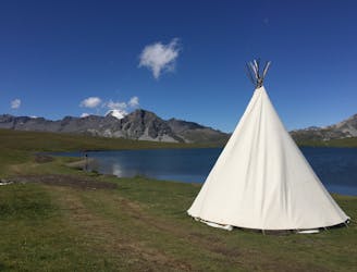
This hike towards the Col and Lake Grand Fond in Vanoise National Park offers a superb view of the glaciers, the peaks, and a beautiful lake.
Difficult Hiking
5 km away
A long-distance hike with a rare landscape on arrival.
Moderate Hiking
5.4 km away
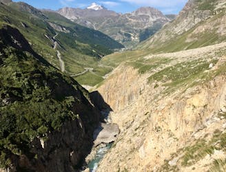
A medium length hike through gorges past grazing animals and leading towards a Col at 2957m.
Moderate Hiking
5.4 km away
Alternative Col hike from Vallon du Prariond
Moderate Hiking
6.3 km away
Discover Lac d'Ouillette, hidden from view from the Val d'Isere resort and onwards to a remote, rugged Col.
Moderate Hiking
6.3 km away
A stunning and strenuous round circuit through the Bailletaz Nature Reserve, passing above the glacial Lac de la Sassière.
Difficult Hiking
10 km away
A true alpine experience with high exposure along the Tovière ridge.
Moderate Hiking
8 routes · Hiking

14 routes · Hiking