4 m away
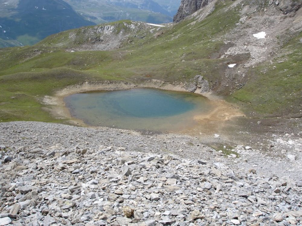
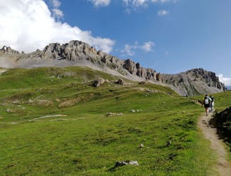
Col de la Madeleine and Lac d'Ouillette
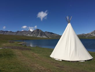
Discover Lac d'Ouillette, hidden from view from the Val d'Isere resort and onwards to a remote, rugged Col.
Moderate Hiking
- Distance
- 15 km
- Ascent
- 961 m
- Descent
- 961 m
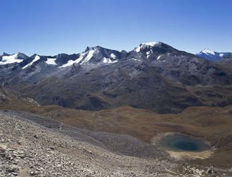
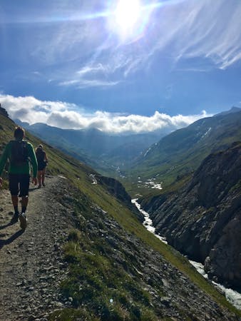
A stunning and strenuous round circuit through the Bailletaz Nature Reserve, passing above the glacial Lac de la Sassière.
Hiking Difficult

This is a stunning and strenuous round circuit through the Bailletaz Nature Reserve, passing above the glacial Lac de la Sassière.

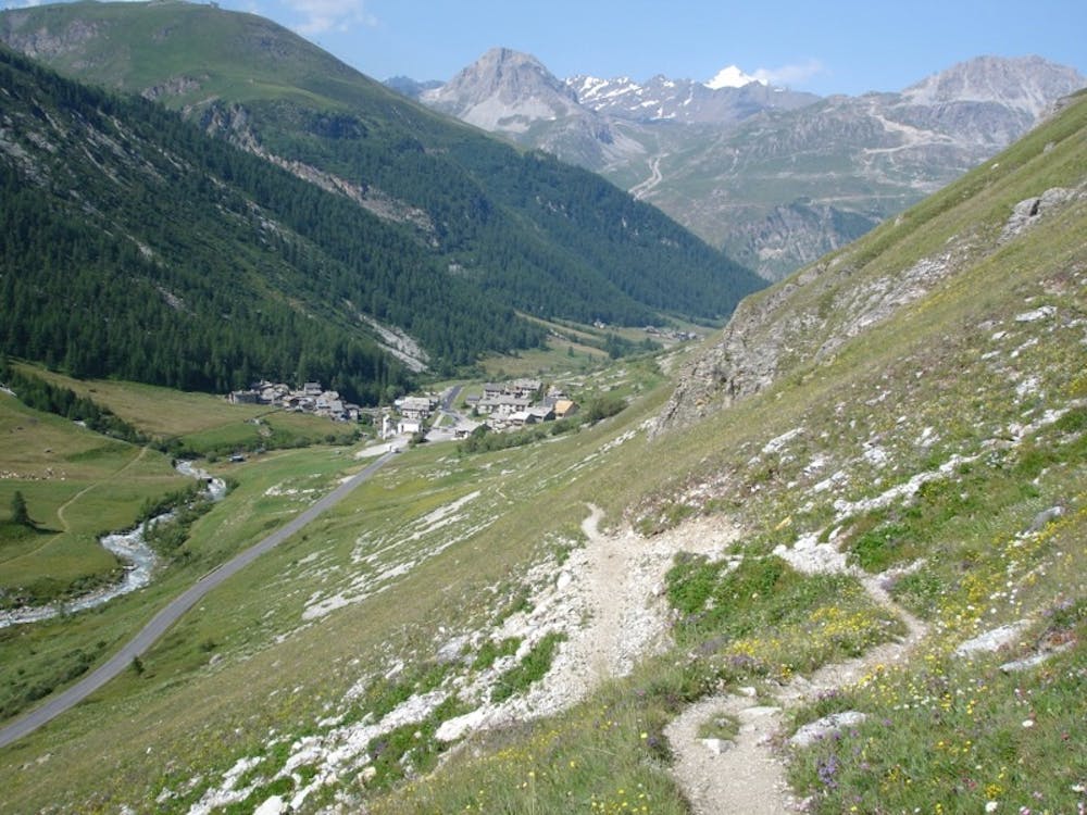

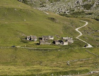
Start at the Office du Tourisme in Val d’Isère. After leaving street level, the path goes up gradually, continuing upon a balcony above and along the valley and below the soaring, jagged ridgeline of the Corniche. Eventually, the route passes above the hamlet of Le Fornet.
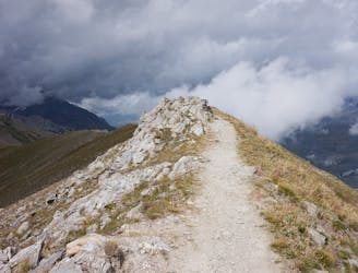
The trail is somewhat steep and stenuous to the Col de la Bailletta. Take time to enjoy the incredible views all around you!
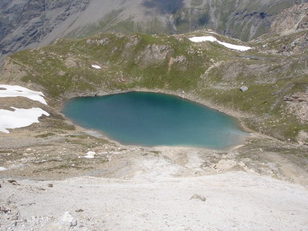
There are two beautiful alpine lakes (Lac de Bailletta and Lac de la Sassière) to enjoy during the route, both of which offer perfect, quiet stops for a bite to eat or refreshment that has been packed, and are ideal to really absorb the true ambience of this stunning area.
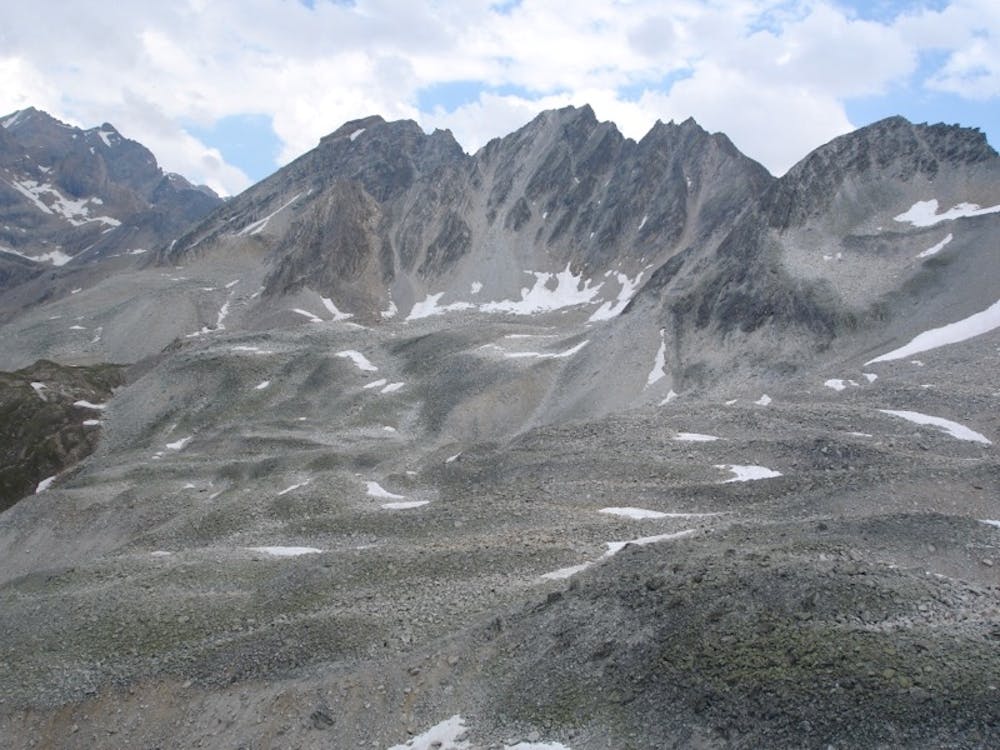
From the lakes, you’ll climb steepl toward the Passage de Picheru. Once you’ve summited, the descent from Passage de Picheru to La Daille is pretty difficult and very stressful on the legs.
Although this route is quite physically challenging it is well worth enduring the effort to hike a route through high alpine terrain in a particularly remote, quiet, and relatively undiscovered area.
Difficult
Hiking trails where obstacles such as rocks or roots are prevalent. Some obstacles can require care to step over or around. At times, the trail can be worn and eroded. The grade of the trail is generally quite steep, and can often lead to strenuous hiking.

The trail contains some obstacles such as outcroppings and rock which could cause injury.
Away from help but easily accessed.
4 m away
Discover Lac d'Ouillette, hidden from view from the Val d'Isere resort and onwards to a remote, rugged Col.
Moderate Hiking
2.5 km away
A long-distance hike with a rare landscape on arrival.
Moderate Hiking
3.1 km away
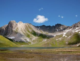
This hike towards the Col and Lake Grand Fond in Vanoise National Park offers a superb view of the glaciers, the peaks, and a beautiful lake.
Difficult Hiking
4.5 km away
A true alpine experience with high exposure along the Tovière ridge.
Moderate Hiking
4.8 km away
Alternative Col hike from Vallon du Prariond
Moderate Hiking
4.8 km away
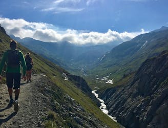
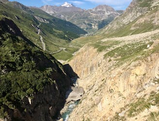
A medium length hike through gorges past grazing animals and leading towards a Col at 2957m.
Moderate Hiking
5.9 km away
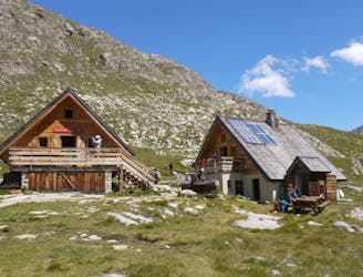
From the shores of Tignes Lake, pass two Cols on your way to the peaceful refuge below Grande Motte.
Moderate Hiking
5.9 km away

A lovely route with lakes, a dam, traditional alpine hamlets, and beautiful views of Mount Pourri.
Moderate Hiking
5.9 km away
A combination of the Tignes Resort and the heart of the national park. The contrast is amazing but telling of the history of the Vanoise.
Moderate Hiking
5.9 km away
Instead of riding the lift, follow this hike to reach the top of the Palafour Lift and extend the Aiguille Percée hike.
Moderate Hiking
8 routes · Hiking

14 routes · Hiking