4 m away
Tour of the Pointe du Chardonnet
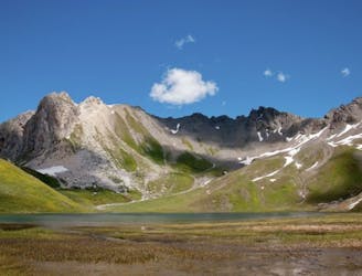
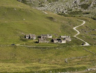
A combination of the Tignes Resort and the heart of the national park. The contrast is amazing but telling of the history of the Vanoise.
Moderate Hiking
- Distance
- 13 km
- Ascent
- 793 m
- Descent
- 793 m
Instead of riding the lift, follow this hike to reach the top of the Palafour Lift and extend the Aiguille Percée hike.
Hiking Moderate

Instead of riding the Palafour Chairlift to access the Aiguille Percée route, follow this hike from the base area (near the Office de Tourisme) up to the top of the Palafour Lift.
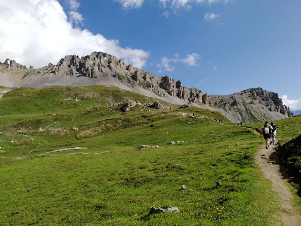
Stay focused on the path you are on and don’t be distracted by the trails reserved for mountain biking (VTT) nearby. Instead, follow the signs for Aiguille Percée.
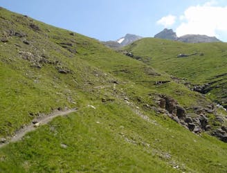
The route ascends continuously, and often with some steeper parts. Despite being steep, this trail is relatively easy. No scrambling is required.
Once at the top of Palafour lift, continue following signs for Aiguille Percée and use the description provided under "L'Aiguille Percée" adventure.
Moderate
Hiking along trails with some uneven terrain and small hills. Small rocks and roots may be present.

The trail contains some obstacles such as outcroppings and rock which could cause injury.
Away from help but easily accessed.
4 m away
A combination of the Tignes Resort and the heart of the national park. The contrast is amazing but telling of the history of the Vanoise.
Moderate Hiking
26 m away

A lovely route with lakes, a dam, traditional alpine hamlets, and beautiful views of Mount Pourri.
Moderate Hiking
27 m away
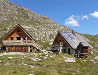
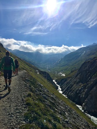
From the shores of Tignes Lake, pass two Cols on your way to the peaceful refuge below Grande Motte.
Moderate Hiking
1.3 km away
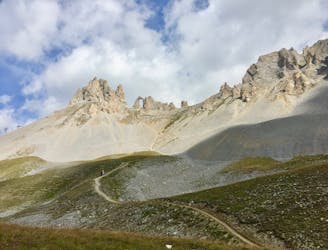
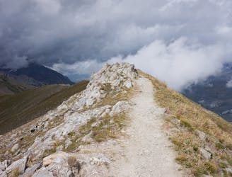
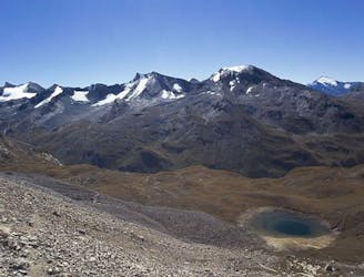
A hike to one of the best geological curiosities in Vanoise National Park: the "eye of the needle" and a spectacular high alpine ridgeline trail.
Difficult Hiking
1.9 km away
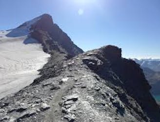
A true alpine experience with high exposure along the Tovière ridge.
Moderate Hiking
3.8 km away
This summit climb provides a high alpine challenge along a ridgeline beside Sassière glacier, with stunning views the entire route.
Difficult Hiking
5.9 km away
A stunning and strenuous round circuit through the Bailletaz Nature Reserve, passing above the glacial Lac de la Sassière.
Difficult Hiking
5.9 km away
Discover Lac d'Ouillette, hidden from view from the Val d'Isere resort and onwards to a remote, rugged Col.
Moderate Hiking
7.3 km away
This hike towards the Col and Lake Grand Fond in Vanoise National Park offers a superb view of the glaciers, the peaks, and a beautiful lake.
Difficult Hiking
8.3 km away
A long-distance hike with a rare landscape on arrival.
Moderate Hiking
8 routes · Hiking

14 routes · Hiking